Storm No. 15 is forecast to enter the sea area of Quang Ngai - Dak Lak provinces around December 1, then gradually weaken.
There are currently two scenarios for the storm's path. Scenario 1: The storm weakens into a tropical depression and continues to move inland, causing heavy rain in the eastern part of Dak Lak province. Total rainfall from the night of November 30 to the morning of December 3 is from 80 to 200 mm, with some places reaching over 250 mm.
Scenario 2, if the storm continues to weaken at sea, the eastern part of the province will likely have rainfall of about 50 - 100 mm.
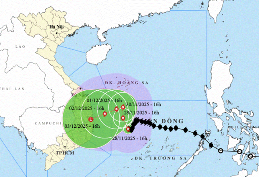 |
| Forecast of the location and direction of storm No. 15 at 5:00 p.m. on November 28. Photo: National Center for Hydro-Meteorological Forecasting |
Also according to the Dak Lak Province Hydrometeorological Station, the offshore sea area from the afternoon of November 28 had strong winds of level 6 - 7, then increased to level 8, gusts of level 9 - 10, waves 4 - 6 m high, rough seas. From November 29 - 30, the Dak Lak sea area had strong winds of level 7 - 8, gusts of level 9 - 10. Wave height from 4 - 6 m, near the storm center 6 - 8 m, rough seas to very rough seas.
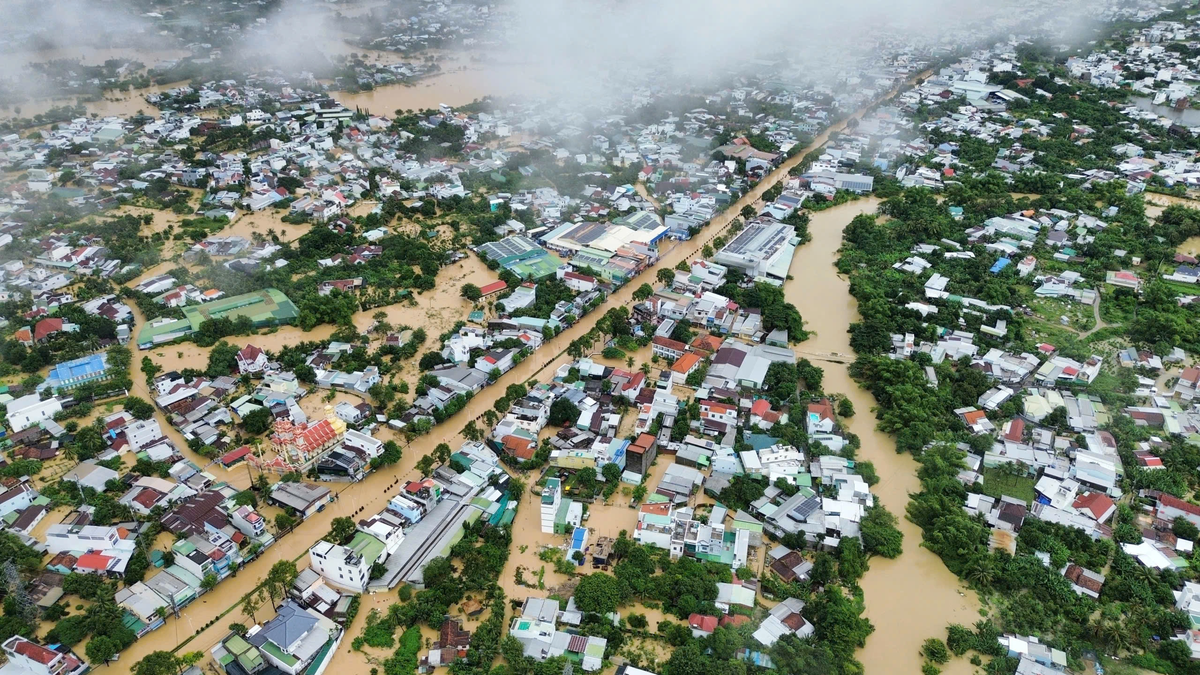
Regarding hydrology, from December 1 to 4, there is a possibility of a flood occurring on the rivers in the East of the province, with the flood peak at alert level 1-2.
Dak Lak Province's Hydrometeorological Station warns that all boats, aquaculture cages and activities at sea are at high risk of being affected by strong winds, tornadoes, big waves, and need to be on guard against flash floods and landslides due to the ground being saturated by recent floods.
Viet An
Source: https://baodaklak.vn/thoi-su/202511/bao-so-15-co-huong-di-chuyen-va-cuong-do-thay-doi-rat-phuc-tap-437208a/










































Comment (0)