
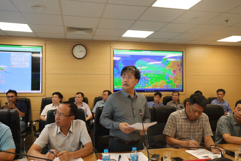
On the afternoon of July 18, the Ministry of Agriculture and Environment (MARD) held a meeting with relevant ministries and branches on response to storm Wipha (storm No. 3).
At the meeting, Mr. Mai Van Khiem, Director of the National Center for Hydro-Meteorological Forecasting, said that on the morning of July 21 (Monday), the storm will move into the Gulf of Tonkin and on the night of July 21, it is likely to begin affecting the mainland of our country.
“From the afternoon of July 20, there may be an impact of thunderstorms in the western circulation of the storm. From July 21 to 24, the storm may cause widespread heavy rain in the Northern and Northern provinces of the North Central region. The amount of rain also depends on the direction of the movement of storm No. 3. It is likely to cause heavy rain in the North, Thanh Hoa, Nghe An , the rain period from July 21 to 24, rainfall of 200-350mm, in some places over 600mm”, Mr. Khiem informed.
According to Mr. Khiem, the forecast models of many countries in the region have not yet reached a consensus. In particular, the highest intensity forecast is level 12 with gusts of level 15 when entering the east of Hainan Island (China). Mr. Khiem commented: "Based on the analysis and calculation data of the hydrometeorological agency, we believe that on the morning of July 19, the storm will enter the East Sea, and on July 21, when moving close to the east of Hainan Island, the storm intensity will be level 12 with gusts of level 15."
In particular, Mr. Khiem commented that the path and impact of this storm will be similar to last year's storm Yagi , so we need to pay close attention and have plans to prevent strong storms when they make landfall at level 10-11, gusting at level 14-15.
Regarding response work, by 11am on July 18, the Border Guard had counted and notified 35,183 vehicles with 147,336 workers operating at sea. Currently, there are no vehicles operating in the storm-affected area.
The Ministry of Agriculture and Rural Development has issued an official dispatch requesting provinces and cities from Quang Ninh to Dak Lak to prepare plans to deal with storms and heavy rains. The Ministry of National Defense has directed military forces to be on standby. The Ministry of Foreign Affairs has asked countries to create conditions for Vietnamese boats to take shelter from the storm. The Department of Dyke Management and Natural Disaster Prevention and Control has sent out more than 35 million text messages warning and instructing people to respond to storms according to the "4 on-site" motto.

At the meeting, Deputy Minister of Agriculture and Environment Nguyen Hoang Hiep also said that Typhoon Wipha has the same characteristics as Typhoon Yagi. “When it enters the East Sea and strengthens, it looks similar, but hopefully it is not as strong as Typhoon Yagi. If the typhoon dissipates at sea, that would be better, but we should not be complacent,” Mr. Hiep emphasized.
Storms No. 1 and 2 had almost no impact, but the leader of the Ministry of Agriculture and Environment affirmed that Storm No. 3 will definitely impact Vietnam, causing rain, wind, floods, and landslides. Therefore, Mr. Hiep reminded the Department of Dyke Management and Natural Disaster Prevention to pay attention to the risk of landslides, because "since the beginning of the year, landslides have been continuous."
Along with that, flooding also makes the Deputy Minister concerned because it has been happening continuously in the recent period. "Typically, Thai Nguyen has had 2 floods since the beginning of the year. A series of other urban areas, including Hanoi, are also at high risk of flooding, which is very worrying," Deputy Minister Hiep expressed.
Source: https://cand.com.vn/Xa-hoi/bao-wipha-co-nhieu-net-tuong-dong-yagi-do-bo-voi-cap-do-manh-i775229/


Comment (0)