

On the morning of July 20, comrade Le Tien Chau, member of the Party Central Committee, Secretary of the City Party Committee, Head of the National Assembly Delegation of Hai Phong City inspected the work of preventing storm No. 3 (storm WIPHA) in Cat Hai special zone.
Also attending were: Colonel Bui Xuan Thang, member of the Standing Committee of the City Party Committee, Commander of the City Military Command; Nguyen Minh Hung, member of the City Party Committee, Vice Chairman of the City People's Committee; leaders of a number of departments, branches and sectors of the city.

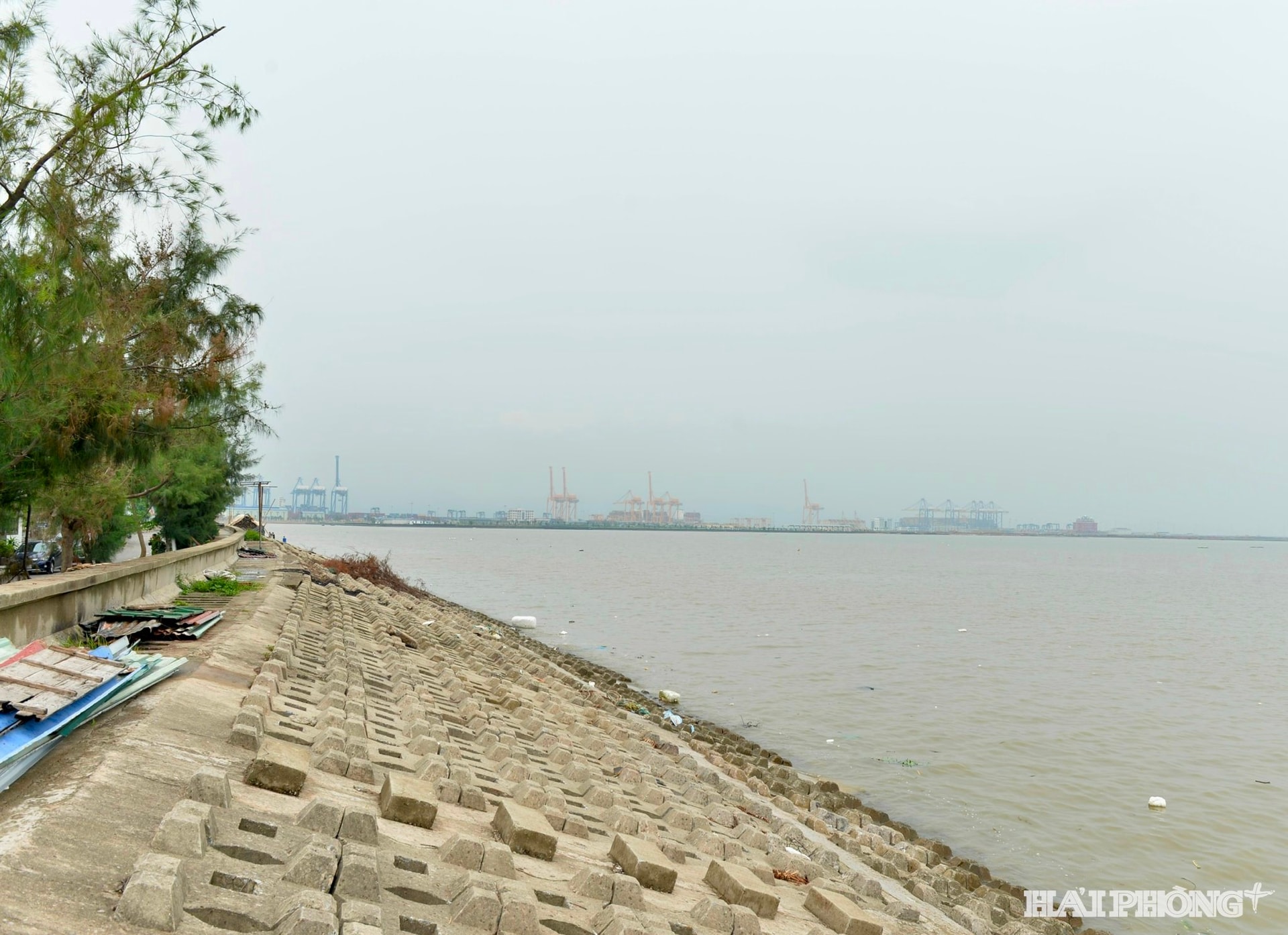
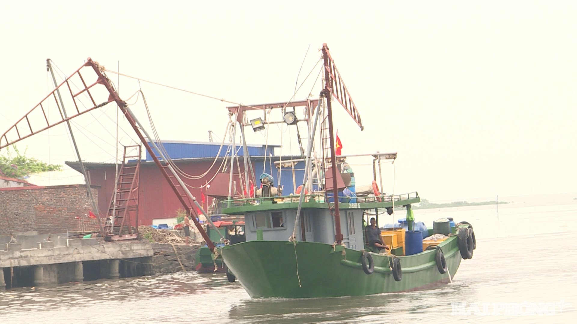
After the field inspection, Comrade Secretary of the City Party Committee Le Tien Chau requested the departments and branches of the city and Cat Hai special zone to urgently call on ship owners, count fishing boats, tourist boats, and aquaculture rafts in the sea areas to take safe shelter from the storm. Take measures to secure houses, warehouses, wharves and reinforce vulnerable locations on the Hoang Chau sea dike. Transport tourists at Cat Ba tourist area to safety before the city issues a sea ban.
On the same morning, leaders of Bach Long Vi special zone inspected storm prevention work No. 3 at Bach Long Vi port area, residential areas, departments, units... in the special zone.
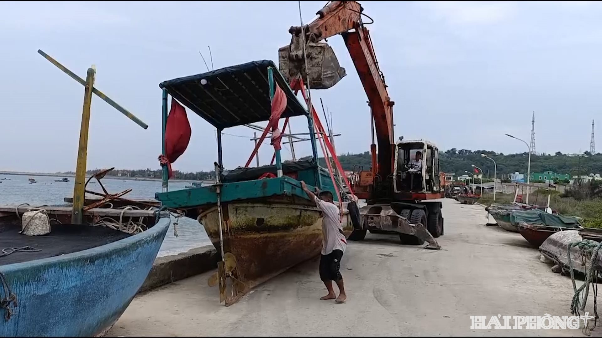
On the morning of July 20, Bach Long Vi special zone had no rain and light wind. Local authorities and Party committees have always been proactive in storm prevention work with a spirit of urgency and determination, ensuring the highest safety for the lives and property of fishermen and people.
On the morning of July 20, Do Son ward held an urgent meeting to deploy response work to storm No. 3.

The ward leaders requested units to be prepared and synchronously deploy response work according to the "4 on-site" motto; develop plans and scenarios to proactively prevent and overcome consequences caused by storms and heavy rains, especially heavy rain combined with high tides, and prevent landslides caused by heavy rain to absolutely protect people and property.
Storm No. 3 is moving rapidly towards the mainland of Quang Ninh - Thanh Hoa
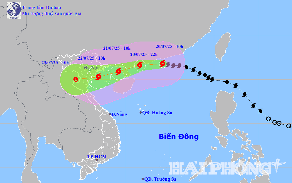
According to the National Center for Hydro-Meteorological Forecasting, at 10:00 a.m. on July 20, the center of storm No. 3 (storm WIPHA) was located at about 21.8 degrees north latitude, 114.2 degrees east longitude, in the northern sea area of the North East Sea, about 680 km east of Quang Ninh - Hai Phong. The strongest wind near the storm center is level 11 - 12 (103 - 133 km/h), gusting to level 15. Storm No. 3 is moving west at a speed of 20 - 25 km/h.
It is forecasted that in the next 24 - 72 hours, storm No. 3 will continue to move west, then turn west-southwest at a speed of 20 - 25 km/h. At 10:00 on July 21, the center of storm No. 3 is in the sea east of the northern Gulf of Tonkin. Winds near the center of the storm are at level 11, gusting to level 14. At 10:00 on July 22, the center of the storm will enter the coastal area from Quang Ninh - Thanh Hoa. The storm's wind intensity is at level 10 - 11, gusting to level 14.
Due to the influence of storm No. 3, the northern East Sea has strong storm winds of level 8-10, near the storm center of level 11-12, gusting to level 15; waves 5-7m high, rough seas.
From the night of July 20, the northern Gulf of Tonkin (including Co To, Bach Long Vi, Cat Hai, Hon Dau) will have strong winds of level 6-7, then increasing to level 10-11, gusting to level 14; waves 2-5m high.
Hai Phong – Quang Ninh area, sea level rise due to storm from 0.5 – 1.0m, total water level from 4 – 5m. High risk of flooding in low-lying areas at noon on July 22.
From July 21 to 23, the Northeast region, the Northern Delta, Thanh Hoa, Nghe An will have very heavy rain of 200 - 350mm, locally over 600mm.
Source: https://baohaiphongplus.vn/bi-thu-thanh-uy-le-tien-chau-kiem-tra-cong-tac-phong-chong-bao-so-3-tai-dac-khu-cat-hai-416811.html


![[Photo] National Assembly Chairman Tran Thanh Man visits Vietnamese Heroic Mother Ta Thi Tran](https://vphoto.vietnam.vn/thumb/1200x675/vietnam/resource/IMAGE/2025/7/20/765c0bd057dd44ad83ab89fe0255b783)


Comment (0)