
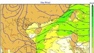
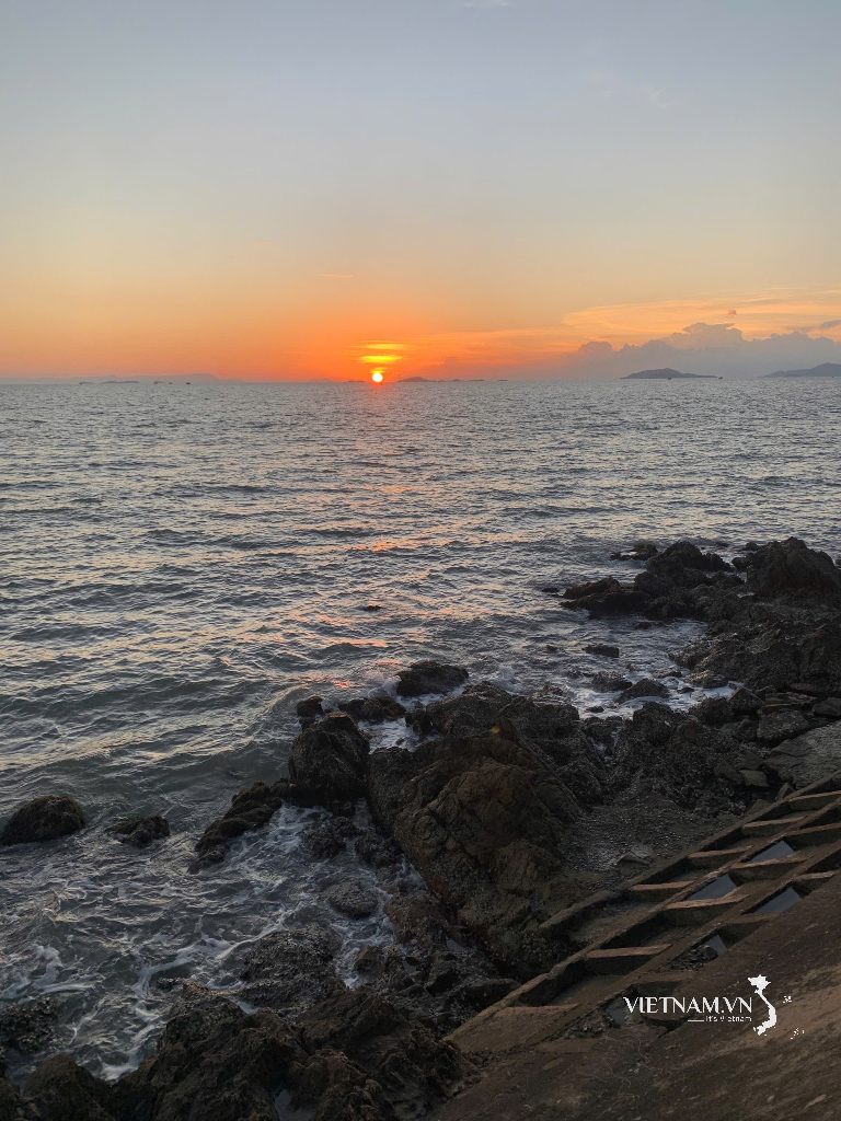
At 1 p.m., the center of the low pressure area was at about 8-9 degrees North latitude and 114-115 degrees East longitude. The National Center for Hydro-Meteorological Forecasting forecasts that in the next 24 hours, the low pressure area will move in a West-Southwest direction, traveling about 20km per hour.

Due to the influence of low pressure circulation, combined with cold air, the South East Sea area has strong winds of level 5, gusting to level 7; the western sea area of the South East Sea area (including the western sea area of Truong Sa special zone), the sea area from Khanh Hoa to Ca Mau and the North East Sea area (including Hoang Sa special zone) has strong northeast winds of level 6, sometimes level 7, gusting to level 8-9, waves 2-4m high and thunderstorms, strong gusts.
The meteorological and hydrological agency warns that ships operating in the above sea areas should proactively take precautions to ensure safety.
Meteorological and hydrological experts also said that the above low pressure area will indirectly cause rain in the South Central and Southern regions.
Source: https://www.sggp.org.vn/bien-dong-xuat-hien-vung-ap-thap-post827709.html
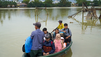
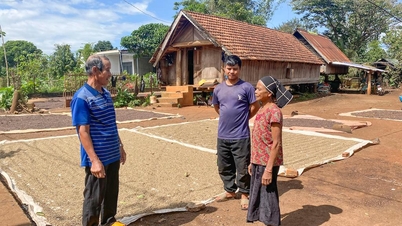
![[Photo] Urgently help people soon have a place to live and stabilize their lives](/_next/image?url=https%3A%2F%2Fvphoto.vietnam.vn%2Fthumb%2F1200x675%2Fvietnam%2Fresource%2FIMAGE%2F2025%2F12%2F09%2F1765248230297_c-jpg.webp&w=3840&q=75)


![[Photo] General Secretary To Lam works with the Standing Committees of the 14th Party Congress Subcommittees](https://vphoto.vietnam.vn/thumb/402x226/vietnam/resource/IMAGE/2025/12/09/1765265023554_image.jpeg)


Comment (0)