
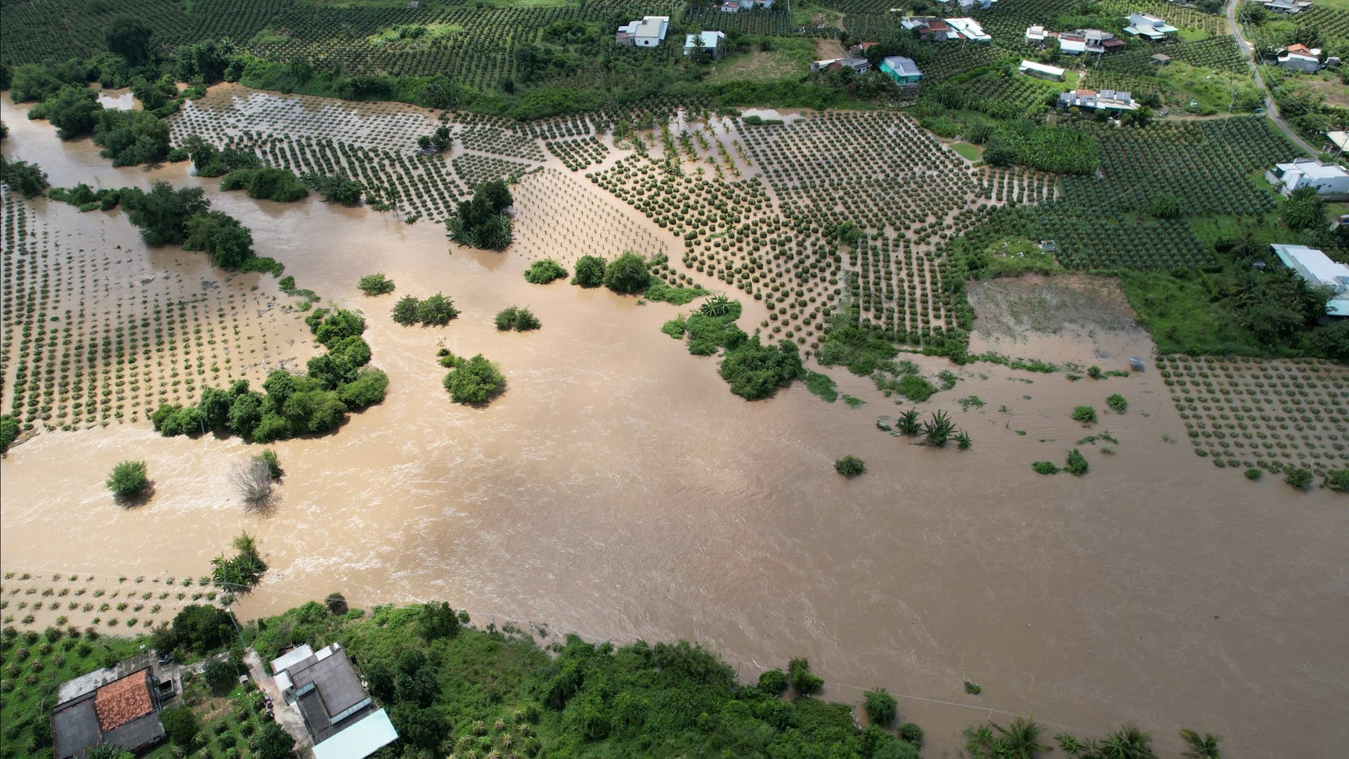
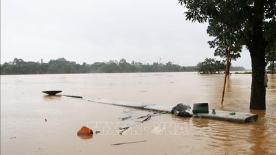
According to Mr. Nguyen Hung Tan, from October 27 to 30, due to prolonged heavy rain combined with flood discharge from Song Quao reservoir from 350 - 500m³/s, it caused widespread flooding in many communes and wards in the Southeast region of the province.
Compared to the historic flood in 1993, the water level this time is 1-2m higher, considered the most serious flood in more than three decades.
The cause was determined to be the influence of the Northeast monsoon combined with the tropical convergence zone passing through Lam Dong province.
Heavy rain in the upstream caused the water level of Song Quao Lake to exceed the normal flood level, forcing an increase in spillway discharge, causing water to rise rapidly in the downstream area.
This weather pattern is rare in recent years. Therefore, it is necessary to raise public awareness about disaster response in the context of complex climate change.
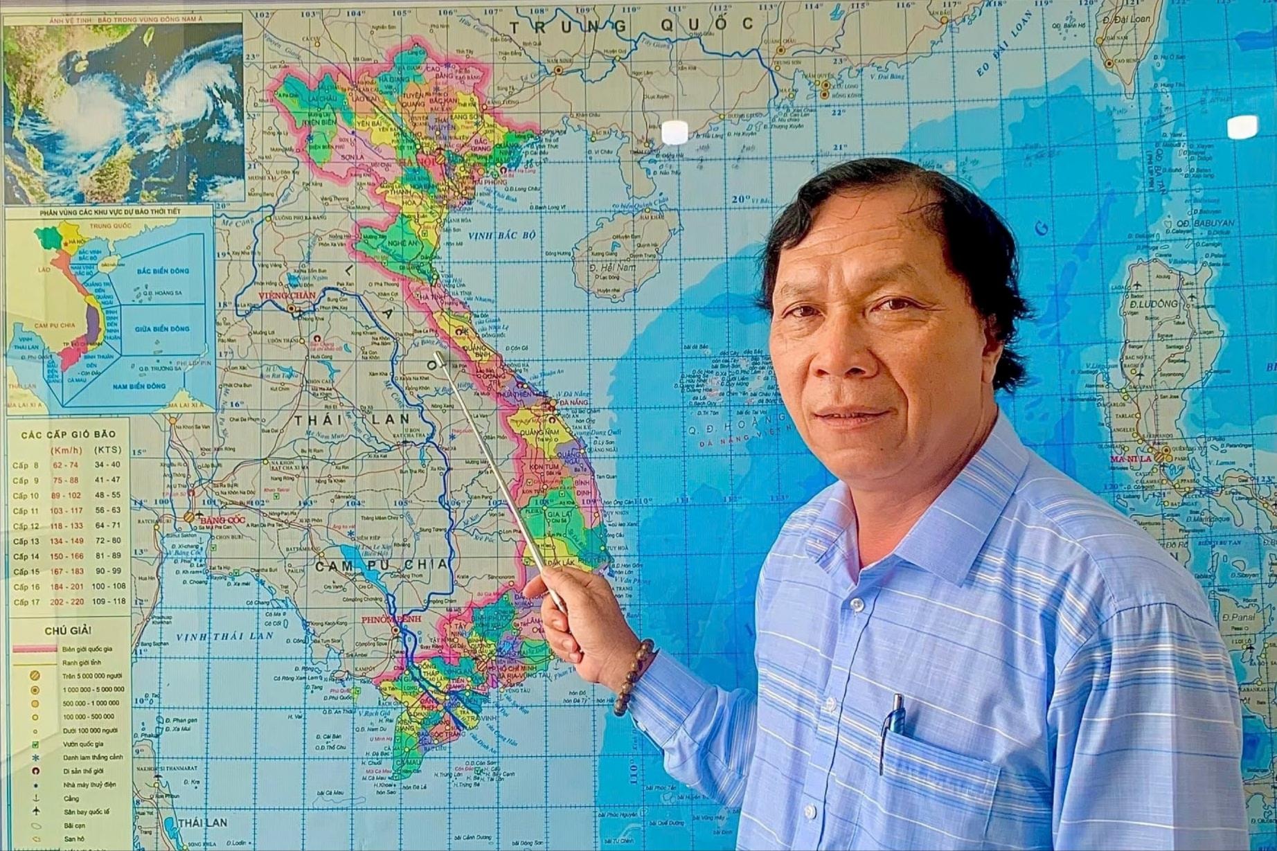
Mr. Nguyen Hung Tan, former Chief of Office of the Steering Committee for Natural Disaster Prevention and Search and Rescue of Binh Thuan province (old)
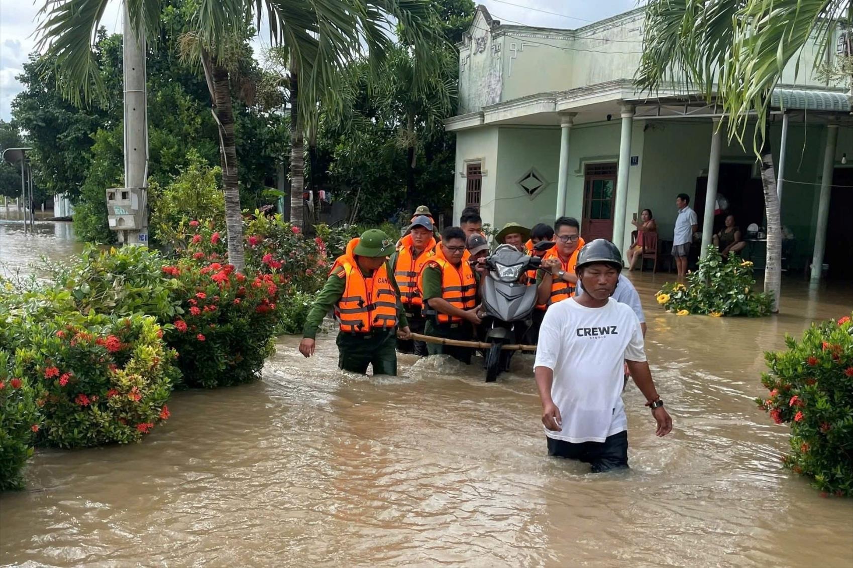
Mr. Nguyen Hung Tan proposed organizing drills for commune-level officials and people in downstream areas, especially in remote areas and ethnic minority areas, to improve the ability to respond quickly when natural disasters occur.
In addition, it is necessary to review low-lying areas, deep flooded areas, downstream of reservoirs, develop specific response scenarios, and equip commune-level shock forces with knowledge and rescue equipment.
Mr. Tan emphasized that this is the key force, implementing the "4 on-site" motto - on-site command, on-site force, on-site means and on-site logistics.
.jpg)
This flood is also a warning about the need to upgrade the flood drainage system, expand culverts, spillways and bridges to ensure the safety of residential areas and proactively respond to increasingly extreme weather conditions.
According to the Lam Dong Province Civil Defense Command, the peak flood level on the Luy River on October 28 reached 29.49 m, nearly 1 m higher than alert level 3, exceeding the historic flood in 1996.
The water level on the Ca Ty River in Phan Thiet also exceeded alert level 1, showing the dangerous level and unusual developments of the 2025 flood.
Source: https://baolamdong.vn/dot-mua-lu-tai-khu-vuc-dong-nam-tinh-lam-dong-nghiem-trong-nhat-trong-hon-3-thap-ky-399445.html

![[Photo] Lam Dong: Images of damage after a suspected lake burst in Tuy Phong](https://vphoto.vietnam.vn/thumb/1200x675/vietnam/resource/IMAGE/2025/11/02/1762078736805_8e7f5424f473782d2162-5118-jpg.webp)


![[Photo] President Luong Cuong receives US Secretary of War Pete Hegseth](https://vphoto.vietnam.vn/thumb/1200x675/vietnam/resource/IMAGE/2025/11/02/1762089839868_ndo_br_1-jpg.webp)


Comment (0)