
In Dien Bien Phu City alone, 8/12 communes and wards have built a land database (LDB). The remaining districts and towns of Dien Bien province are in the planning stage, calling for investment funds to
building database
There are many difficulties
Discussing this issue with reporters, Ms. Duong Thi Minh Dieu - Director of the Land Registration Office, Department of Natural Resources and Environment of Dien Bien province, said: Currently, Dien Bien province still has 5 districts that have not been surveyed for cadastral maps, including: Tuan Giao, Dien Bien, Dien Bien Dong, Nam Po, Muong Cha districts. 9/10 districts and towns of Dien Bien province do not have a cadastral database. Meanwhile, the cadastral database only provides people who need to look up information on the issuance of Land Use Right Certificates. If you want to refer to more information about the location of the land plot, what the land price is, you must upgrade from the cadastral database to the cadastral database. Only from the cadastral database can all information about the land plot be digitized, which is the input information to serve the digital transformation in the land sector well.
Ms. Diu added: To invest in building a database for the entire Dien Bien province, according to the unit price built in 2022, at the time when salaries had not been raised, it would cost about 192 billion VND. Only when the province has a database can it carry out digital transformation systematically and effectively. Currently, in reality, only Dien Bien Phu city has a database, but it is currently unusable for two reasons.
Firstly, because the unit does not update land fluctuations regularly. The Land Registration Office has repeatedly issued documents urging this content, but so far, things have not changed. Currently, Dien Bien Phu City has 7 new resettlement areas and 4 new communes: Muong Phang, Na Nhan, Na Tau and Pa Khoang, which were separated from Dien Bien district and merged into the city in 2019. Because the 4 newly merged communes have not been surveyed on cadastral maps, in the coming time, the city will survey land owners in these 4 communes and update the city's fluctuation data.
Second, the Dien Bien Phu City Land Database Management Software, Vilis 2.0, often has errors and is difficult to update, causing difficulties for the Dien Bien Phu City Land Management Center every time it updates.
To explain the lack of regular updates on land fluctuations in Dien Bien Phu City, according to the Report dated July 26, 2023 of the Dien Bien Phu City Land Management Center, it is stated that: Currently, the province's key projects, including 11 projects, are all located in Dien Bien Phu City, so the workload is very large and complicated, taking a lot of time, especially compensation and site clearance. Therefore, the management and operation of the database in the city still has many shortcomings. In addition to the fact that the City Land Management Center cannot arrange staff, the software has expired since 2022.
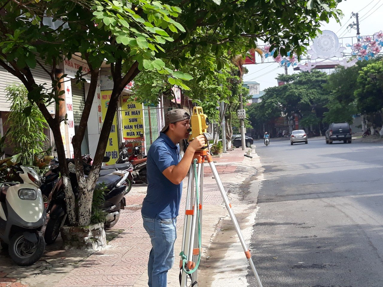
It is known that in the 5 districts of Dien Bien province that have not yet been surveyed, Dien Bien district has 12/21 communes in the basin area that have been surveyed with paper maps since 1994. The remaining 9 highland communes of this district have not yet been surveyed. Thus, the input data on land in Dien Bien district is also very old, to digitize, this locality is forced to re-measure, measure additionally and adjust fluctuations, and update on land management software.
Encourage districts to invest in surveying consultancy.
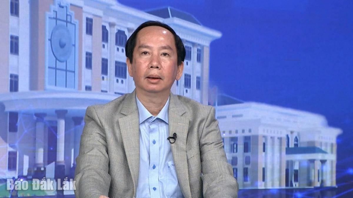
Sharing with us about the difficulties in land management in general and establishing the land database in particular of the locality, Mr. Pham Duc Toan - Permanent Vice Chairman of Dien Bien Provincial People's Committee, said: "In the immediate future, we are measuring and re-assigning the ownership of all forestry land in the whole province to overcome the situation of land and forest allocation but not handing over in the field.
Because of this, there has been overlap and long-standing disputes among the people. To put an end to this situation, we have implemented a plan to allocate land, allocate forests and issue certificates of forest land use rights in the whole province from 2018 to present. Basically, districts, towns and cities of Dien Bien province have been implementing this content very thoroughly, and must complete it by January 2024. As for the measurement and construction of the land database, the province encourages districts to calculate and consider allocating 10-20% of the land auction fee to hire consultants to measure one commune per year.
As of September 30, 2023, Dien Bien province has granted land use right certificates for 86,539.86 hectares with 47,573 agricultural land certificates; 322,431.10 hectares, with 44,043 forestry land certificates. Rural residential land has been granted 828.0 hectares with 22,320 certificates. Urban residential land has been granted 525.5 hectares, with 28,298 certificates. Specialized land has been granted 2,671.01 hectares, with 2,340 certificates.
“Currently, Dien Bien district is doing very well in this area. This year, Dien Bien district is hiring a survey consultant in Thanh Xuong commune and plans to continue surveying Thanh Hung commune in 2024. The remaining districts have not been able to do so because the land auction has encountered many obstacles. However, in the long term, we are assigning the Department of Natural Resources and Environment to make a request for funding from the central and local governments to partially match the survey and build input data to better serve the digital transformation of land in Dien Bien,” said Mr. Toan.
Source


Comment (0)