
The Provincial People's Council's monitoring delegation proposed to promptly overcome shortcomings and limitations in the work of measuring, adjusting, updating changes, and storing and exploiting cadastral records information in Ha Tinh city.
On the afternoon of September 14, the thematic supervision delegation "Results of updating and adjusting maps and cadastral records in the province in the period of 2020 - 2023" of the Provincial People's Council worked with the Land Registration Office, Ha Tinh City branch - Cam Xuyen. Vice Chairman of the Provincial People's Council Tran Van Ky and Head of the Economic - Budget Committee of the Provincial People's Council Nguyen Thi Thuy Nga chaired. Also attending was Chairman of the Provincial Party Committee's Inspection Commission Ha Van Trong. |
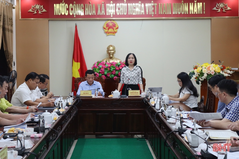
Vice Chairman of the Provincial People's Council Tran Van Ky and Head of the Economic - Budget Committee of the Provincial People's Council Nguyen Thi Thuy Nga chaired.
In recent times, the Land Registration Office of Ha Tinh City - Cam Xuyen branch has regularly paid attention to the management and monitoring of cadastral records; speeding up the issuance of land use right certificates to fully update information in cadastral records. The cadastral map system after being measured and adjusted has been updated and transferred to wards and communes for implementation.
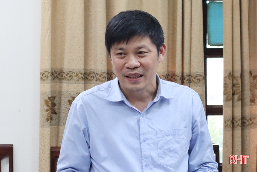
Deputy Director of the Department of Natural Resources and Environment Nguyen Ngoc Hoach explained some contents related to the industry.
Up to now, Ha Tinh city has completed the first phase of cadastral mapping and cadastral records construction for 16/16 wards and communes according to the cadastral mapping and database construction project.
Phase 2 of the project is to issue and change land use right certificates and adjust cadastral maps after the current issuance and change, which has only been accepted by the Department of Natural Resources and Environment for 6/16 wards and communes. Currently, the City People's Committee is requesting a plan to remove and complete the project for 10 wards and communes. Up to now, the number of land plots that have been issued and changed according to the project and individually in the city is 59,710 plots, reaching 94.7%, of which 28,475 plots are residential land and 31,226 plots are agricultural land.
At the meeting, the leaders of the Land Office of Ha Tinh City - Cam Xuyen branch also pointed out some problems and difficulties such as: The land database system is not complete, the survey and mapping of 16/16 wards and communes has been surveyed since 2014, so the current land use status has changed, leading to difficulties in the process of building records for granting land use right certificates; in 12 wards and communes, the surveying consultancy unit has not yet carried out the handover and acceptance of cadastral maps after granting and changing certificates, leading to difficulties in cadastral records management; the use of paper data records causes many difficulties in updating and editing...
At the same time, it is recommended to promptly complete the work of editing, checking and accepting maps after granting certificates to implement unified management according to regulations.
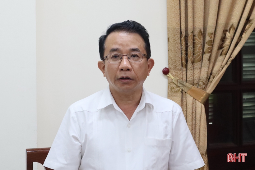
Chairman of the Provincial Party Committee's Inspection Commission Ha Van Trong: Request the Land Registration Office, Ha Tinh City - Cam Xuyen branch to clarify the causes of some difficulties and problems affecting the progress of updating and correcting maps and land records in the city.
Acknowledging the results of updating and adjusting maps and cadastral records in Ha Tinh City, Head of the Economic - Budget Committee of the Provincial People's Council Nguyen Thi Thuy Nga and the delegates attending requested to promptly overcome the shortcomings and limitations in the work of measuring, adjusting, updating changes and storing and exploiting information to ensure compliance with regulations; coordinate with the People's Committees at the commune level to hand over cadastral records when there is a change in cadastral officials at the commune level according to the provisions of Point d, Clause 3, Article 32, Circular No. 24/2014/TT-BTNMT dated May 19, 2014 of the Ministry of Natural Resources and Environment.
Regularly update and correct maps and cadastral records for cases of changes due to the implementation of land users' rights; urge surveying consultants to hand over and accept cadastral maps after issuing and exchanging certificates to ensure cadastral records management...
Spring Flower
Source


Comment (0)