
In the context of increasingly profound impacts of climate change and unpredictable fluctuations in the international river system, forecasting the dry season flow on the Red River, especially from the upstream part outside Vietnam's territory, has become an urgent requirement to ensure water security and effective operation of reservoirs.
From that reality, the research team led by Associate Professor, Dr. Nguyen Tien Giang (University of Natural Sciences, Vietnam National University, Hanoi) implemented the project " Research on developing methods and technology to forecast dry season flow, 10-day, month, and season period to the Vietnam - China border" in 36 months (January 2023 - December 2025), under Program 562 of the Ministry of Science and Technology .
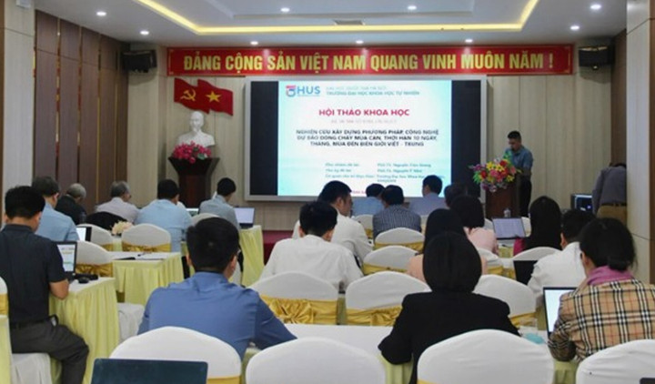
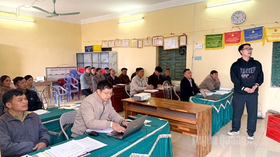
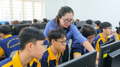
Overview of the scientific workshop introducing the results of the project "Research on developing methods and technology to forecast dry season flow, 10-day, month and season period to the Vietnam - China border". (Photo: Ministry of Science and Technology)
Building a modern data platform and forecasting technology for the Red River
The Red River - Thai Binh River system is the second largest basin in Vietnam, playing a strategic role in terms of economy, politics and water security. However, because more than half of the dry season flow in the basin lies within Chinese territory, forecasting is challenging due to the lack of upstream hydrometeorological data, while the operation of a series of hydropower reservoirs in China continuously changes the natural flow regime.
Traditional rainfall and streamflow models are no longer suitable. The question is: How to forecast accurately when there is almost no upstream data?
Based on that requirement, the research team approached the problem with a combination of modern methods: Using remote sensing data, satellite images, re-analysis data and hydrological models - combined with advanced machine learning algorithms. Not only forecasting, the team also built the first complete dataset on the upper Red River in China, which has been a gap for many years in the Vietnamese water resources industry.
From those explanations, the topic sets out three main objectives: To build a data set on natural geographical conditions, the system of main reservoirs (characteristics, operating procedures...) in the upper part of the Red River basin in Yunnan province, China; To assess the change in the hydrological regime in the upper part of the Red River basin under the impact of climate change and the system of main reservoirs in China; To build a method and technology to forecast the dry season flow for an average period of 10 days, months, and seasons to the Vietnam-China border; to apply a pilot program to a specific sub-basin (in the Red River basin). Orientation of solutions to minimize damage caused by changes in dry season flow is also proposed based on a comprehensive analysis of seven research contents.
The focus of the research is to reproduce natural conditions, reservoir systems, water level fluctuations - reservoir area and changes in hydrological regime under the impact of socio-economic development as well as climate change. The team developed a WebGIS platform to store, simulate and visualize data in real time, supporting reservoir lookup, analysis and operation. This tool allows online access, uses open data and is completely independent of commercial software copyright.
Machine learning algorithm combination improves dry season forecast accuracy
During the implementation process, the team applied high-resolution satellite images (Sentinel, Landsat, MODIS and NICFI 5m images), combined with satellite altimeter data to determine the water surface area and water level changes of reservoirs in the upstream - where Vietnam has no direct monitoring data. This process was tested in a number of reservoirs in Vietnam before expanding to 15 major reservoirs in the Yunnan region (China), allowing for the calculation of changes in reserves and discharge flows over time.
In parallel, there is a system of intra-seasonal and seasonal rainfall forecasting models dedicated to the upper Da River - the most important upstream area of the Red River system. The models allow forecasting rainfall with a period of 90 - 180 days, time step of 10 - 30 days, creating input for simulation of dry season flow.
In particular, the team developed a set of flow forecasting models based on a combination of more than 10 machine learning algorithms and physical hydrological models, resulting in three optimal forecasting models at 1-month, 3-month and 6-month horizons, as well as a hybrid model combining data and physics. These models allow for the calculation of 10-day average flow - a mandatory requirement in the Red River Inter-Reservoir Operation Procedure issued under Decision 740/QD-TTg.
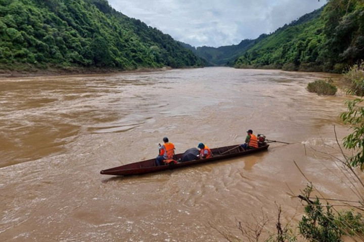
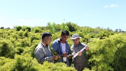
Measuring the flow data of the upstream Da River at Pac Ma, Muong Te, Lai Chau to serve the research of the Project. (Photo: Science and Technology)
Associate Professor Dr. Nguyen Tien Giang said that the application of machine learning in streamflow forecasting has brought "encouraging initial results, with superior accuracy compared to traditional methods, especially effective in conditions of data shortage" . The dry season streamflow forecasting technology set is being calibrated, tested and will soon be put into practical testing, promising to open up a new approach in transboundary water resources management.
The project also has fundamental significance in planning water security strategies. For the first time, Vietnam can estimate, simulate and forecast the flow of the upper Red River beyond its territory, without sharing data with China - something that many countries with international rivers are still having to do to be proactive in management.
The results will contribute to completing the Red River database; supporting reservoir operations, water resource allocation, drought response in the Red River Delta; and providing scientific arguments for future studies or negotiations related to cooperation in managing the Red River basin.
With a systematic approach, modern technology and independently developed data, the project marks an important step forward in the effort to “master” upstream information and improve the capacity to forecast and manage water resources in the Red River basin. When widely applied, the research results not only serve scientific tasks but also create a premise for sustainable development of the Northern Delta in the context of increasing water resource challenges.
Source: https://vtcnews.vn/lam-chu-cong-nghe-du-bao-dong-chay-mua-can-den-bien-gioi-viet-trung-ar991988.html


![[Photo] Urgently help people soon have a place to live and stabilize their lives](/_next/image?url=https%3A%2F%2Fvphoto.vietnam.vn%2Fthumb%2F1200x675%2Fvietnam%2Fresource%2FIMAGE%2F2025%2F12%2F09%2F1765248230297_c-jpg.webp&w=3840&q=75)


![[Photo] General Secretary To Lam works with the Standing Committees of the 14th Party Congress Subcommittees](https://vphoto.vietnam.vn/thumb/402x226/vietnam/resource/IMAGE/2025/12/09/1765265023554_image.jpeg)


Comment (0)