
According to Mr. Khiem, the edge of the storm's circulation can cause thunderstorms for our mainland from the evening and night of July 20. Thunderstorms this afternoon in the North are formed due to wind convergence along the low trough across the North in the Northwest - Southeast direction.
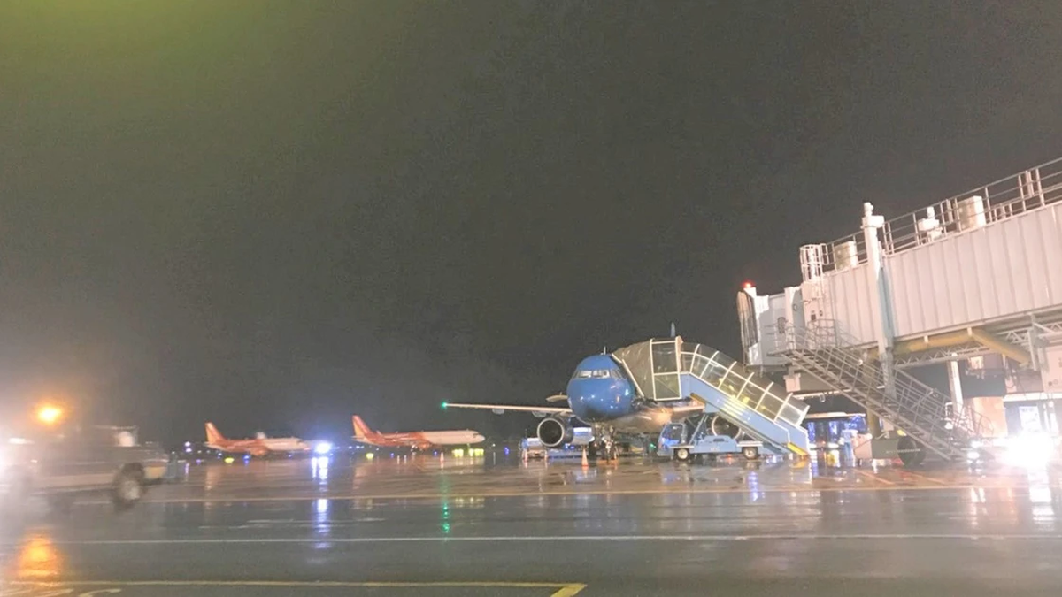
At around 4:30 p.m. this afternoon, July 19, in Hanoi and some neighboring provinces, dark clouds gathered, then the sky turned to thunderstorms and strong winds. Heavy rain poured down with thunderstorms, causing many vehicles to be unable to move and had to stop and take shelter.
Previously, at 4:10 p.m., the National Center for Hydro-Meteorological Forecasting issued a warning, through monitoring satellite images, thunderstorm location data and weather radar, detecting that convective clouds were developing and causing rain in the northern area of Hanoi, moving and expanding to the inner city of Hanoi. During thunderstorms, there is a possibility of tornadoes, lightning and strong gusts of wind. The warning level of natural disaster risk due to tornadoes, lightning and hail is level 1.

However, because there is currently storm number 3 offshore, many people are concerned about whether this is rain caused by a storm because the storm is moving quickly and tends to get stronger.
Mr. Mai Van Khiem said that these are just normal thunderstorms during the rainy season in the North. The western edge of the storm's circulation can cause thunderstorms before the storm for our mainland from tomorrow evening and night (July 20).
Tomorrow, Hanoi will be hot and sunny with the highest temperature around 34 - 36 degrees Celsius. In the evening and at night, there will be showers and thunderstorms, with heavy rain in some places.
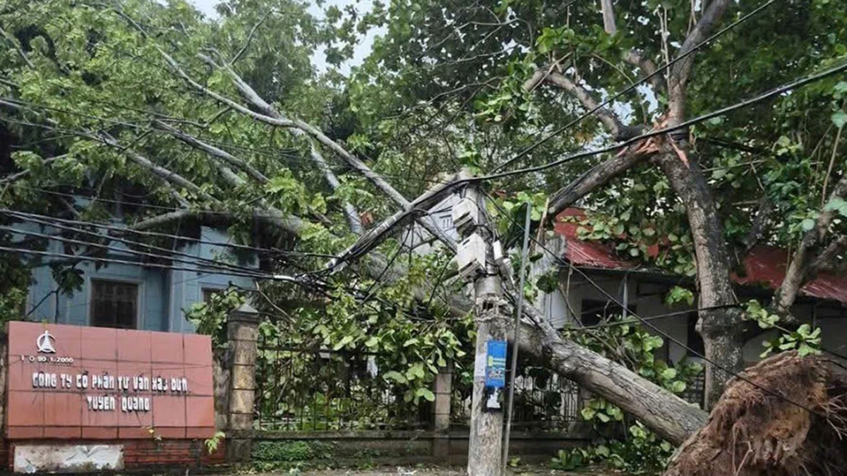
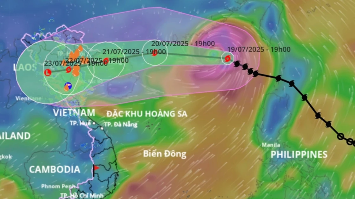
Storm No. 3 is forecast to cause widespread heavy rain in the North and Thanh Hoa - Ha Tinh provinces; in which, in the midlands and the Northern Delta, Thanh Hoa, Nghe An, the rain time is from July 21 - 24. Some places will have localized heavy rain with rainfall of over 150mm/3 hours.
From around July 20-21, the special zones of Bach Long Vi, Co To, Cat Hai... are likely to be heavily affected by strong winds and heavy rains caused by storm No. 3. Around early morning and on July 22, the storm will impact the mainland of our country. The coastal waters from Quang Ninh - Thanh Hoa will begin to be directly affected by strong winds, heavy rains and rising waters with strong winds of level 7-9, waves of 3-5m high. Large waves combined with high tides can cause flooding in low-lying areas along the coast of Quang Ninh - Hai Phong (from noon and afternoon on July 21-23).
Source: https://cand.com.vn/Xa-hoi/mua-dong-chieu-nay-o-cac-tinh-mien-bac-khong-phai-do-bao-so-3-i775309/


Comment (0)