
 |
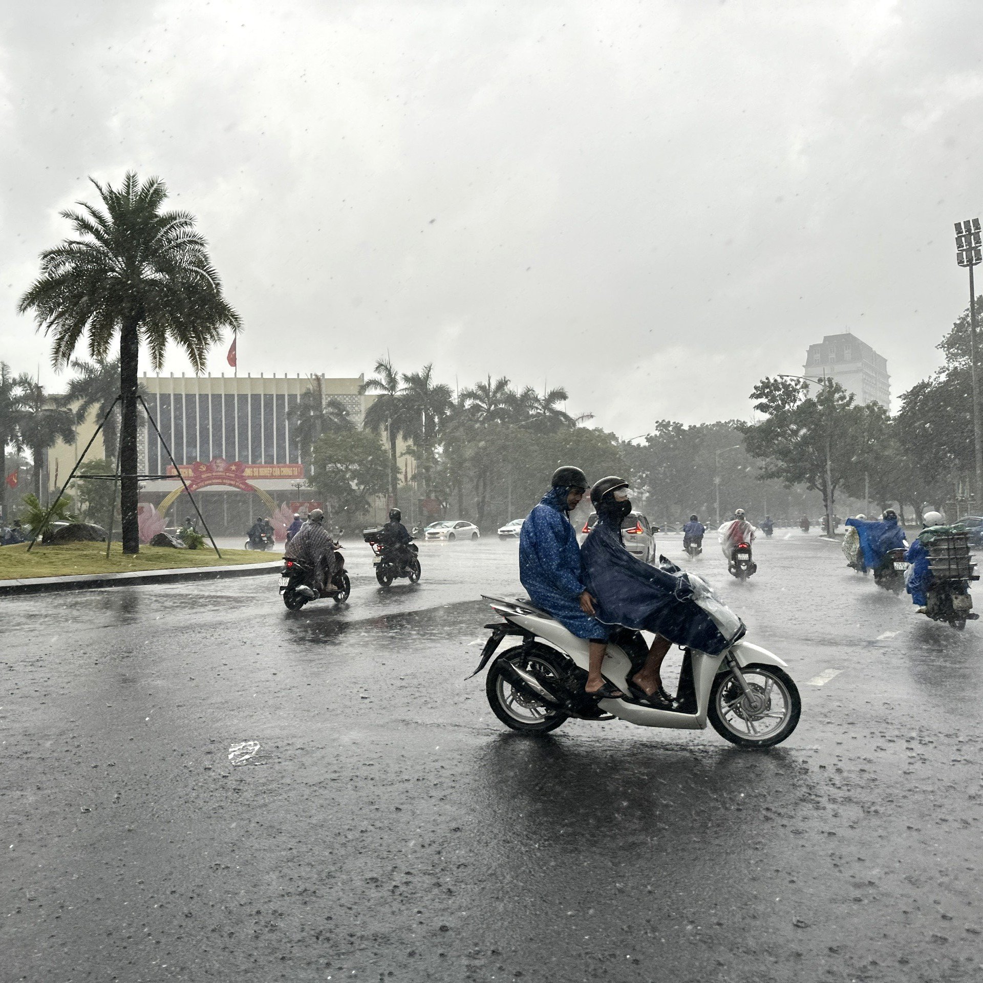
| From July 21-24, thunderstorms appeared, ending the heat wave in Hue City. |
On land, from July 21 to 24, due to the influence of the tropical convergence zone with an axis through the North connecting with storm No. 3, the hot weather will end, thunderstorms will appear sporadically in the late afternoon and night, with the possibility of tornadoes, lightning, and local heavy rain, especially in the midlands and mountainous areas.
People and localities in Hue City need to be on guard against flash floods, landslides, and mudslides in mountainous areas and along small rivers and streams, localized urban flooding due to the impact of heavy rain in a short period of time, and be on guard against thunderstorms that can cause damage to people and property.
According to Hue City's Hydrometeorological Station, storm WIPHA has entered the East Sea and become the third storm in 2025. At 7:00 a.m., the center of the storm was at about 20.0 degrees North latitude; 119.8 degrees East longitude, in the northeastern sea area of the North East Sea.
The strongest wind near the storm center is level 9 (75-88km/h), gusting to level 12; moving northwest at a speed of about 20km/h. Early Monday morning (July 21), storm No. 3 will enter the Gulf of Tonkin, from the night of July 21 to July 22 it will affect the coastal mainland of the provinces from Quang Ninh to Thanh Hoa. From July 21 to 24, the provinces of the North, Thanh Hoa, Nghe An and Ha Tinh will have a period of heavy rain, very heavy rain.
Source: https://huengaynay.vn/kinh-te/nong-nghiep-nong-thon/ngay-21-7-mua-dong-xuat-hien-ket-thuc-dot-nang-nong-tren-dia-ban-tp-hue-155822.html


Comment (0)