

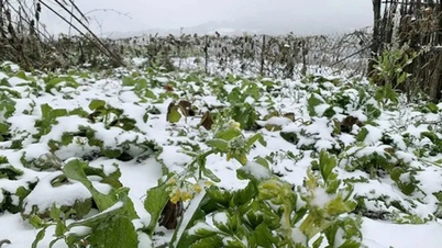
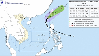
Mr. Nguyen Van Huong, Head of Weather Forecasting Department, National Center for Hydro-Meteorological Forecasting, informed that through monitoring and analyzing the current state of the weather system and forecast products, the National Center for Hydro-Meteorological Forecasting assessed that from around November 16, there is a possibility of a cold spell with strong intensity, affecting the North and Central regions, in which the North and provinces from Thanh Hoa to Ha Tinh will have cold weather; high mountainous areas in the North may have frost.
Due to the influence of strong cold air, the North East Sea area (including Hoang Sa special zone) has strong northeast wind at level 7, in some places level 8, gusting at level 9-10; waves 3-5 m high, rough seas; the Gulf of Tonkin has strong northeast wind at level 6-7, gusting at level 8-9, waves 2.5-3.5 m high, rough seas.
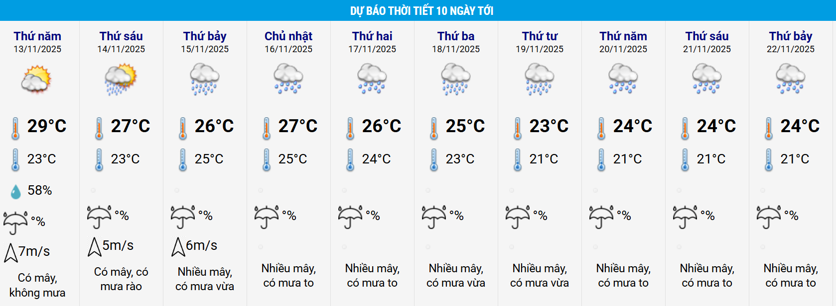
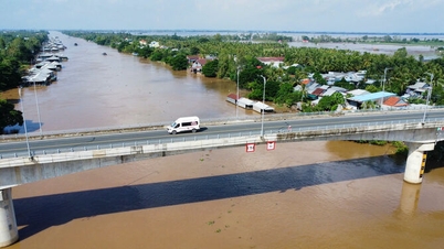
From the night of November 15, this strong cold air mass combined with high-altitude easterly wind disturbances will likely cause widespread heavy rain in the area from Quang Tri to Khanh Hoa , lasting for many days.
In particular, heavy to very heavy rain is concentrated in the area from Hue city to Da Nang city and the east of Quang Ngai and Gia Lai provinces.
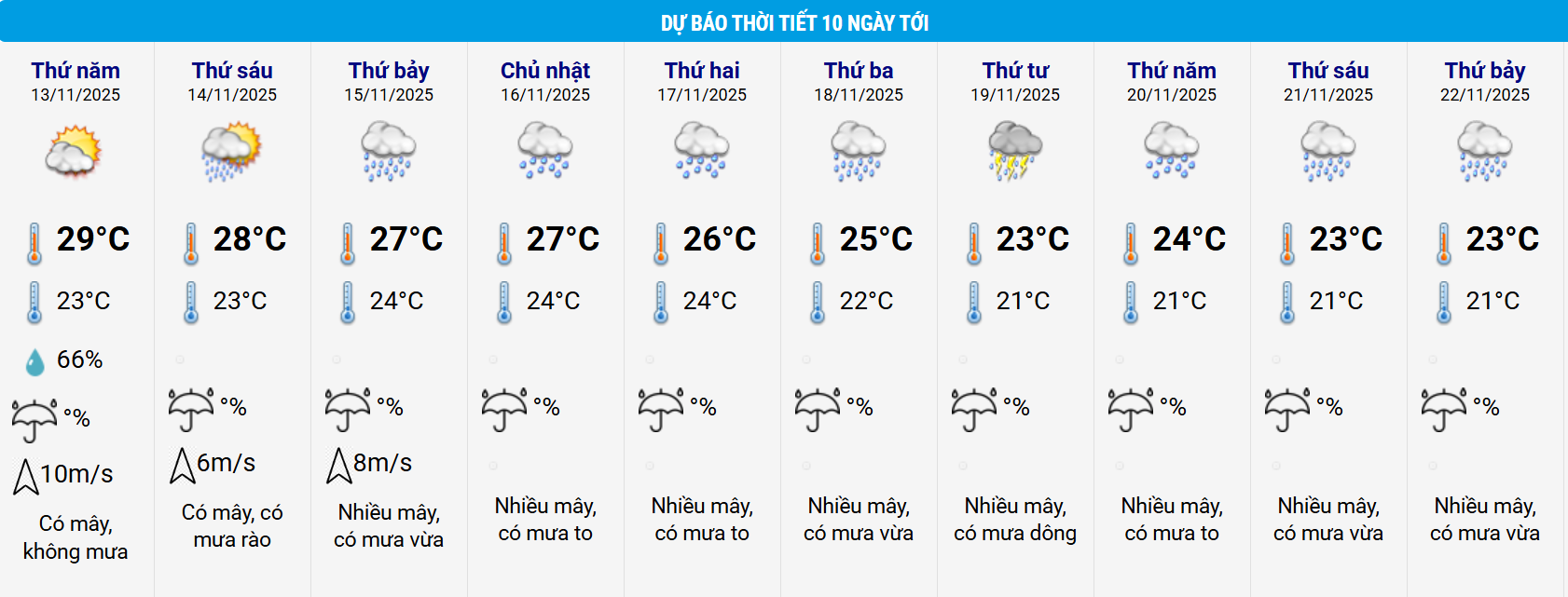
Dangerous weather and hydrological conditions are at high risk of occurring between November 16 and 22, 2025.
The National Center for Hydro-Meteorological Forecasting will continue to closely monitor and provide regular information based on the specific developments of each type of natural disaster.
Source: https://baodanang.vn/sap-mua-lon-tren-dien-rong-o-trung-bo-keo-dai-1-tuan-3309900.html
![[Photo] Prime Minister Pham Minh Chinh attends a conference to review one year of deploying forces to participate in protecting security and order at the grassroots level.](https://vphoto.vietnam.vn/thumb/1200x675/vietnam/resource/IMAGE/2025/11/12/1762957553775_dsc-2379-jpg.webp)


![[Photo] Highways passing through Dong Nai](https://vphoto.vietnam.vn/thumb/1200x675/vietnam/resource/IMAGE/2025/11/12/1762940149627_ndo_br_1-resize-5756-jpg.webp)


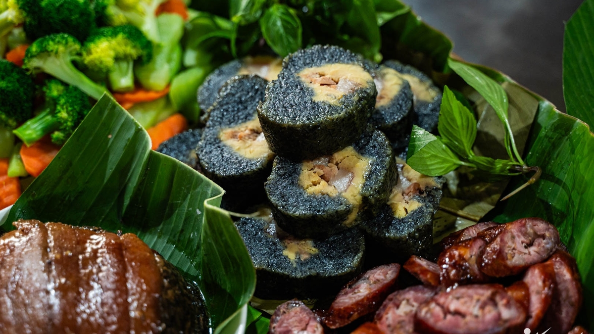


![Dong Nai OCOP transition: [Article 3] Linking tourism with OCOP product consumption](https://vphoto.vietnam.vn/thumb/402x226/vietnam/resource/IMAGE/2025/11/10/1762739199309_1324-2740-7_n-162543_981.jpeg)


Comment (0)