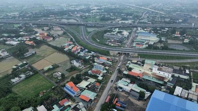
The recent high tide caused 5 national highways passing through the area to be partially flooded, including: National Highway 1 (the section passing through Binh Minh Bus Station was flooded 0.5 - 0.7m deep), National Highway 53, National Highway 54, National Highway 57 and National Highway 60. In addition, a series of provincial roads such as 901, 903, 904, 905, 907, 908, 909 and 910 also had many flooded spots, some places up to 0.8m deep.
In urban areas, severe flooding is concentrated in Long Chau, Thanh Duc, Phuoc Hau, Tan Hanh wards and on roads such as 30/4, Ba Thang Hai, Tran Phu, Nguyen Thi Ut, To Thi Huynh, Tran Van On and Hung Dao Vuong, seriously affecting traffic, especially during rush hour.
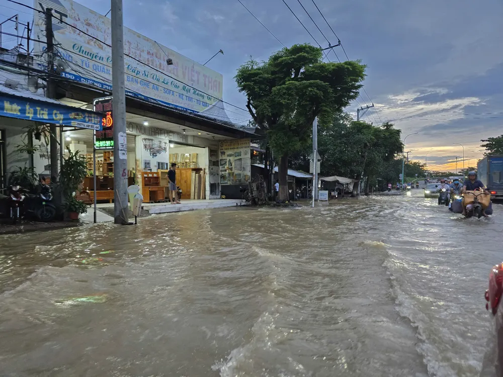
According to Mr. Phuc, the main reason is the basin-shaped terrain, low elevation, many areas do not have dykes or the dykes are not closed. In particular, the high tide level this year peaked at 2.26m - the highest level ever, 9cm higher than the record in 2022. Some routes also lost the tide valve cover, causing river water to overflow into the drainage system.
In response, the Department of Construction has directed the preparation of a list and proposed the Provincial People's Committee to allocate capital in 2026 for projects to upgrade, repair and prevent flooding - prioritizing deeply flooded areas. At the same time, it recommended the Ministry of Construction to urgently support more than 7.8 billion VND to repair damaged areas on National Highways 53, 53B and 54; coordinate with Road Management Area 4 to accelerate investment in upgrading National Highways 1 and 53 to prevent flooding sustainably.
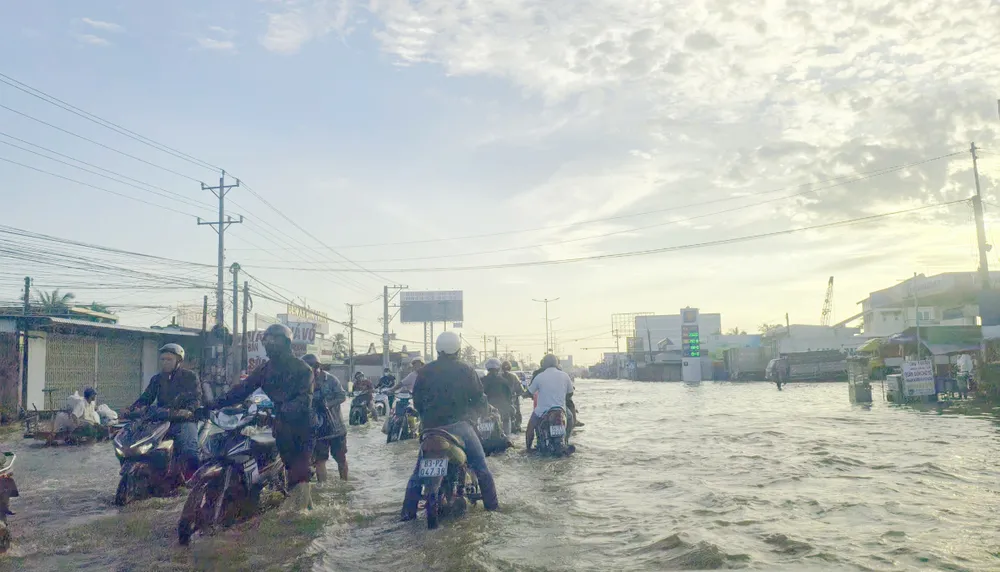
In urban areas, the province assigned the Traffic Project Management Board to study and invest in upgrading the following routes: 30/4, 3/2, Nguyen Thi Minh Khai, Le Thai To and Tran Phu - ensuring synchronization of flood prevention elevation with Trung Nu Vuong street. At the same time, existing embankment and dyke projects are being accelerated, while research is being done to invest in new routes in frequently affected areas.
The focus is on completing the embankment and dyke system in the old Vinh Long city area such as: Long Ho river embankment (from Lau bridge to Nga Tu bridge) and Co Chien river embankment (from Thanh Duc ward to Dinh Khao ferry).
The solutions are expected to help Vinh Long proactively respond to increasingly extreme high tides, minimize flooding, protect people's lives and ensure traffic safety.
Source: https://www.sggp.org.vn/vinh-long-de-xuat-nhieu-giai-phap-chong-ngap-do-trieu-cuong-post823481.html


![[Photo] Special class in Tra Linh](https://vphoto.vietnam.vn/thumb/1200x675/vietnam/resource/IMAGE/2025/11/14/1763078485441_ndo_br_lop-hoc-7-jpg.webp)
![[Photo] Unique art of painting Tuong masks](https://vphoto.vietnam.vn/thumb/1200x675/vietnam/resource/IMAGE/2025/11/14/1763094089301_ndo_br_1-jpg.webp)

![[Photo] Unique architecture of the deepest metro station in France](https://vphoto.vietnam.vn/thumb/1200x675/vietnam/resource/IMAGE/2025/11/14/1763107592365_ga-sau-nhat-nuoc-phap-duy-1-6403-jpg.webp)















Comment (0)