(Dân trí) – Cầu Vĩnh Thịnh đang giữ kỷ lục là cầu vượt sông dài nhất của đất nước. Cây cầu là kết quả của sự hợp tác giữa Việt Nam và Hàn Quốc, hoạt động đến nay đã tròn 10 năm.
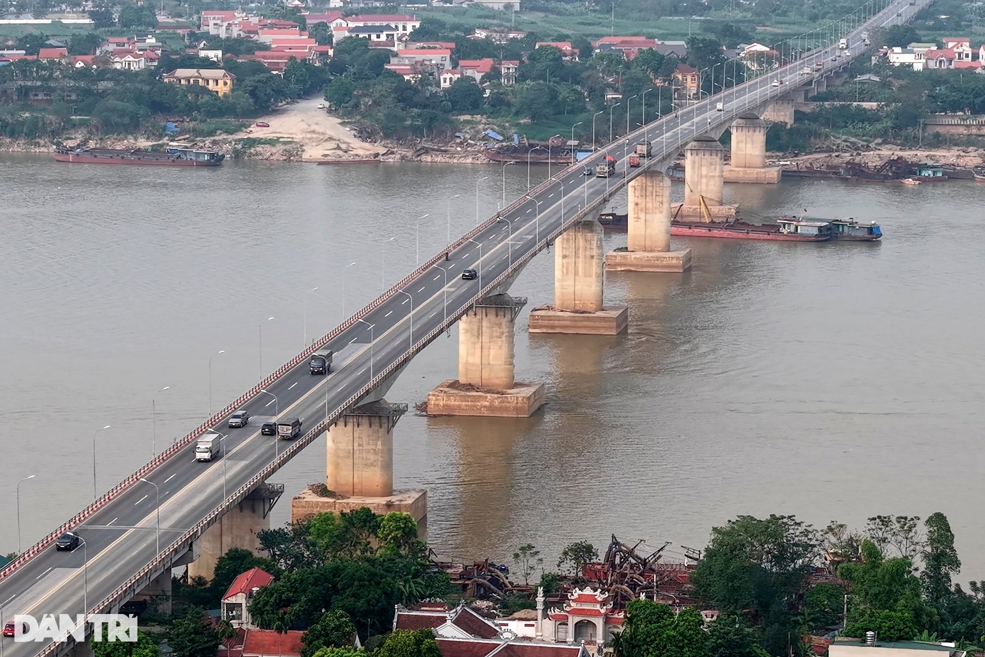
Đây là cầu vượt sông có chiều dài lớn nhất Việt Nam từ trước đến nay. Được thiết kế vĩnh cửu bằng bê tông cốt thép và bê tông cốt thép dự ứng lực. Chiều dài tổng thể là 5.487m, trong đó cầu dài 4.480m và đường hai đầu cầu dài 1.007m.
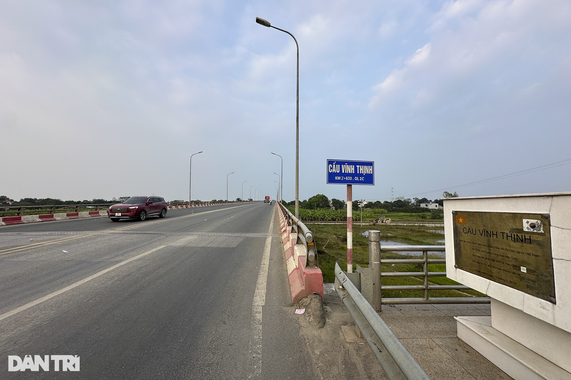
Cầu Vĩnh Thịnh bắc qua sông Hồng trên Quốc lộ 2C, nối thị xã Sơn Tây (Hà Nội) với huyện Vĩnh Tường (Vĩnh Phúc), thuộc tuyến đường vành đai 5 thành phố Hà Nội, kết nối các tỉnh phía Bắc với Thủ đô Hà Nội.
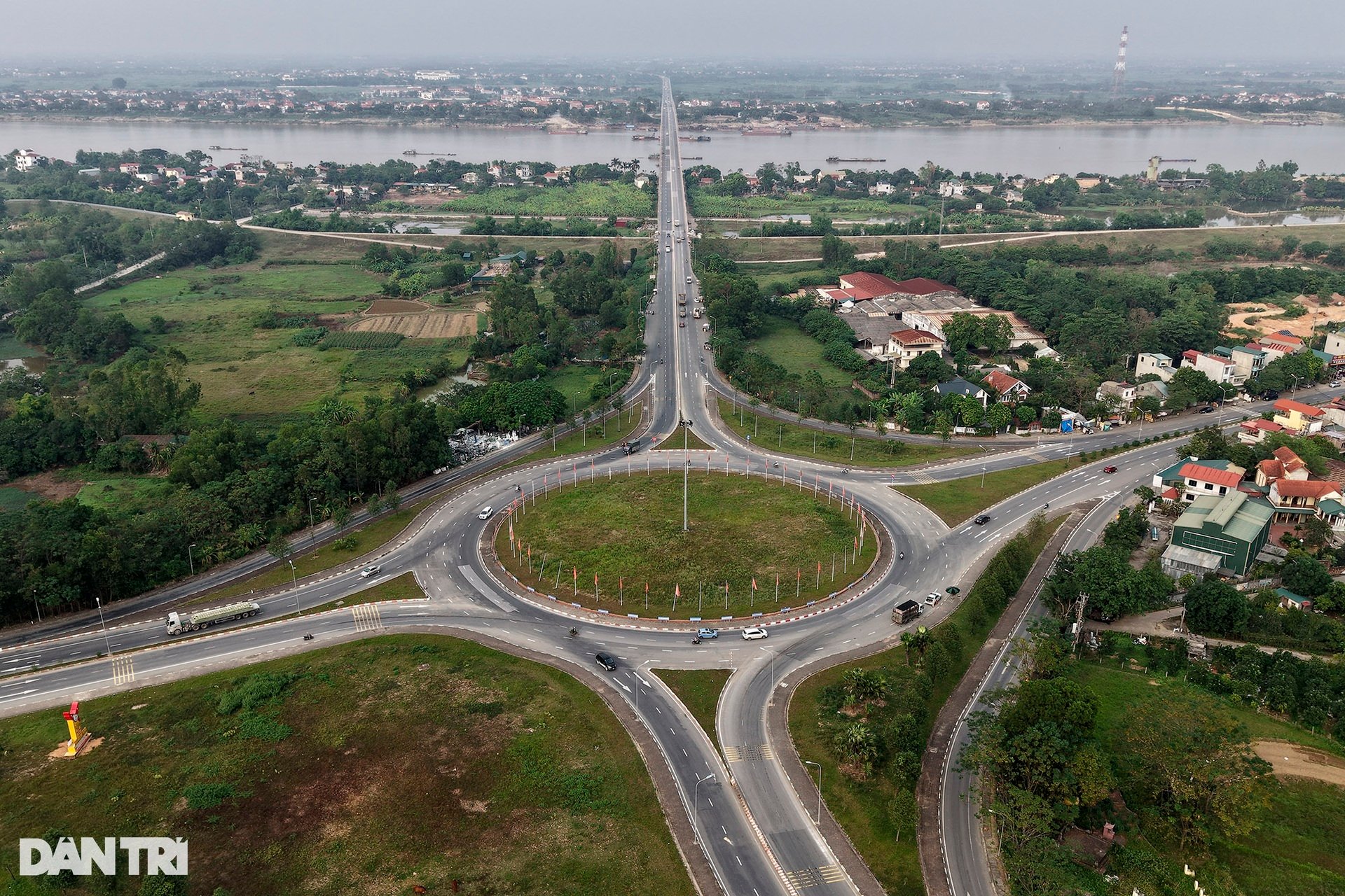
Có tổng mức đầu tư 137 triệu USD, trong đó 100 triệu USD từ nguồn vốn vay ODA của Chính phủ Hàn Quốc, còn lại là vốn đối ứng của Chính phủ Việt Nam. Trong ảnh là điểm đầu tại nút giao cầu Vĩnh Thịnh, nơi kết nối QL32 – QL2C – QL21A.
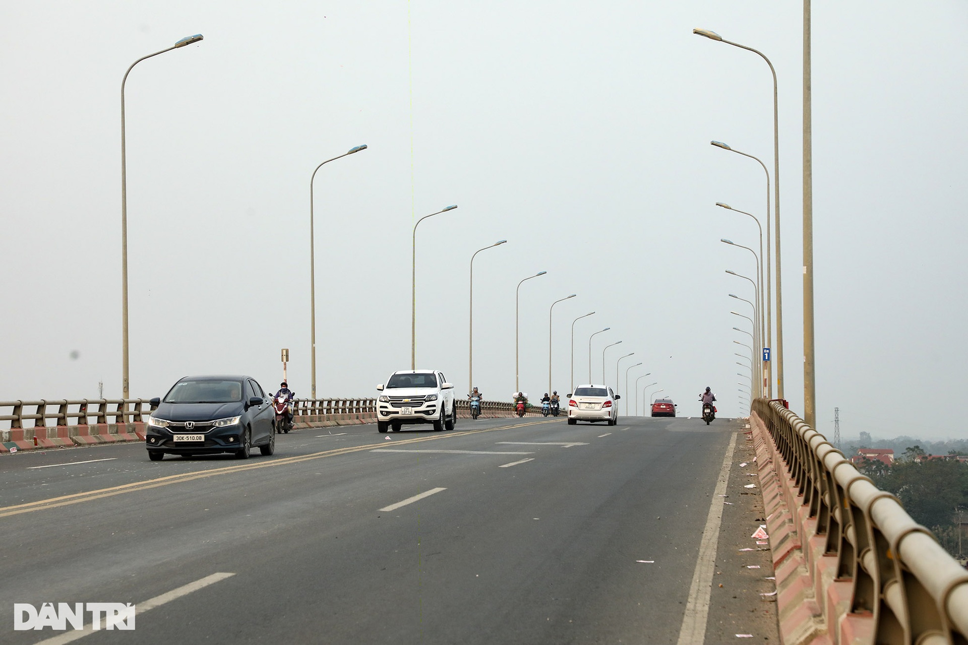
Cầu được thông xe vào tháng 6/2014, quy mô 4 làn xe, rộng 16,5m, tốc độ thiết kế 80km/h. Cây cầu được xây dựng trong quy hoạch phát triển giao thông vận tải Thủ đô và quy hoạch chung vùng Thủ đô đến năm 2020 và tầm nhìn đến năm 2030.
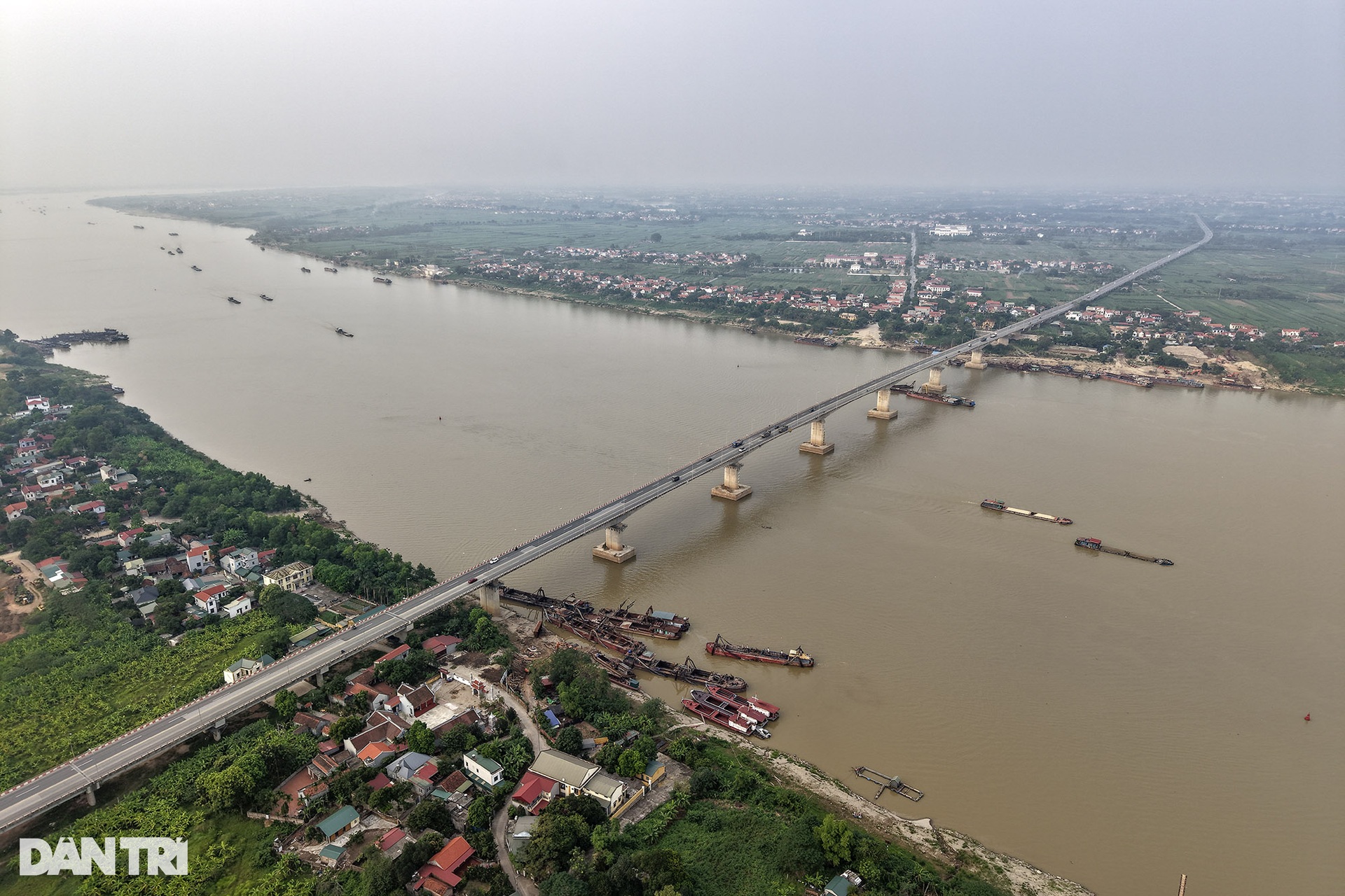
Là cầu dài nhất qua sông Hồng, song lòng sông ở vị trí này không phải là rộng nhất. Đây là nơi có mật độ giao thông đường thủy đông đúc, trước đây có phà Vĩnh Thịnh đã tồn tại qua nhiều thập kỷ, nay đã ngừng hoạt động.
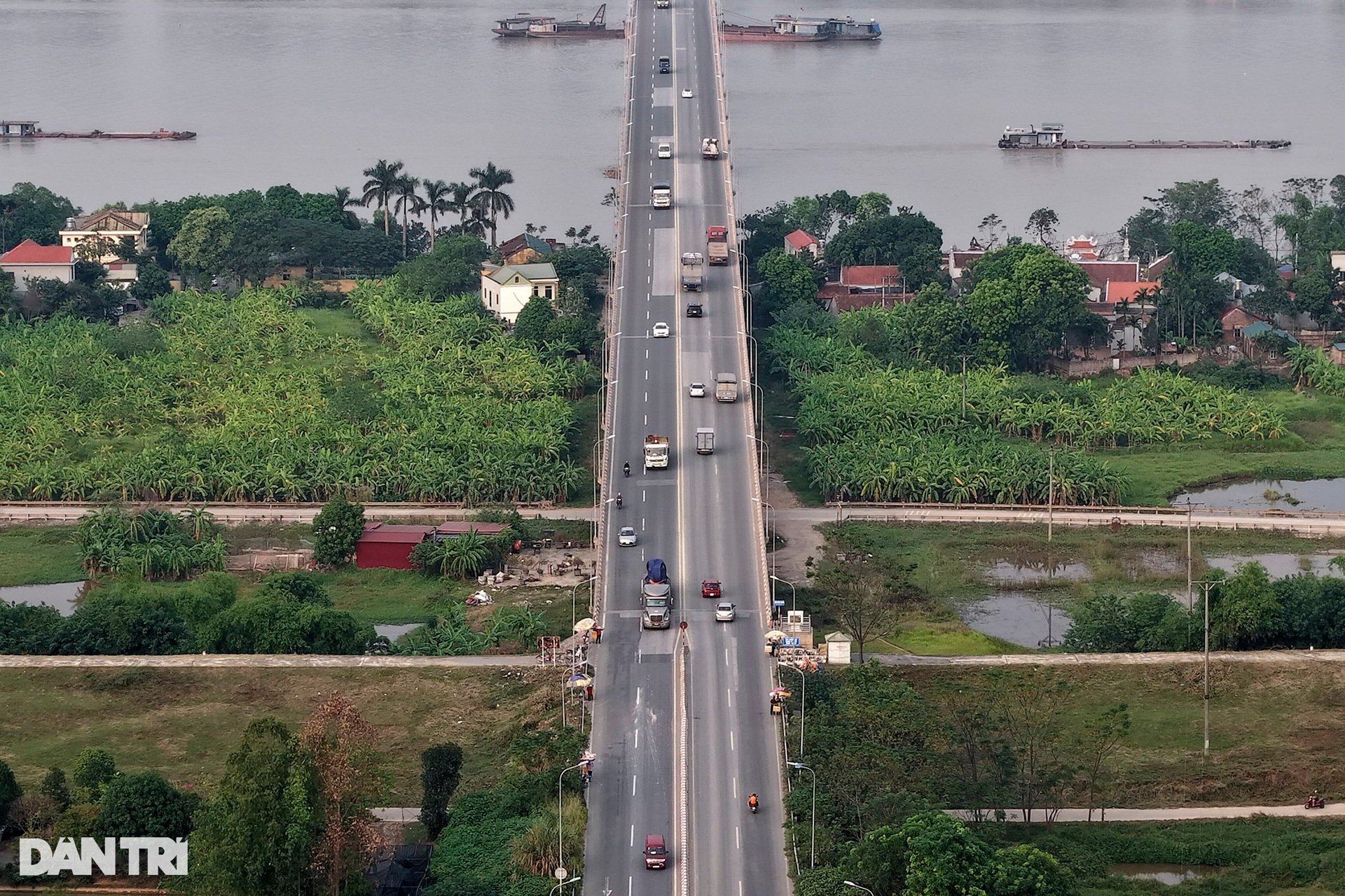
Đến nay, cầu Vĩnh Thịnh đi vào hoạt động tròn 10 năm, việc đưa cầu vào khai thác góp phần giảm áp lực giao thông cho các QL2, QL3, QL6, QL32 khi lưu thông qua trung tâm thành phố Hà Nội đi các tỉnh phía Nam và ngược lại.
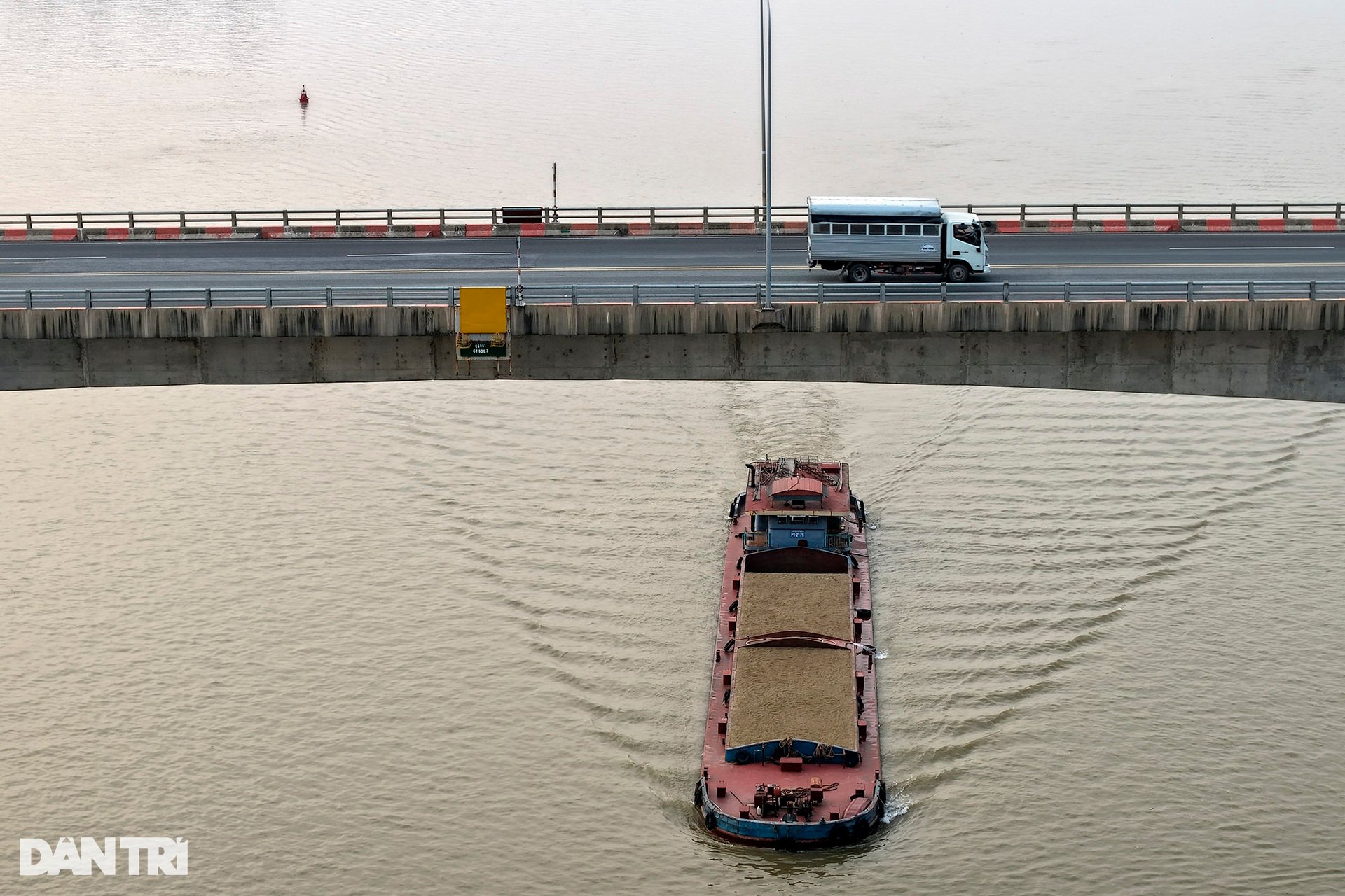
Phần lớn tàu thuyền qua lại đoạn sông này là tàu chở cát, được khai thác từ các mỏ cát trên sông Hồng.
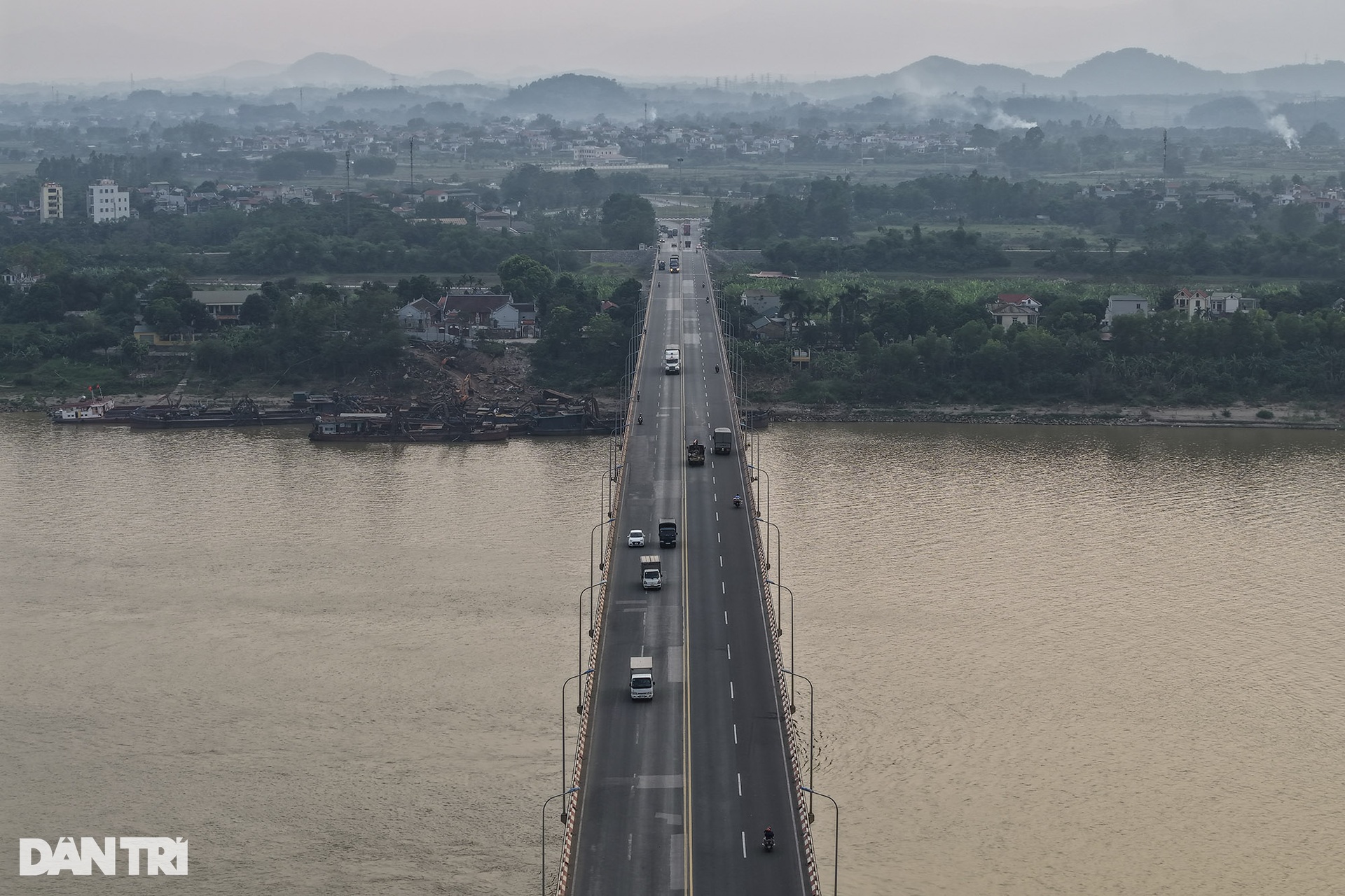
Từ cầu Vĩnh Thịnh nhìn về bờ hữu sông Hồng, thuộc địa phận Hà Nội.
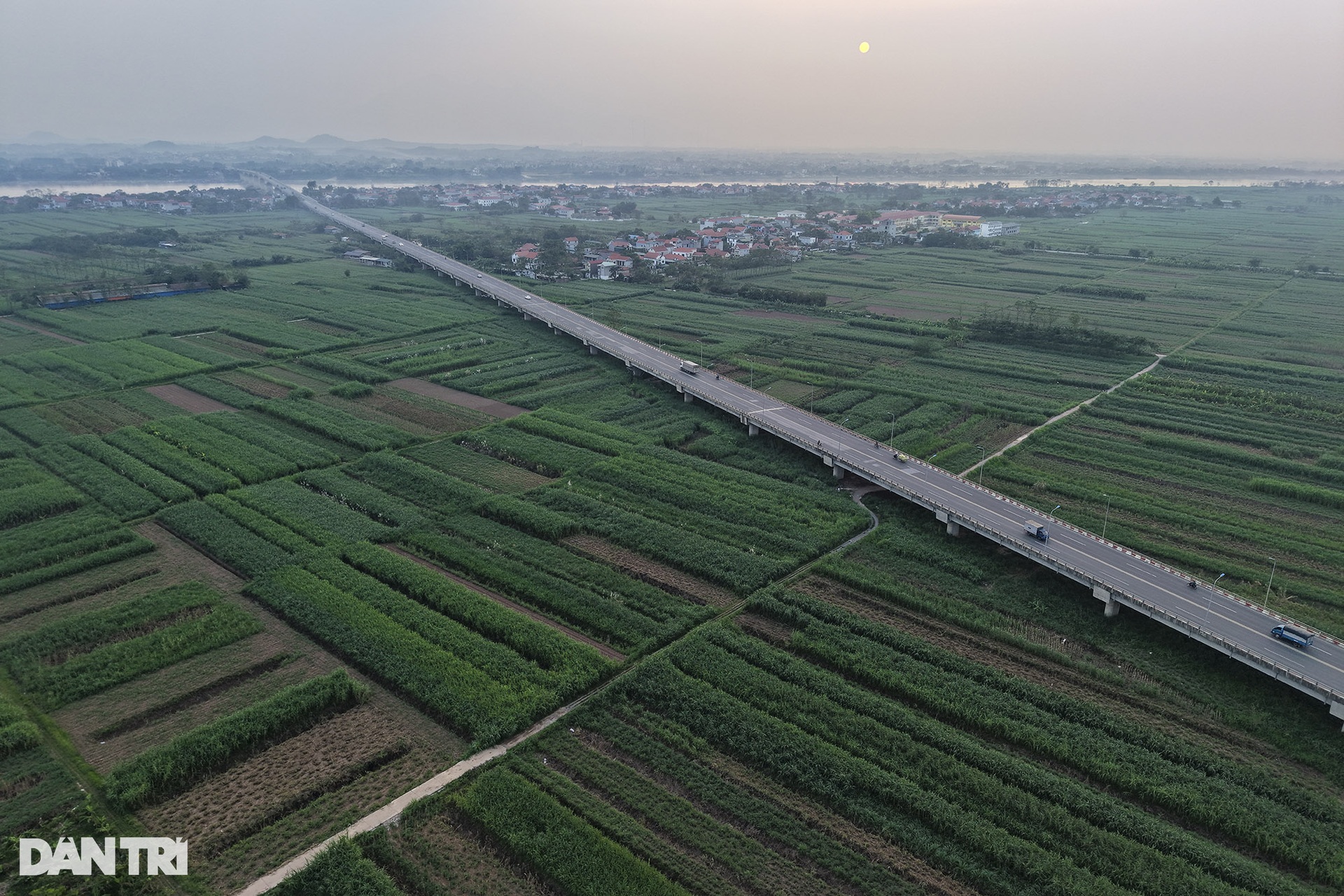
Vào mùa nước cạn, bãi bồi sông Hồng là cả một vùng canh tác hoa màu, cây ăn quả xanh mướt mát. Nếu tính từ đê tả sông Hồng đến sát mép nước, bãi bồi có chiều dài lên đến gần 3,5km.
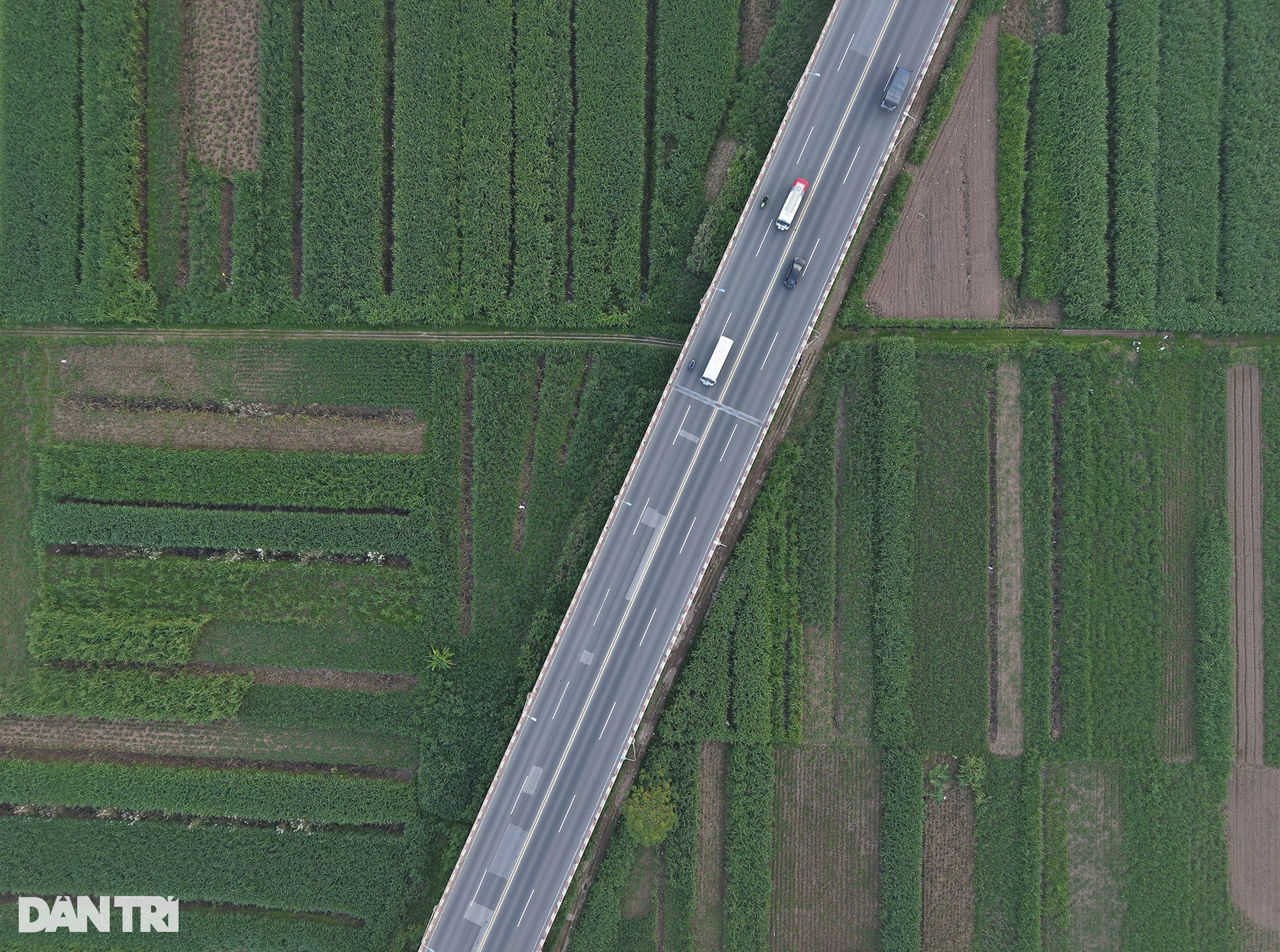
Đoạn cầu chạy qua vùng hoa màu thuộc xã Vĩnh Thịnh (Vĩnh Tường, Vĩnh Phúc).
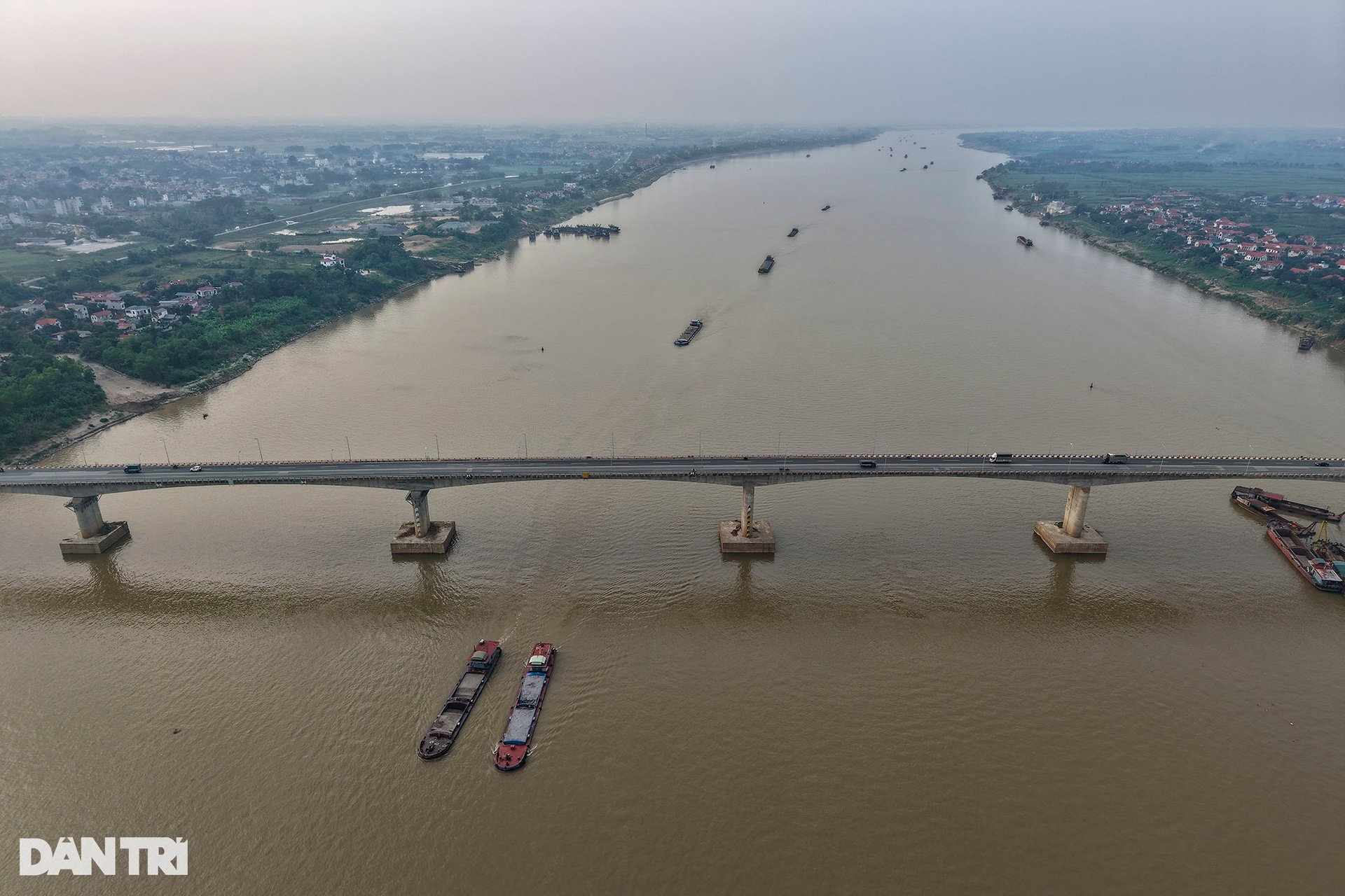
Cầu Vĩnh Thịnh đi qua phần mặt nước sông Hồng ở thời điểm hiện tại chỉ khoảng chưa đầy 1km, còn lại là phần vượt cạn. Điểm cầu thuộc bờ tả sông Hồng được tính tại vòng xuyến Vĩnh Thịnh.
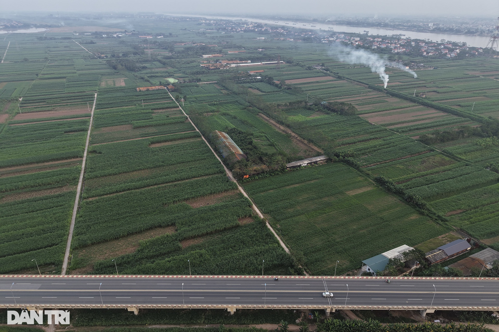
Trong khi phần bãi bồi bên tả sông Hồng cực rộng thì ở phía hữu, bãi sông tính từ mặt đê ra mép nước chỉ 300-400m. Ảnh chụp bãi sông thuộc bờ tả là vùng đất canh tác màu mỡ của người dân Vĩnh Thịnh.
Dantri.com.vn
Nguồn:https://dantri.com.vn/xa-hoi/cau-vinh-thinh-dai-nhat-viet-nam-tren-dia-phan-ha-noi-20241109082426366.htm







![[Ảnh] Cộng đồng quốc tế chúc mừng Việt Nam có thêm danh thắng được công nhận là Di sản văn hóa thế giới](https://vphoto.vietnam.vn/thumb/402x226/vietnam/resource/IMAGE/2025/7/13/58ec71f73ae644bfb5bab9c99043bb7d)









































Bình luận (0)