

Harvesting rice in the fields of Xóm Ruộng, Trí Bình.
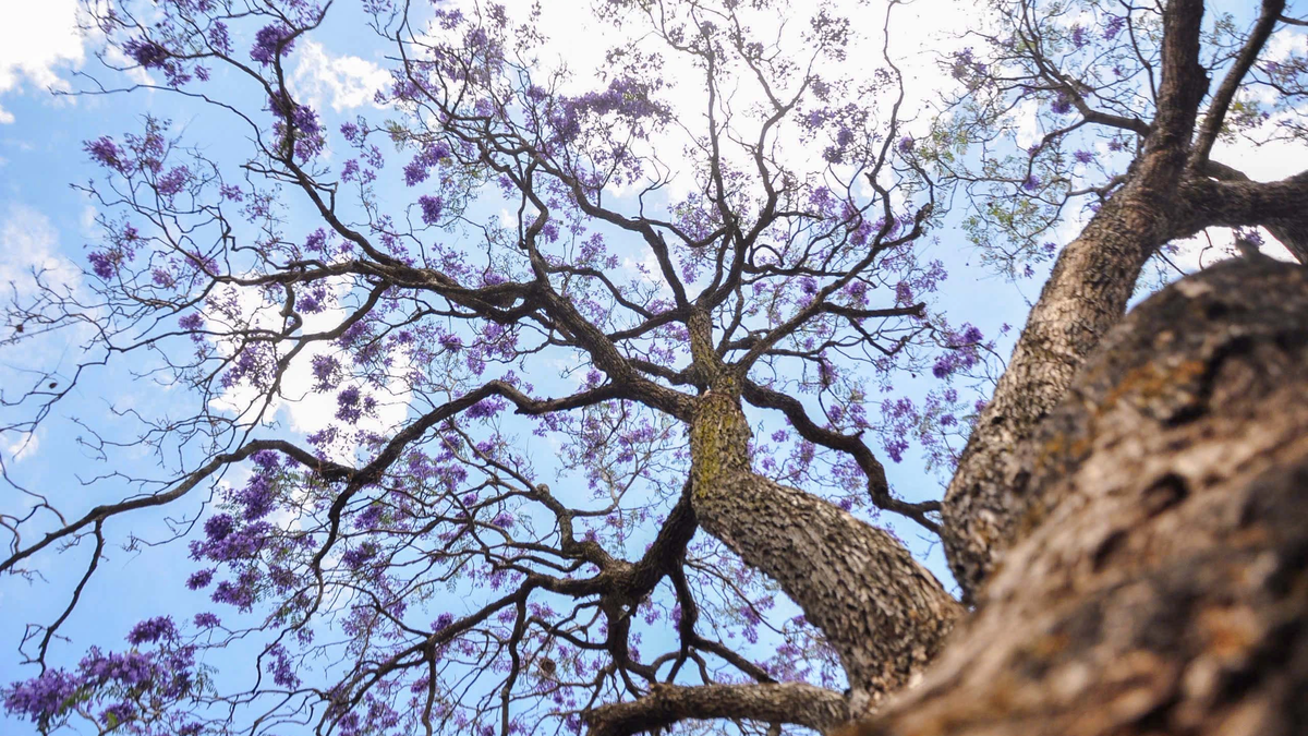
Rice fields are a sight everyone has seen, especially along the old inter-provincial road 13, now DT781, stretching from Ben Soi Bridge through Xom Ruong to Chau Thanh town. Except for the last few months of the year when the fields are flooded, the air is filled with the fragrant scent of rice at any other time of year. And the color of the fields, sometimes a vibrant green, other times a boundless golden hue, symbolizes abundance and prosperity.
And what about the "floating" sensation? You'll experience this feeling as soon as you stand on the Ben Soi Bridge. The Vam Co Dong River has two periods of opposing currents. In the morning, the tide is usually high, flowing upstream. In the afternoon, the water flows downstream, also known as low tide. Therefore, standing on the bridge across the river feels like standing on the deck of a ship cutting through the water, with a floating sensation beneath your feet. Looking down from above can sometimes be dizzying.
Regardless of what is said, the section of the Vam Co Dong River passing through Ben Soi - Tam Long certainly has special characteristics. Therefore, this area became the center of Hoa Ninh district, which existed since the reign of Emperor Minh Mang. Nguyen Dinh Tu's book, *Dictionary of Administrative Place Names of Southern Vietnam* (National Political Publishing House, 2008), states: “The district belonged to Tan Ninh district, Tay Ninh prefecture, Gia Dinh province from the 17th year of Minh Mang's reign… From 1930 it belonged to Thai Binh district. From 1942 it was transferred to Chau Thanh district. On April 10, 1943, Long Thanh was separated and transferred to Ham Ninh Thuong district, also within the same district.”
On May 24, 1955, Ninh Dien village, separated from Giai Hoa commune, was merged with it…”. So, from 1955 to the present, the former Hoa Ninh commune has essentially remained the main part of present-day Chau Thanh district. On the right bank of the river are Hoa Hoi and Thanh Long (formerly belonging to Ninh Dien).
On the left bank is Tri Binh commune. This commune also has its own historical twists and turns. It was once a village established right from the time the district was founded under Tay Ninh province (1836). However, during the French colonial period, in 1891 it was dissolved (along with Manh Hoa, it was merged into Hao Duoc).
It wasn't until January 1, 1919, that the village was re-separated, returning to its original status as Tri Binh commune, stretching along the banks of the Vam Co Dong River. Perhaps it was because of this winding path that the village officials, immediately after reclaiming the land and the village name, erected the Tri Binh communal house as a declaration that their village now had its own guardian spirit, its own river god!
In fact, migrants who pioneered and developed villages in Tay Ninh arrived very early, long before 1836, the year the administrative units were established. This was especially true in the villages belonging to Hoa Ninh district and particularly in the villages along the Vam Co Dong river.
Evidence for this can be found in the historical accounts of Lord Huynh Cong Gian of Tra Vong, which record that he and his younger brother, Huynh Cong Nghe, arrived in Tay Ninh in 1749, when Huynh Cong Gian was 27 years old (he was born in 1722). His biography states: "Upon arriving in Tra Vong, later part of Thai Binh commune, he established three hamlets: Tan Lap, Tan Hoi, and Tan Hiep…".
As for the Nguyen lords, during their expansion and rule of the southern lands, they also paid great attention to the Quang Hoa forest region, which belonged to the Quang Phong district established in 1779. The Quang Phong district is the area of present-day Tay Ninh, with its headquarters located in Cam Giang village.
Here, the Minh Mạng dynasty built a fortress in the 5th year of Minh Mạng's reign (1824) and named it Quang Hoá Fortress. Therefore, people sometimes also call Quang Phong district by the name of the district, Quang Hoá, and the river flowing in front of the fortress is called Quang Hoá River (Vam Co Dong today), according to the book Dai Nam Nhat Thong Chi (National History Institute of the Nguyen Dynasty).
Regarding the Nguyen dynasty's interest in the Quang Hoa forest, Trinh Hoai Duc described it in his book Gia Dinh Thanh Thong Chi: "In the west of Quang Hoa district, there are undulating hills and continuous forests, with tall trees reaching to the sky, dense for hundreds of miles. Sawmillers and carpenters set up camps to cut wood or collect resin, resin from the Trám tree, rattan, and water rattan, as well as hunt wild animals; the benefits are very extensive."
This book, presented to Emperor Minh Mạng in 1820 by the official Trịnh Hoài Đức, describes a bustling scene of logging in the Quang Hoá forest, which, according to the author's descriptions, stretched for "hundreds of miles," mainly along the right bank of the Vàm Cỏ Đông River.
In his book "Tay Ninh Along the River of Southern History," author Duong Cong Duc dedicates section 1 of chapter 5 to compiling events related to the exploitation of Quang Hoa forests by the Nguyen lords and kings. According to this section: "From the early years when the Nguyen lords first fled to the South, knowing that Quang Hoa was rich in valuable timber for shipbuilding, the lord ordered his officials and troops to establish a base for exploitation."
The book Dai Nam Thuc Luc Tien Bien records: "In 1778, Commander Tran Van Phuc was sent to Tan Chau district, and Nguyen Duc Huy to Quang Hoa district to build warships for seafaring...". This work was probably very important to Lord Nguyen Anh, so he once "sent Do Thanh Nhon, who at that time was appointed as Deputy Commander-in-Chief, with the title of Phuong Quan Cong, to lead troops to Tay Ninh to continue expanding the exploitation of teak wood and building warships...".
Where were the ships built? The book doesn't specify. But perhaps the best option was to establish shipyards right along the riverbank. At this point, we also need to consider a hypothesis: Was the place name Ben Truong a "military training ground" in the old sense? Or was it a shipyard belonging to the Nguyen lords?
Duong Cong Duc also recorded a very noteworthy detail. This is a passage from the Dai Nam Thuc Luc Tien Bien (Early Chronicle of Dai Nam): “In August 1800, Gia Dinh enjoyed a peaceful harvest. Crown Prince Canh submitted a petition saying: ‘Since it is now a leisurely season, I request that 10,000 laborers and plantation workers be conscripted, with three-tenths of them entrusted to the Ministry of Public Works, Tran Van Thai, to take to Quang Hoa to obtain timber and planks to build 50 more warships for the army.’ The King agreed…”
The number of people mobilized was enormous, compared to the population at the time (at the beginning of the 19th century, the population of Southern Vietnam from Binh Thuan to Ca Mau was less than 1 million people - Duong Cong Duc, op. cit.). There is also the detail: “Whenever boats were built, the carpentry team was usually sent to find and deliver the wood, which was very difficult for people going up and down the streams. The King ordered that buffaloes be used instead, allocating 3,000 quan to buy 300 buffaloes to pull (the wood). The people praised it as convenient…”
Now, on the right bank of the river, from Tam Long through Ben Soi to Thanh Dien, there are still place names like Rong Trau (Buffalo Empty) and Rong Tuong (Elephant Empty) – the old paths where buffalo and elephants used to travel, now sunken into canals and ditches, where the water rises and falls gently. And also, the stories of the ferryman, about his 6 hectares of rice fields on the banks of Xom Ruong, yielded over 7 tons per hectare this winter-spring season.
Tran Vu
Source link


![[Photo] Prime Minister Pham Minh Chinh receives the Director of RMIT University Melbourne (Australia)](https://vphoto.vietnam.vn/thumb/1200x675/vietnam/resource/IMAGE/2026/04/02/1775142120087_thiet-ke-chua-co-ten-2026-04-02t214220784-png.webp)


Comment (0)