

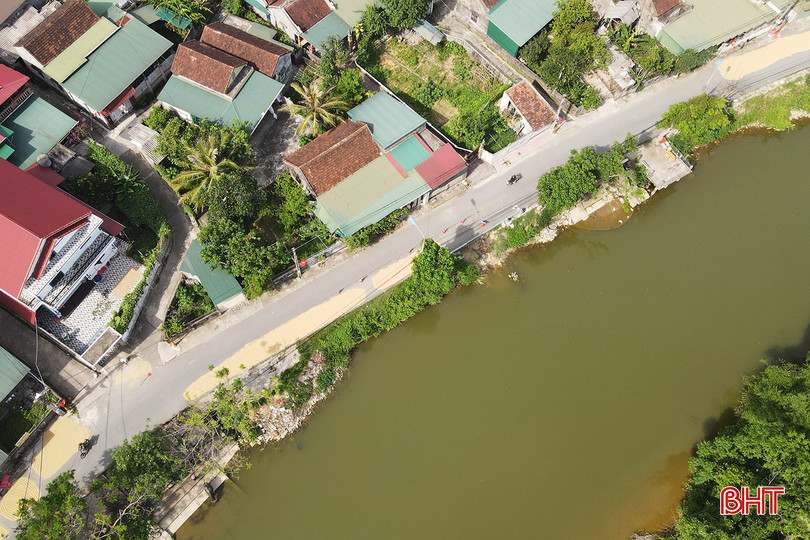
For many years, the Thong Nhat road section passing through Trung Hau and Trung Ly residential areas (Bac Hong Linh ward, Ha Tinh province ) along the Minh River has been continuously eroded and severely degraded. The heavy rain in early May further caused the riverbank slope in the Trung Hau residential area to collapse, posing a potential safety risk.
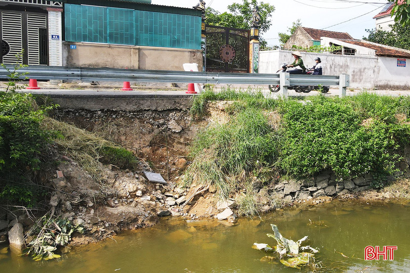
According to reports, the embankment on the Minh River bank has collapsed over a length of more than 5 meters and a height of approximately 2.2 meters. The Thong Nhat road also shows signs of subsidence, with the road surface sinking by 5-10 cm over a length of more than 30 meters. The landslide is located just over 5 meters from a residential area, threatening the safety of more than 20 households living along the Minh River.
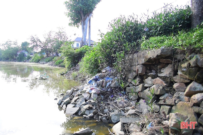
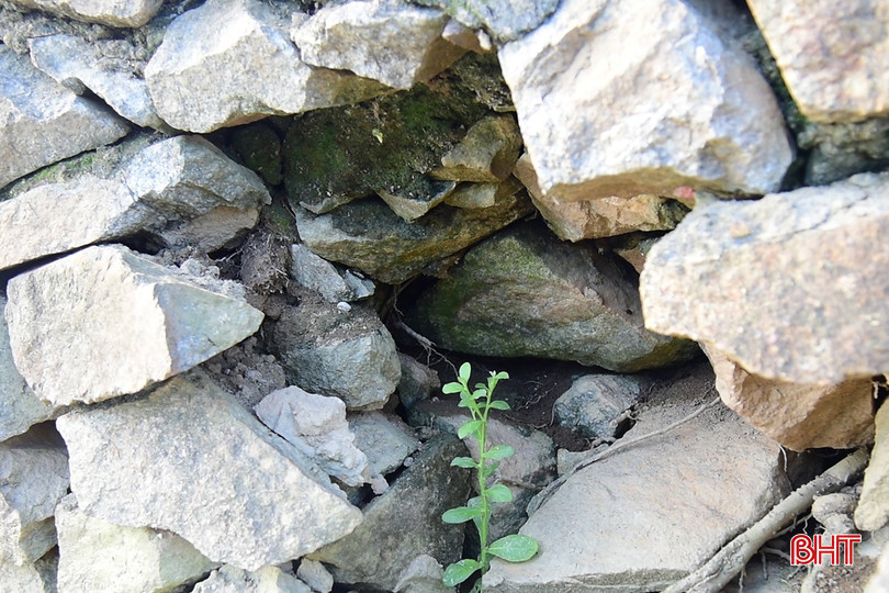
Mr. Nguyen Cong Lien, Head of Trung Hau Residential Group, Bac Hong Linh Ward, informed: “Thong Nhat Road is the main traffic route of Bac Hong Linh Ward and Duc Quang Commune, with a large volume of people and vehicles passing through. Meanwhile, cargo transport activities on the Minh River create waves, impacting the banks, increasing the risk of landslides and traffic safety hazards, affecting the lives and psychology of people living along the river.”


Sharing the same concerns, Mr. Nguyen Ngoc Thach, a resident of Trung Ly hamlet, Bac Hong Linh ward, said: “The Thong Nhat road section passing through Trung Hau and Trung Ly hamlets has been damaged and degraded for many years. After the recent heavy rain, the landslide became even more serious, encroaching deeply into the road surface. Residents have repeatedly requested repairs, but so far nothing has been done. The road is in a state of disrepair, and danger is always lurking, so the people are hoping that the authorities will soon have a plan to address the problem.”
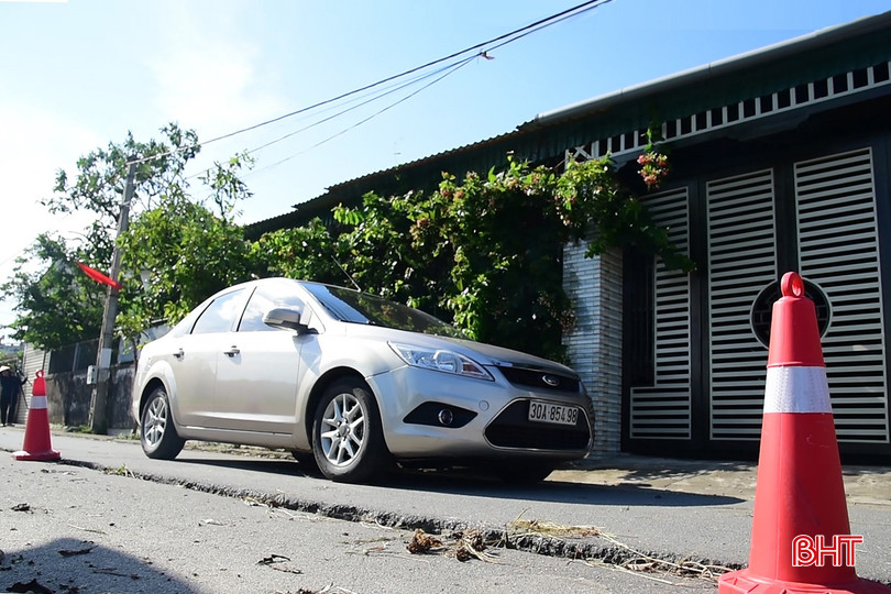
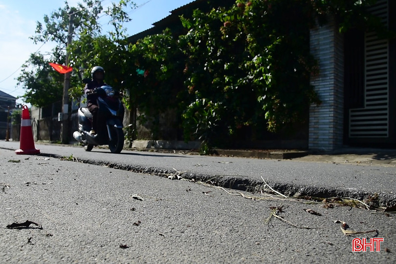
To ensure the safety of people and vehicles traveling on Thong Nhat road, the People's Committee of Bac Hong Linh ward has temporarily barricaded the landslide area, installed warning signs, and directed traffic diversion.
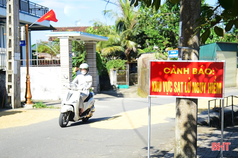
Mr. Nguyen Viet Khanh, Head of the Economic , Infrastructure and Urban Planning Department of Bac Hong Linh Ward People's Committee, said: "The Thong Nhat road section passing through Trung Hau and Trung Ly residential areas is predicted to have a risk of further subsidence and landslides during the rainy season, affecting the houses of nearby households as well as road and waterway traffic in the area."
The People's Committee of the ward has conducted a survey, prepared a cost estimate, and requested the Provincial People's Committee to direct relevant departments and agencies to inspect and consider supporting investment in the Minh River embankment erosion control project. The construction of a 500-meter-long embankment to prevent erosion is extremely urgent, especially with the 2026 rainy season approaching."
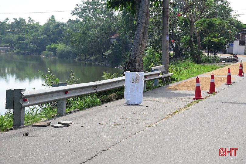
Given the risk of continued and complex landslides, local authorities and residents hope that the province and relevant agencies will soon pay attention to investing in projects to address landslides along the Minh River, protect the Thong Nhat road, and ensure long-term safety for the riverside residential area.
Source: https://baohatinh.vn/nguoi-dan-mon-moi-cho-khac-phuc-duong-sat-lo-xuong-cap-post310684.html






























































































Comment (0)