
According to the National Center for Meteorological and Hydrological Forecasting, at noon on September 18, the tropical depression in the East Sea strengthened into a typhoon (typhoon number 8), with the international name Mitag.
At 13:00, the center of the storm was located at approximately 19.9 degrees North latitude and 118.4 degrees East longitude in the northeastern part of the South China Sea. The strongest winds near the center of the storm were at level 8 (62-74 km/h), with gusts up to level 10.
The meteorological agency said that in the next 24 hours, Typhoon No. 8 will move in a northwest direction and may strengthen to level 9.
By late afternoon on September 19th, the storm made landfall in Guangdong province (China), then weakened and dissipated, making it unlikely to directly affect Vietnam.
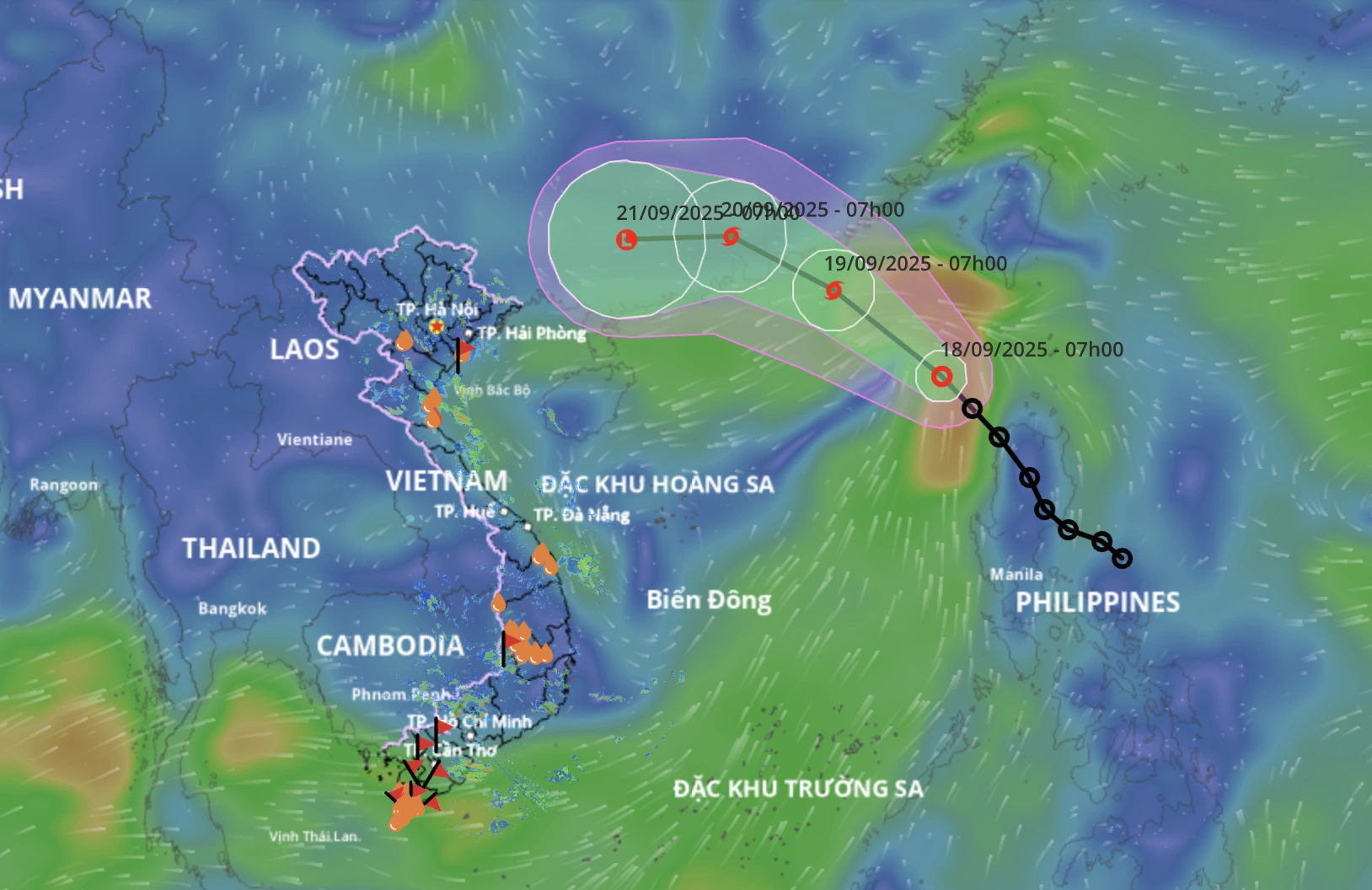
Forecast of the trajectory of Typhoon No. 8 (Image: Disaster monitoring system).
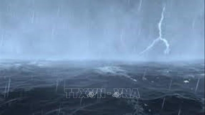
Due to the influence of the storm, the northeastern part of the North East Sea region is experiencing strong winds of force 6-7, gusting to force 9, with winds near the storm's center reaching force 8-9, gusting to force 11, and waves 3-5 meters high, resulting in very rough seas.
The sea area from Khanh Hoa to Ho Chi Minh City, and the western sea area of the central and southern South China Sea (including the western sea area of the Truong Sa special zone) will experience southwest winds of force 5, sometimes force 6, with gusts of force 7-8.
Additionally, on September 18th, both day and night, scattered showers and thunderstorms are expected in the eastern part of the North East Sea, the central and southern parts of the South East Sea (including the Truong Sa Special Economic Zone), the Gulf of Tonkin, the sea area from southern Quang Tri to Ca Mau, Ca Mau to An Giang , and the Gulf of Thailand; particularly in the northeastern part of the North East Sea, there will be storms.
During thunderstorms, there is a possibility of tornadoes, strong gusts of wind (level 6-7), and waves over 2 meters high.
The meteorological and hydrological agency warns that on September 19th, both day and night, the northern part of the North East Sea will experience strong winds of force 8-9, gusting to force 10-11, with waves 3-5 meters high and very rough seas.
Dantri.com.vn
Source: https://dantri.com.vn/thoi-su/bao-mitag-hinh-thanh-tren-bien-dong-20250918140733350.htm


Comment (0)