The mountains surrounding Tra My and Hiep Duc may not be shrouded in as many legends as the Ấn Sơn mountain at the headwaters of the Thu Bon River, but they hold within them a wealth of memories and witnesses of heroic deeds.
Youth is like mountains and hills.
The photograph, taken by journalist Xuan Quang in April 1972 at the Liet Kiem battlefield (Hiep Duc), shows a petite girl with braided hair and a bright smile. Decades later, this small girl, who stood beside the wreckage of an enemy tank, is now the writer Vu Thi Hong, and she is finding it extremely difficult to find her way back up Liet Kiem mountain.
The Hiep Duc mountain range, during the war years, featured many prominent high points, valued for their military strategic importance. To the north lies Mount Chom, with passes through the Que Son valley such as Ram Pass and Rap Cu Pass. To the west are Mount Trap, Go Du, and Ban Co. To the southeast is Mount Liet Kiem, extending southwest to Mount Chia Gan.
The Battle of Liet Kiem has gone down in history. From this mountaintop, one can observe the area from Dong Tranh intersection to the east of Hiep Duc district town, south from An Trang through Phuoc Tuy, Phuoc Hoa, the valley north and south of the Trau River all the way to Chau Son…


That year, writer Vu Thi Hong was guided by soldiers, and it took her five hours to climb to the top of Liet Kiem hill. Her task was to film the scene on location and visit and encourage the soldiers at the outpost.
More than 50 years have passed, and despite countless visits to the old battlefield, she has never been able to reach the summit of Liet Kiem Mountain as she did back then. Time, age, and even unexploded bombs still lurking beneath the earth—as writer Nguyen Bao said when he visited Thuong Duc—he could only clasp his hands in prayer towards the bloody peak—1062—because his comrades still lay there.
The mountain of the people's hearts.
War-era artists and writers will surely never forget the tragic memories of their youth – with their footprints imprinted on the hills and mountain peaks of Hiep Duc and Tra My.
At the foot of Vin Mountain, the Tra No River flows through – that's where the village of Tra Nhan is located, but the locals often call it Ong Tia village. In 1960, at the foot of Vin Mountain, a self-defense force along with 30 families in Ong Tia village, armed with rudimentary machetes, rose up and attacked the enemy.
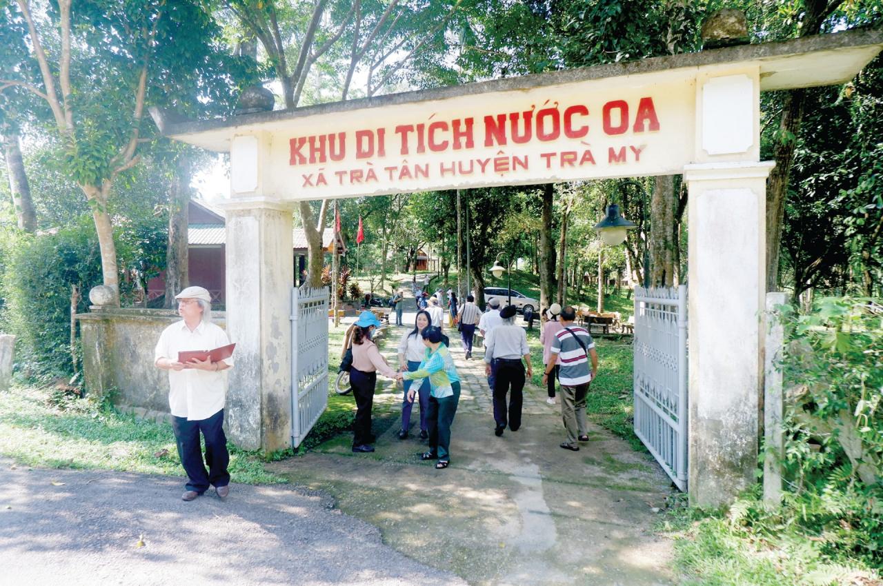
Also at the foot of the mountain on the banks of the Tra No River, the Zone V Party Committee base was established during the final stages of the resistance war against the US (1973-1975). Under the canopy of the forest, the Zone V Party Committee offices were scattered along the riverbank. From this land, many literary and artistic works were born and remain valuable to this day.
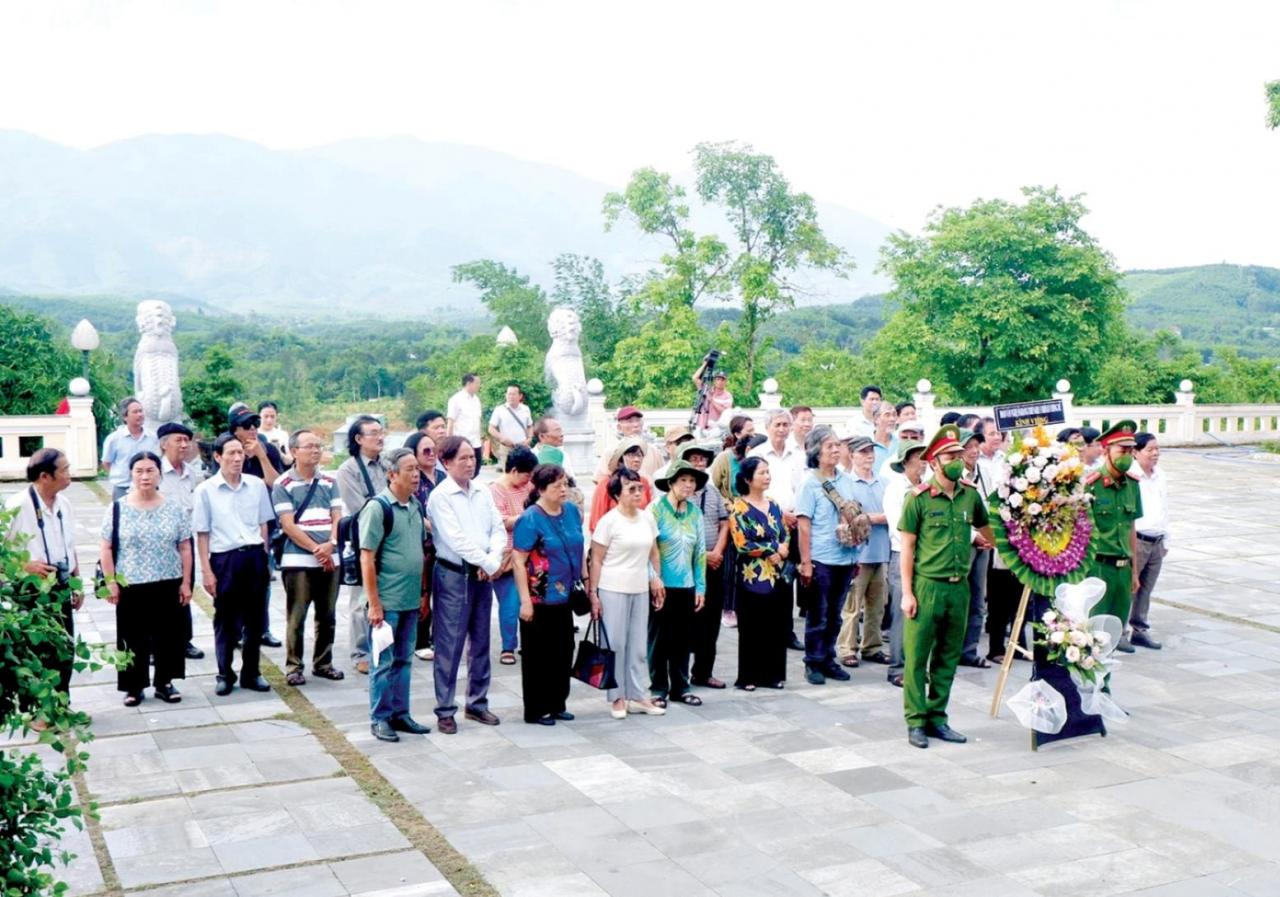
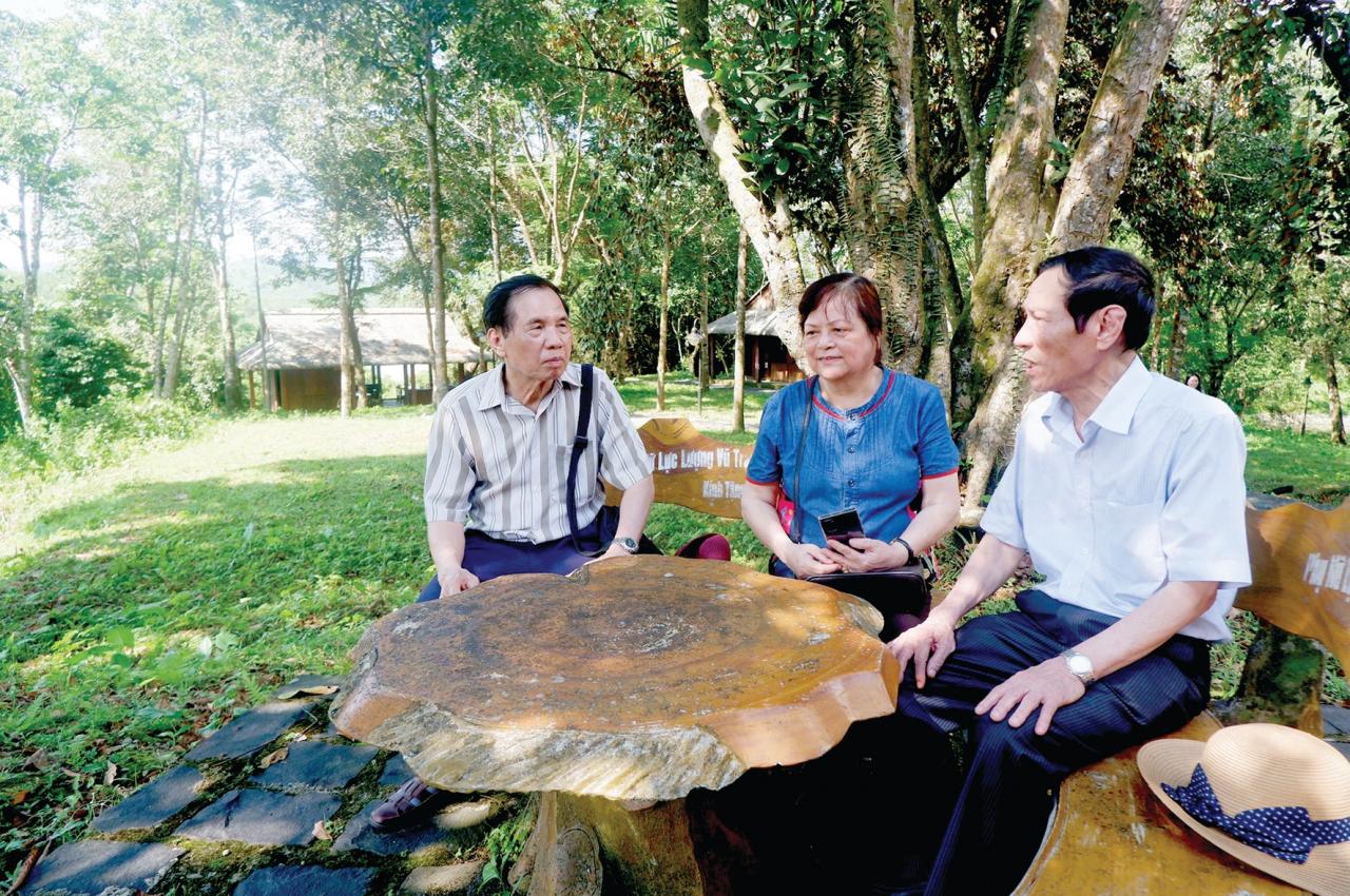
In August, a delegation of artists, writers, and educators visited the old battlefields. They once again chose to return to the revolutionary base areas, nestled among the hills and streams, such as Tra No, Liet Kiem, and Thuong Duc...


They visited Hon Kem Da Dung - a place where a mother sacrificed her child to save the villagers, where Cham script is still carved on the rocks, and where a majestic mountain range, like a fortress wall, casts its reflection onto the Thu Bon River.
History records that, relying on the strategically advantageous terrain of the mountains and rivers of Hon Kem, our army and people achieved the "Helicopter Warfare" victory. A majestic monument commemorating the "Helicopter Warfare" victory stands beside Tra Linh wharf, a reminder of this land's history.
Standing on the Tra Linh bridge, one can see the vast green expanse of mountains and forests in the upper reaches of the Thu Bon River. After passing Hon Kem Da Dung, the river carries silt to the Phu Gia - Dui Chieng, Ca Tang wharves, to the Trung Phuoc - Dai Binh ferry terminal… and further out to sea.
Source: https://baoquangnam.vn/dau-chan-tren-dinh-doi-3142762.html