
According to Clause 47, Article 3 of the 2024 Land Law, land disputes are disputes concerning the rights and obligations of land users between two or more parties in land relations.
Types of land disputes include:
- Land use disputes: These are disputes between land users regarding the boundaries of different land areas. This type of dispute arises when one party arbitrarily changes the boundary or when the two parties disagree and cannot determine the boundary. In some special cases, the entire area of another person's land is seized.
- Land reclamation disputes: This type of dispute involves reclaiming land and assets attached to the land that previously belonged to the individual or their relatives.
- Disputes concerning rights and obligations arising during land use: This type of dispute relates to issues concerning civil contracts. These disputes may involve demands for the fulfillment of obligations, recognition of contract validity, or declaration of the invalidity of civil transactions, etc.
- Land-related disputes: These are disputes concerning land use rights during divorce proceedings and disputes over inheritance rights to land use.
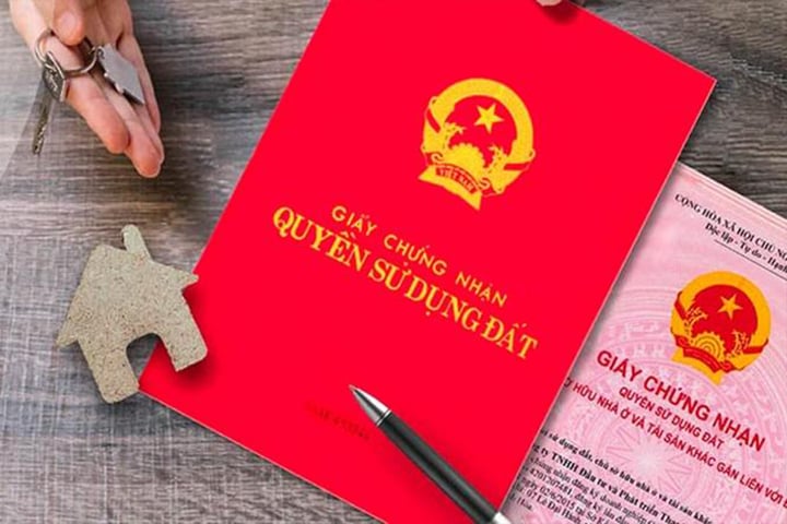
What is the procedure for issuing a land title certificate for disputed land? (Illustrative image)
Procedures for issuing land ownership certificates for disputed land.
Before submitting an application for a land ownership certificate, the People's Committee of the commune, ward, or town where the land is located will publicly post the current status of the land plot, any disputes, etc., at the People's Committee office and in the residential area where the land is located for a period of 15 days. After that, the People's Committee will consider and resolve any feedback (if any).
To determine land plot boundaries, surveyors coordinate with land administration officials at the commune or village/neighborhood level to assist and guide the determination of the current land use status and boundaries, along with the relevant land users and managers.
From there, surveyors mark the vertices of the land parcel with stakes and painted lines, and create boundary descriptions as a basis for measuring the land parcel boundaries. During the surveying process, surveyors will request the land user to present relevant documents related to the land.
During the process of surveying your land plot, it is mandatory for the neighboring landowners to be present. If they are absent, the survey must be publicly posted for 15 days. If, during the posting period, the neighbors refuse to sign the boundary agreement due to ongoing disputes or a request for dispute resolution, the People's Committee of the commune, ward, or town where the land is located will mediate. In this case, the procedure for applying for a land title certificate will be temporarily suspended.
During the mediation process, if both parties successfully reach a settlement, the dispute is resolved, and the People's Committee will then consider issuing the land ownership certificate to the owner. If mediation fails, the owner or the disputing party has the right to file a lawsuit in court.
Source


![[Image] 500 regional dishes introduced to the people of Ho Chi Minh City and tourists.](https://vphoto.vietnam.vn/thumb/1200x675/vietnam/resource/IMAGE/2026/03/27/1774576163392_001-jpg.webp)


Comment (0)