
One person died in an accident over a distance of more than 4 km.
At 7:10 PM on February 28th, Mr. P.Đ.Tr., born in 1971, residing in Ngoc Mai village, Vinh Hung commune (Binh Giang district), was riding his motorbike on National Highway 38 heading from Hung Yen to Quan Goi. Upon reaching kilometer 33, in Vinh Lai village, Vinh Hung commune, Mr. Tr. crashed into a roadside marker and then plunged into a ditch, resulting in his death.
Earlier, at 1:10 PM on January 12th, a traffic accident occurred at kilometer 23+350 on National Highway 38 in Cam Hung commune (Cam Giang district), involving two cars and a motorbike. A 52-year-old woman died at the scene. The victim was Ms. LTG, born in 1972, from Nghia Dao commune, Thuan Thanh town ( Bac Ninh province).
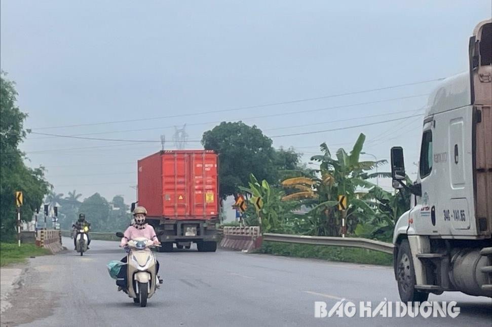
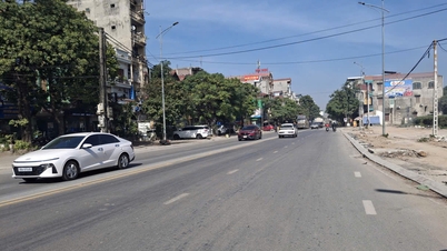
These are just two of the six traffic accidents that occurred on National Highway 38 passing through Hai Duong in the first four months of 2024, resulting in three deaths and four injuries. According to traffic accident data on national highways passing through Hai Duong in the first four months of 2024, National Highways 5 and 37 had the highest number of accidents. However, if we divide the length of the route by the number of deaths due to traffic accidents, the traffic situation on National Highway 38 is the most complex and potentially dangerous. In the first four months of 2024, on average, one person died in a traffic accident every 4.3 km on National Highway 38. Meanwhile, on National Highway 5, the average was one death every 7.3 km. This figure was 8 km on National Highway 37 and 9.3 km on National Highway 17B.
Identifying dangerous locations
At the end of 2023, the Provincial Traffic Safety Committee, the Traffic Police Department (Provincial Police), and the Department of Transport coordinated to inspect and review infrastructure deficiencies and potential traffic accident hotspots in the province. This identified six locations on National Highway 38 with high potential for traffic accidents.
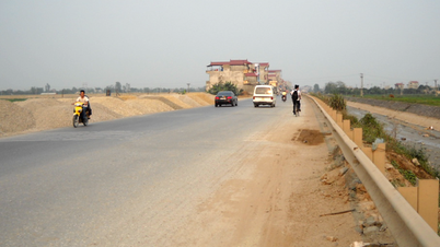
At kilometer 22+800, in the area of Đo Bridge, Cam Hung commune (Cam Giang district), the section of road from National Highway 38 across Đo Bridge narrows. Although reflective markers and studs have been added at both ends of the bridge, the road markings have faded, become damaged, and are no longer effective as warning signals, and there is no lighting system.
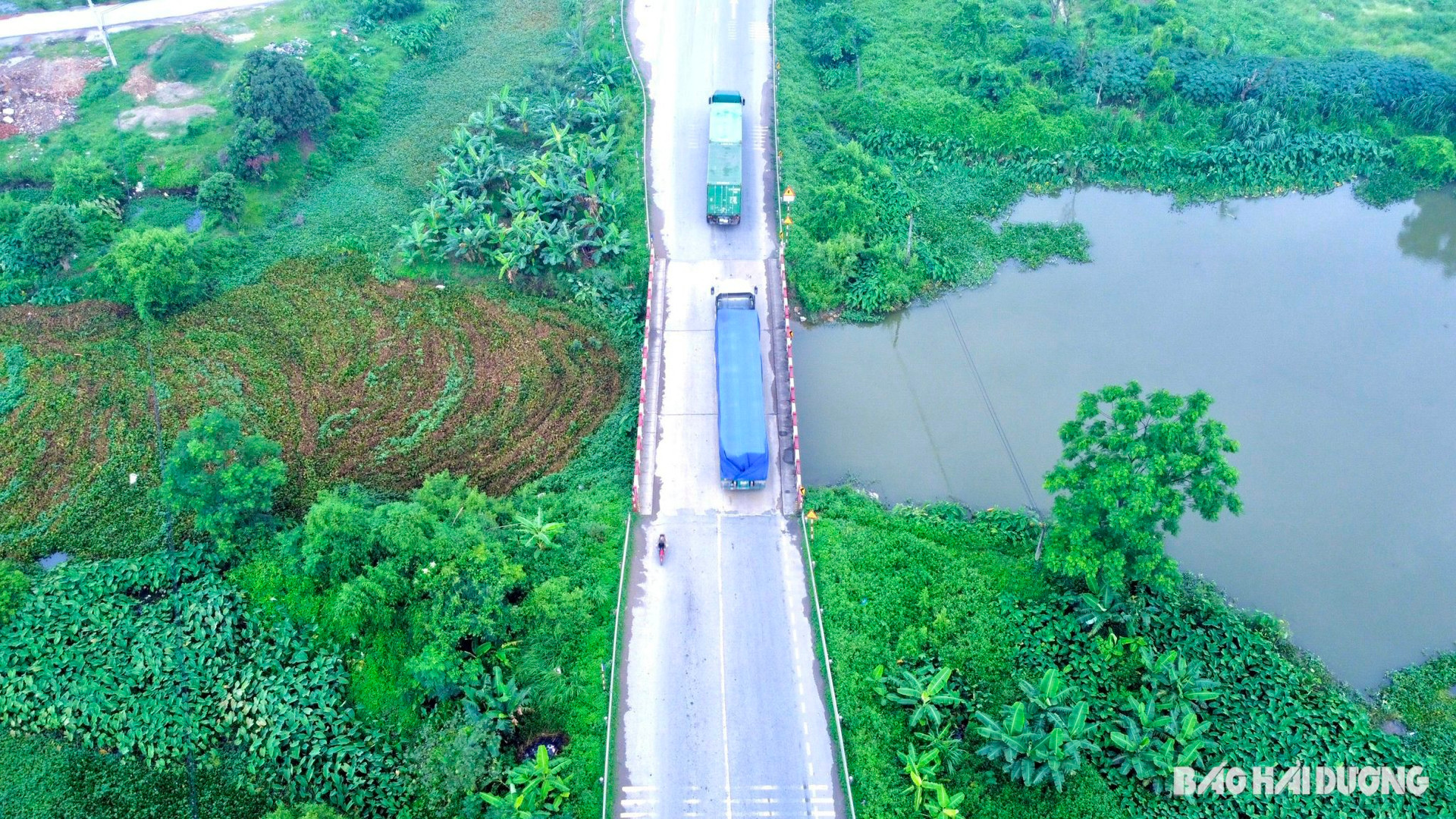
The section between km 24+300 and km 24+500, crossing the Guot bridge in Ngoc Lien commune, is narrow, the road markings are faded, and there are no streetlights.
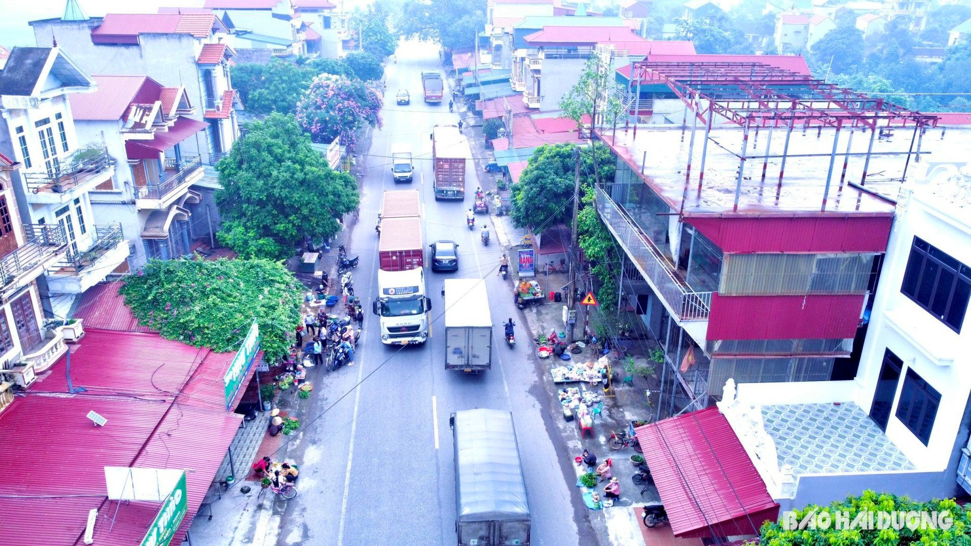
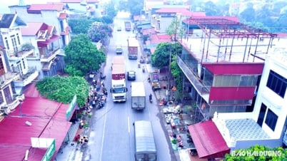
At kilometer 25+200, there is Ngoc Lien Market, a local market. From around 5:00 AM to 8:30 AM daily, many stalls are set up haphazardly along the roadside, with vendors encroaching on the traffic safety corridor. Shoppers park directly on the road, leading to traffic congestion. Similarly, at kilometer 30+700, Dong Giao Market in Luong Dien commune also frequently experiences the same scenes of vendors setting up stalls, stopping to buy goods, and encroaching on the traffic safety corridor.
At kilometer 32+80 on National Highway 38, at both ends of the Quan Goi overpass (Binh Giang), the road markings are faded, and the traffic organization is inappropriate, leading to frequent collisions.
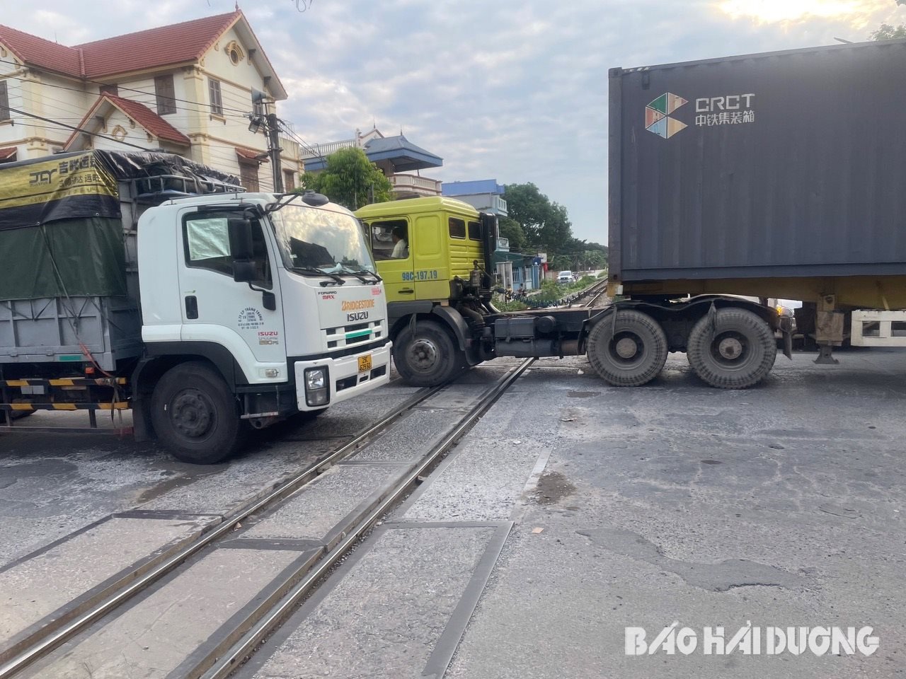
The most complex traffic situation is at the Hanoi-Hai Phong railway complex intersection with National Highway 38. The Hanoi-Hai Phong railway intersects National Highway 38 at km 27+450 – km 27+550. This section also runs parallel to Provincial Road 394C towards Cam Giang town and Provincial Road 19 (towards Hung Yen). Immediately following, at km 27+650, is the intersection of National Highway 38 with Provincial Road 280 towards Bac Ninh. These two intersections are only 100 meters apart, with narrow, curved roads. During peak hours, when workers commute to and from work, traffic congestion often occurs, coinciding with train schedules.
Here, many vehicles are not using the correct lanes on National Highway 38, while vehicles from provincial roads 19, 280, and 394C cut across, causing chaotic traffic. The road surface at the junction between National Highway 38 and the Gia Lam – Hai Phong railway line is damaged in places, with potholes appearing. The road signs in this area are placed low, difficult to see, and obscured by the wood of houses along the roadside…
On February 1, 2024, the Provincial Traffic Safety Committee, in coordination with the Road Management Office I.5, the Traffic Police Department of the Provincial Public Security, BOT 38 Joint Stock Company, and other relevant parties, agreed on a plan to address infrastructure deficiencies on National Highway 38. BOT 38 Joint Stock Company has submitted a report to the Vietnam Road Administration requesting approval for addressing these infrastructure deficiencies along the entire highway.
Upon inspecting the accident scene at kilometer 33 of National Highway 38 in Vinh Hung commune (Binh Giang district), the Provincial Traffic Safety Committee and related units discovered that the area around the new Sat Bridge, with its steep and curved slope, lacked a corrugated metal barrier from the bridge down to the end of the slope and had no lighting system. The Provincial Traffic Safety Committee requested the Hung Yen Provincial Department of Transport to direct the unit managing and operating National Highway 38 to inspect and add a corrugated metal barrier with reflective markers to guide traffic from the bridge down to the end of the slope; coordinate with the local authorities to close the connection point on the right side of the road at kilometer 32+950 of National Highway 38; and add lighting to the Sat Bridge area at kilometer 33 of National Highway 38.
Hopefully, the proposals and recommendations regarding the improvement of traffic infrastructure on national highways through Hai Duong, especially on National Highway 38, will soon be considered and addressed to ensure traffic safety for the people.
NINH THANHSource


Comment (0)