
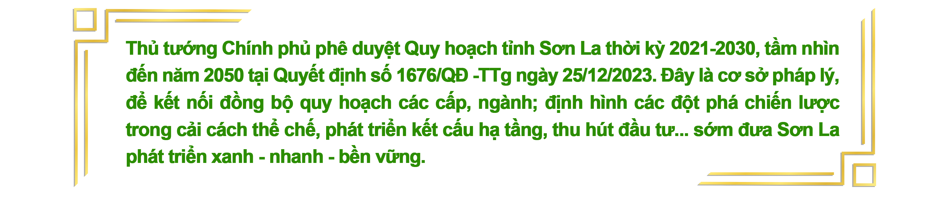
Son La is a mountainous border province located in the central part of the Northwest sub-region, bordering six northern provinces of Vietnam and the Lao People's Democratic Republic with over 274 km of border. It has a natural area of over 14,000 km2, ranking third among the 63 provinces and cities nationwide. The province comprises 12 administrative units, with a population of over 1.3 million people and 12 ethnic groups, creating a unique and rich ethnic culture... most notably the Thai Xoe dance, which has been inscribed by UNESCO as a representative intangible cultural heritage of humanity.
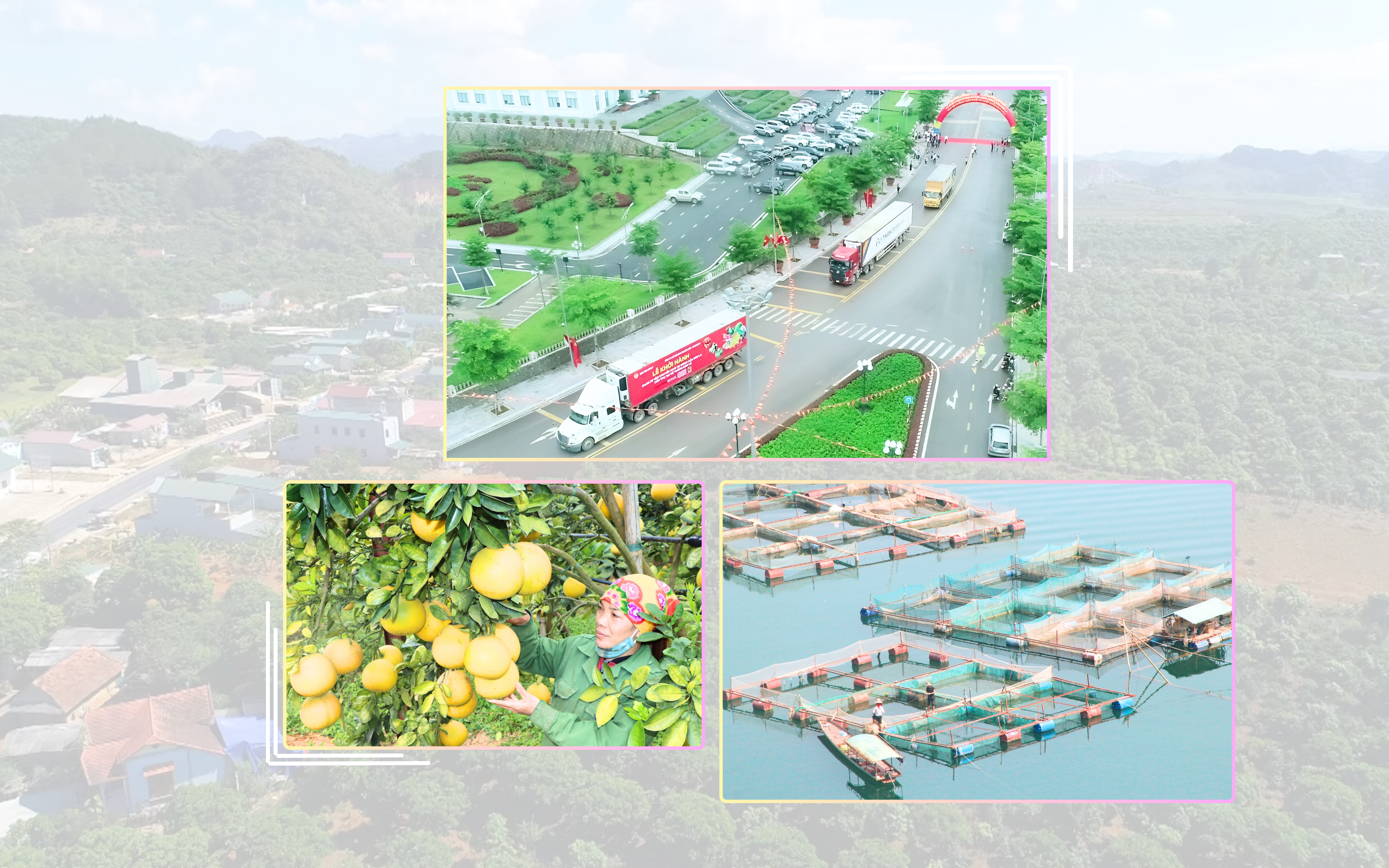
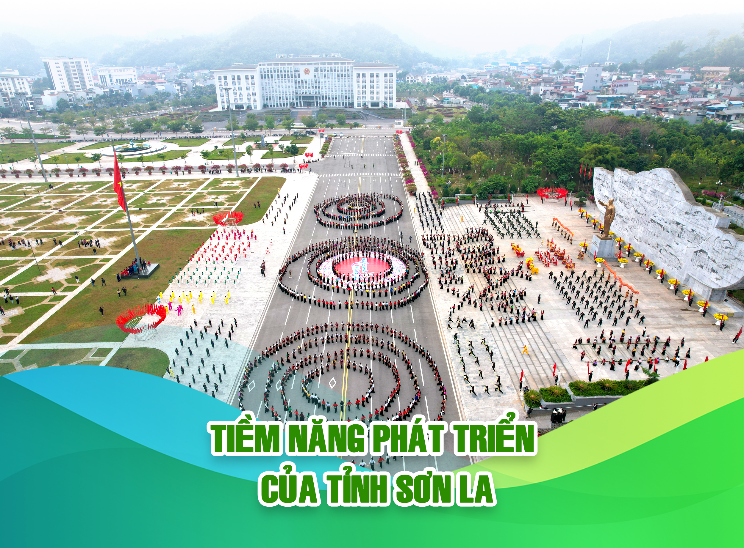
With favorable climate and land conditions, Son La province has over 1,000,000 hectares of agricultural land. To date, the total area of fruit trees and hawthorn trees has reached over 84,160 hectares, with a production of over 455,000 tons. It exports 17 agricultural products to 21 countries, including the US, EU, Japan, Russia, and South Korea; has 148 OCOP (One Commune One Product) products; and 280 safe agricultural and aquatic food supply chains.
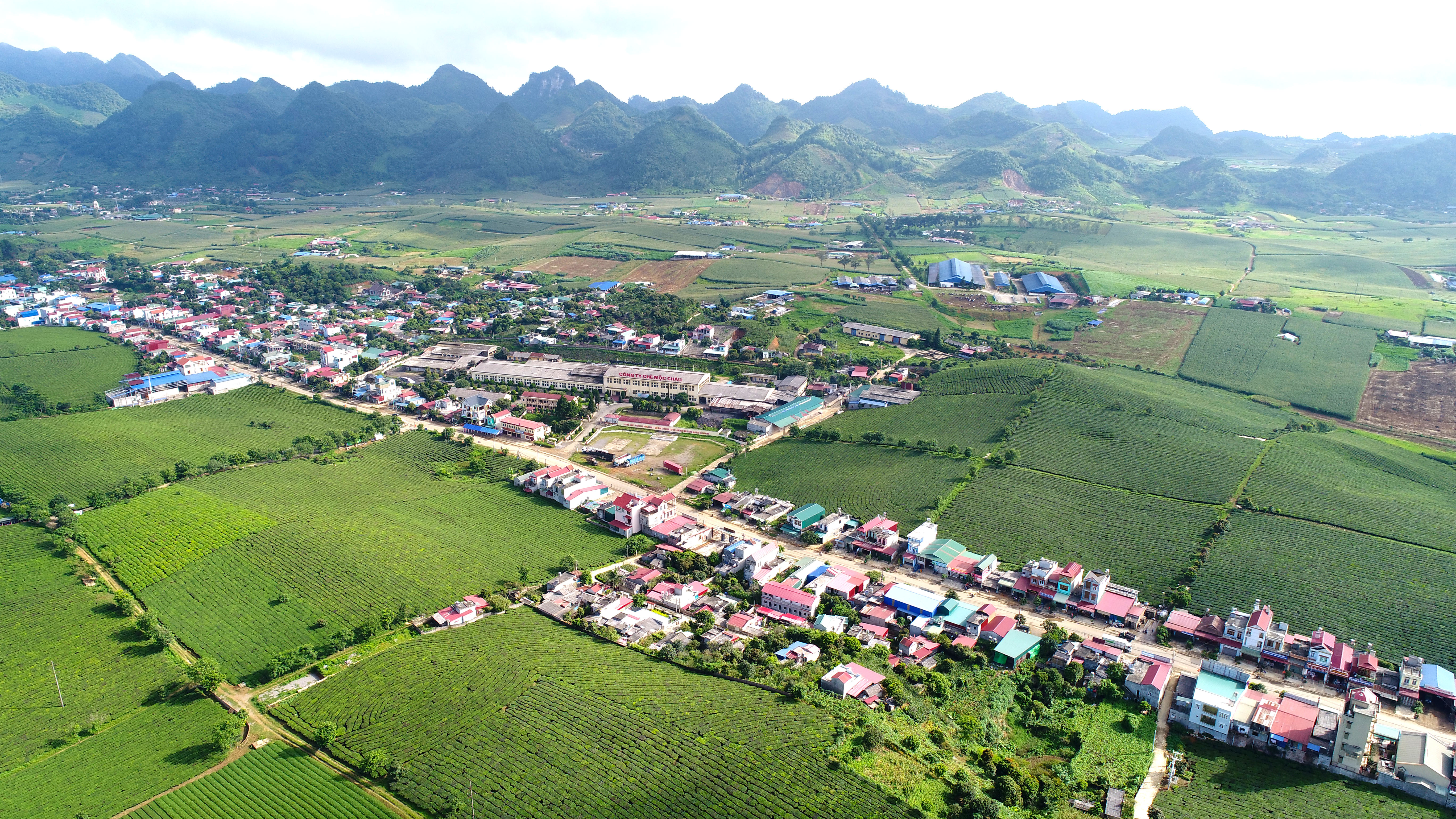
In particular, along National Highway 6 lie the Moc Chau Plateau and the Na San Plateau, with an average altitude of 800-1000 meters. Characterized by a sub-temperate climate and fertile soil, these areas are favorable for the development of tea, fruit trees, dairy farming, and various vegetables and flowers. To date, the province has 17 factories and 543 agricultural processing facilities linked to raw material areas, forming a value chain from production and processing to consumption, contributing to increasing the value of agricultural products.
The industrial sector continues to develop positively, ensuring growth while restructuring in line with the established direction, focusing on renewable energy power generation and agricultural processing industries.
Effectively exploiting the hydropower potential of the two major rivers, the Da River and the Ma River, and the streams in their basins. Currently, Son La province has 60 hydropower plants with a total capacity of 3,790.5 MW. The total annual hydropower production of the province reaches 12-15 billion kWh, equivalent to 17% of the national hydropower production.
The transportation system connecting Son La with other provinces in the region is being gradually upgraded, including National Highway 6 connecting Hanoi with the Northwest provinces; and the Hoa Binh - Son La expressway, which is currently being prepared for investment and construction. National Highways 37 and 279 connect Son La with the Northeast provinces such as Lao Cai, Yen Bai, and Phu Tho. Son La has the Long Sap international border gate and the Chieng Khuong national border gate connecting with the northern provinces of Laos, playing a particularly important role in the socio -economic development and ensuring national defense and security of the locality.

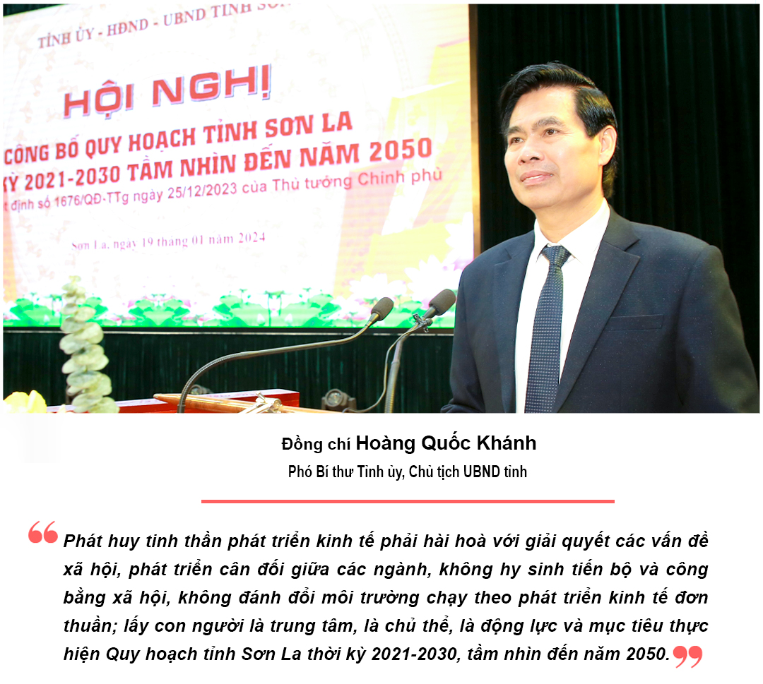
The planning vision for Son La province maintains a balance between social, economic, and environmental aspects. In this vision, the main strategy is to develop and increase the value of a green, rapid, and sustainable economy. Son La province has identified four distinct economic spaces, including:
Urban and National Highway 6 Region: Comprises Son La City, Mai Son District, and Thuan Chau District. It lies within the sphere of influence of two economic and technical corridors – National Highway 6; the Hoa Binh - Son La - Dien Bien Expressway; and the Da River Corridor. The region has a dense population and a large total infrastructure investment. Son La City is the central urban area and a central growth pole; Thuan Chau District has significant forest and hydropower resources; Mai Son District has Na San Airport and the Na San Plateau, and is also a high-tech agricultural region. This will be the main driving force for the province's development.
Moc Chau Plateau and surrounding areas: Comprising Moc Chau, Van Ho, and Yen Chau districts. Located within the influence of two economic corridors: National Highway 6 and National Highway 43. This plateau region boasts beautiful scenery, fertile land, a clean and cool climate, and a dense population. It is home to the Moc Chau tourist area, a renowned brand both domestically and internationally, having received the award for "World's Leading Natural Tourism Destination". It is identified as the main driving force of the province and a counterweight to the development of Son La city center.
The Da River reservoir and basin area: Comprising the districts of Quynh Nhai, Muong La, Bac Yen, and Phu Yen. Located within the influence of four economic corridors: the Da River; National Highway 6, National Highway 279D & National Highway 4G; and National Highway 43 corridor; it is the Da River basin area, with fertile land, rich in minerals and resources such as forests, hydropower, and groundwater; and diverse ecosystems...; favorable for multi-sectoral and multi-field development such as: aquaculture, specialized agriculture; ecotourism, mining, and processing industries...
The highland border region comprises two districts, Song Ma and Sop Cop. Located within the influence of three economic corridors: National Highway 6, National Highway 279D, and National Highway 4G, and the Song Ma River corridor; it is a high mountainous area with fertile, lush land, favorable for the development of specialized agriculture and resort tourism...
1. Urban and Rural System Planning: Developing the urban system of Son La province towards the criteria of sustainable, smart, and green cities adapted to climate change, with a focus on both in-depth and broad development. Phase 2021-2025: The province will have 16 urban areas (1 Type II urban area, 2 Type IV urban areas, 13 Type V urban areas); urbanization will reach 20.61%. Phase 2026-2030: The province will have 17 urban areas (1 Type II urban area, 6 Type IV urban areas, 10 Type V urban areas), with an urbanization rate of approximately 25.8%. Rural development in Son La province will follow the National Target Program for New Rural Development until 2030.
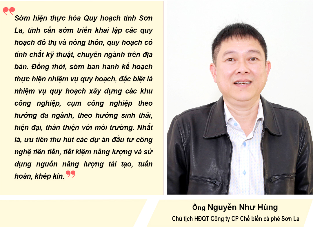
2. Development of Economic Zones, Industrial Parks, and Industrial Clusters: During the planning period, the formation and development of 2 border economic zones (Long Sap and Chieng Khuong), 2 industrial parks (Mai Son Industrial Park and Van Ho Industrial Park), and 15 industrial clusters were planned.
3. Developing the transportation network: Focus on coordinating the implementation of centrally-funded transportation projects in the area, such as the Hoa Binh - Son La - Dien Bien expressway, Na San airport, upgrading and expanding several key national highways, and implementing key transportation projects of the province. Simultaneously, focus on developing infrastructure for electricity, water, telecommunications, irrigation, waste treatment, and fire prevention and control.

Land resources must be used efficiently, rationally, economically, and sustainably; The targets for land allocation and zoning in Son La province until 2030 are consistent with the national land use planning targets for the period 2021-2030: By 2030, agricultural land will be 1,241,856 hectares; non-agricultural land will be 76,242 hectares; and unused land will be 92,791 hectares.

1. Inter-district regional development plan. Based on intra-regional and inter-regional linkages, combining socio-economic and territorial spatial approaches, aiming for balanced and homogeneous development among districts and cities, Son La province plans to develop four inter-district regions: the Urban and National Highway 6 region (Son La city and its surroundings); the Moc Chau Plateau and its surroundings region (Moc Chau, Van Ho, Yen Chau); the reservoir and Da River basin region (Quynh Nhai, Muong La, Bac Yen, Phu Yen); and the Border Highland region (Song Ma, Sop Cop).
2. Spatial Development and Territorial Organization Plan: The overall spatial structure of the province's socio-economic development involves the arrangement and coordination of production, business, and social activities within an inter-sectoral and inter-regional relationship, ensuring sustainable territorial development. The overall network structure of the province's socio-economic development is based on a triangular and grid-like pattern; ensuring relatively close distances and rapid access between key socio-economic centers (growth poles). Accordingly, the system of growth poles in Son La's socio-economic spatial structure includes: the central pole, Son La City - Na San Plateau; the counterbalancing pole (Moc Chau - Van Ho urban area); and the satellite poles, which are the cities and towns throughout the province.
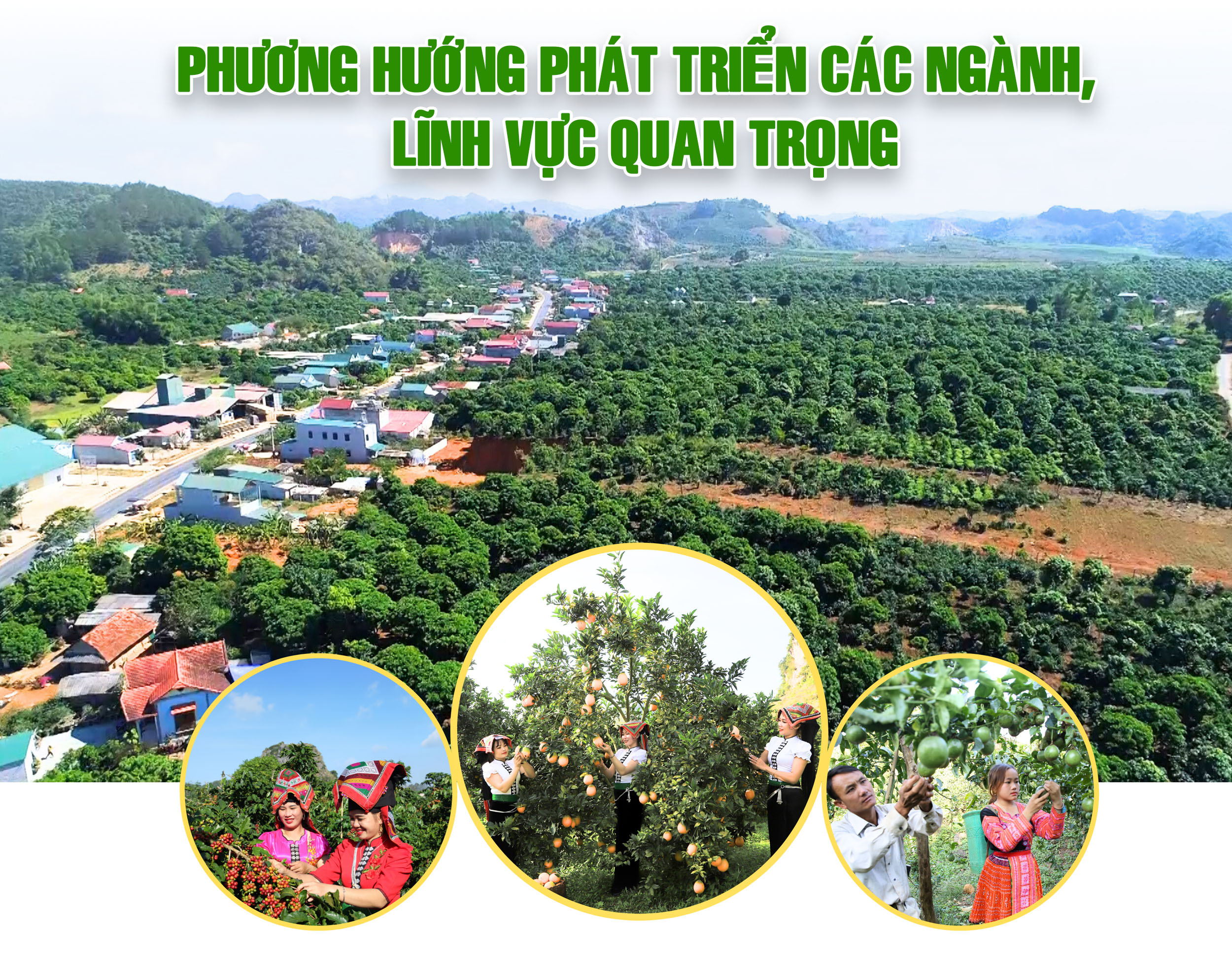
1. Agricultural Development : Towards a high-value, modern, sustainable, and highly competitive agricultural economy based on the diversification of farming methods, such as high-tech agriculture, organic farming, and circular agriculture. Focus on developing key products and distinctive products with potential, advantages, and large production volumes; linking with other sectors to support each other in product supply, consumption, machinery, and materials. Strive to make Son La a national key agricultural province, among the leading provinces in the Northwest and Northern mountainous regions.
2. Industrial Development: Prioritize attracting investment in industrial production projects that leverage local advantages, focusing on the development of renewable energy industries. Develop processing industries, especially agricultural, forestry, and aquatic product processing, while simultaneously developing and protecting forests; promote the application of science and technology to prevent supply chain disruptions, and promote circular, green, clean, and sustainable production; exploit and process minerals, produce construction materials, and develop labor-intensive industries... By 2030, Son La will become a modern agricultural processing center in the Northern Midlands and Mountains region, and the leading province in renewable energy electricity production in the North.
3. Development of the Service Sector: Develop the province's tourism industry into a key, leading economic sector, a safe and attractive destination for the Northern Midlands and Mountains region, the whole country, and internationally; notably: Moc Chau National Tourist Area; Son La hydroelectric reservoir tourist area; Bac Yen tourist area... historical sites, war relics... At the same time, develop trade, modernize the trade sector, encourage economic sectors to invest in high-quality, large-scale, and modern distribution services. The finance, banking, and insurance sectors will improve quality and diversify products and services by innovating processes and procedures and increasing the application of information technology, gradually shifting from traditional to digital business. The transportation and logistics sector will exploit the advantages of the road, air, and river systems, developing the sector in a synchronized and modern way...
4. Cultural and Social Sectors: Education and Training: Completing the infrastructure system, improving teaching quality and enhancing the quality of the teaching staff; digital transformation and development into a smart education system. Health : Completing and modernizing medical facilities and equipment; improving the quality of medical examination and treatment; prioritizing investment in modern and advanced medical equipment in provincial-level hospitals. Culture and Sports: Upgrading, supplementing, and completing the system of grassroots cultural and sports institutions from the provincial level down to the district and commune levels; gradually digitalizing, building and developing Son La's culture and sports into an advanced culture with a strong national identity. Science and Technology: Taking science, technology, and innovation as important drivers for developing modern productive forces, improving productivity, quality, efficiency, and competitiveness of the economy. Social security, effectively implementing policies and mobilizing social resources to care for war veterans and social welfare beneficiaries; fully and promptly implementing policies, programs, schemes, and projects on poverty reduction, child protection and care...
5. National Defense and Security: Building a strong and comprehensive provincial armed force with high overall strength, high combat readiness, and the ability to prevent passivity and surprise, and to handle all situations promptly and effectively, maintaining political security and social order.

To achieve the set goals, Son La province has proposed 7 groups of solutions:
● Solutions for mobilizing investment capital
● Solutions for human resource development
● Environmental, scientific and technological solutions
● Solutions regarding mechanisms and policies for collaborative development
● Solutions for managing and controlling urban and rural development
● Solutions for ensuring national defense, security, and social safety, creating a favorable environment for development.
● Solutions for organizing and monitoring the implementation of the plan.
The growth scenario for Son La aims to achieve a per capita GRDP of 100-120 million VND by 2030; an urbanization rate of approximately 25.8%; an average life expectancy of over 75 years; and a stable forest cover rate of 50%.
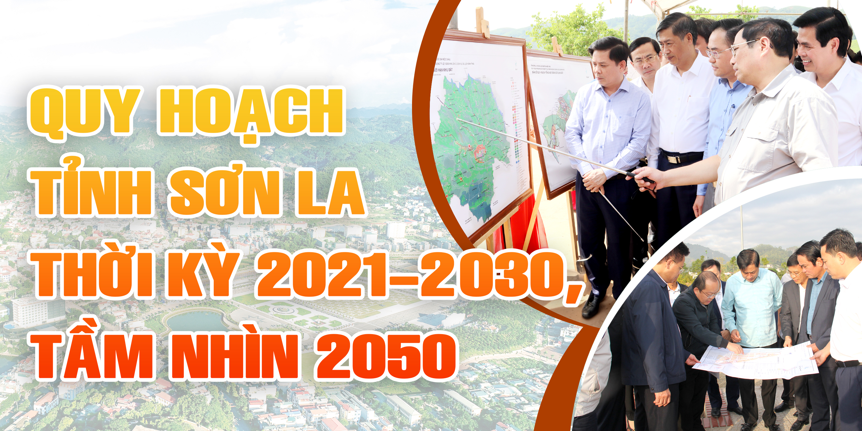
With its vision, innovative thinking, creativity, and aspiration for development, the approved Son La Provincial Planning for the period 2021-2030, with a vision to 2050, plays a crucial role in the socio-economic, environmental, and national defense and security development of the province. Simultaneously, it is the product of the collective wisdom and dedication of the entire Party Committee and people of the province, determined to soon transform Son La into a key national agricultural province, ranking among the leading provinces in the Northwest and Northern mountainous regions.

Source


![[Photo] National Assembly Chairman Tran Thanh Man successfully concludes his participation in IPU-152](https://vphoto.vietnam.vn/thumb/1200x675/vietnam/resource/IMAGE/2026/04/18/1776502638199_vna-potal-chu-tich-quoc-hoi-ket-thuc-tot-dep-chuong-trinh-tham-du-ipu-152-8709975-jpg.webp)


Comment (0)