
This is an urgent standardization requirement aimed at modernizing management practices, shortening administrative procedure processing times, and serving as a core basis for Hanoi to review and effectively utilize strategic land resources, creating sustainable financial resources for the future.
Determined to achieve the goal of " right - sufficient - clean - healthy"
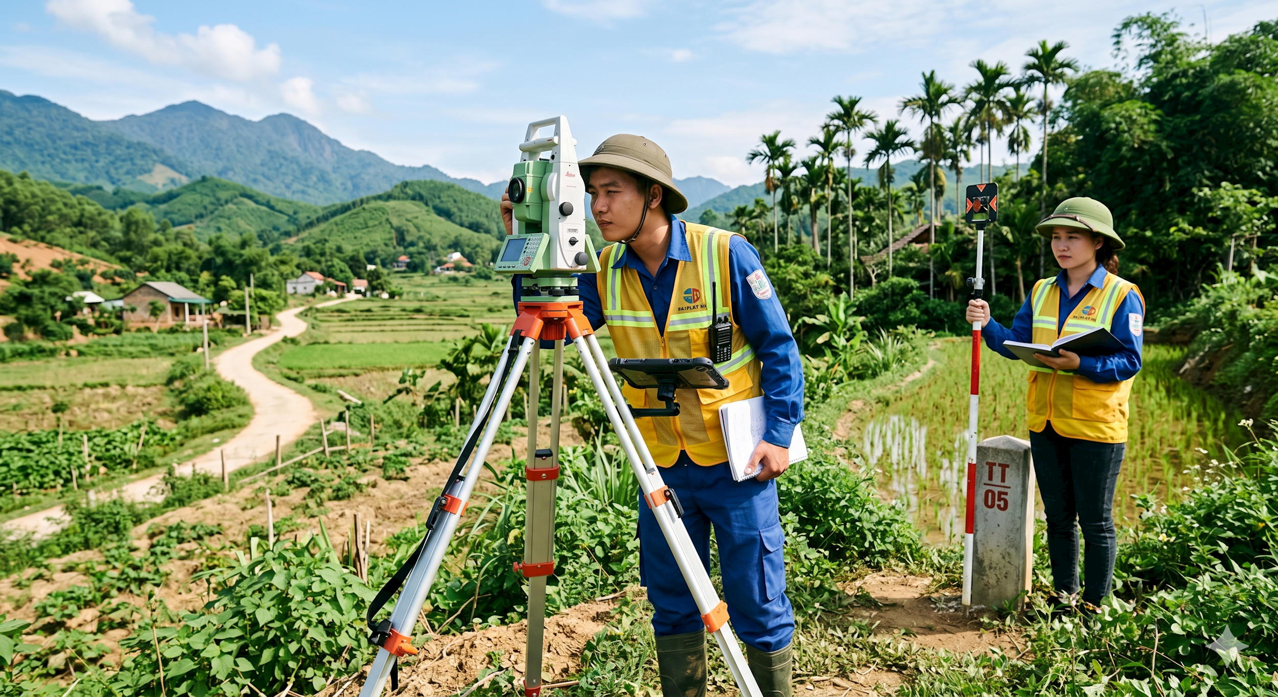
According to statistics from the Department of Agriculture and Environment, the city currently has a total of 4.2 million land parcels. The land database is being developed to closely connect three blocks of information: spatial data, attribute data, and scanned records.
According to results as of April 1, 2026, the data ensuring the criteria of "accurate - complete - clean - active" has successfully connected all three information blocks, reaching 43% of the total number of land parcels, mainly residential land, and has recorded a 4% increase compared to the previous week. The system is operating stably on the ViLIS 2024 software platform upgraded by the Ministry of Agriculture and Environment and the Department, with infrastructure located at the Hanoi Land Registration Office. This clean data has initially been connected and shared with the Public Administration Service Center, the city's Shared Data Center, and the tax authorities. Statistics as of March 18, 2026 show that the amount collected into the budget through the national public service portal has reached over 2.817 billion VND from personal income tax and registration fees.
Nevertheless, the workload for the final stretch remains substantial, as 37% of the land parcels only have spatial data, including 12% of residential land and 25% of agricultural and other land, which are still being checked and compiled for attribute integration. In addition, 20% of the land parcels still lack spatial data, attributes, and scanned records, mainly concentrated in the agricultural land group following land consolidation.

To achieve comprehensive completion by June 30, 2026, the Department of Agriculture and Environment is focusing intensely on implementing tasks on a weekly and monthly basis. With the motto that data will be put into operation as soon as it is completed, this standardized information source will be exploited and widely shared with departments, sectors, and localities to reduce administrative procedures and strongly promote the digital economy.
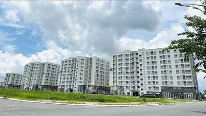
Establishing a basis for effective management and utilization of resources from land funds.
According to experts, standardizing data provides a solid foundation for the city to accurately determine land use needs for the 2026-2030 period to serve nine strategic tasks, such as BT projects, urban redevelopment, development of the TOD (Transit-Oriented Development) public transport model, construction of industrial parks, clusters, high-tech zones, and green space development with the goal of "forests in the city, cities in the forest," in line with the 100-year Capital City Planning.
Based on the current situation and planning orientation, the city has developed a plan to exploit six land funds with a total area of 19,325 hectares, estimated to generate revenue of approximately 1.5 trillion VND. These strategic land funds include land with defined boundaries such as land allocated for BT projects, adjacent to the Ring Road, and pilot projects under Resolution 171, totaling approximately 7,532.5 hectares; land for auction (approximately 664 hectares); land for bidding (approximately 2,977 hectares); land for relocating production facilities that do not conform to the planning (approximately 197 hectares); land from slow-developing non-budgetary projects (approximately 7,013 hectares); and land from short-term leases (approximately 942 hectares).
In addition, a significant amount of resources is expected to be added from the conversion of approximately 3,000 hectares of adjacent garden and pond land to residential land, corresponding to a revenue of about 450 trillion VND.
Between 2026 and 2030, Hanoi plans to develop approximately 15,000 hectares of land from demarcated plots, auctioned plots, and slow-developing projects, generating an estimated revenue of around 800 trillion VND. Simultaneously, it plans to develop approximately 1,200 hectares of adjacent garden and pond land, converting it to residential land, to generate an estimated revenue of around 200 trillion VND.

In 2026 alone, the planned revenue from land is expected to reach 150 trillion VND, significantly exceeding the initial target of 98 trillion VND set by the city. Looking ahead to the long-term period of 2030-2045 and beyond, Hanoi will continue to develop 39,305 hectares of land as defined by the plan, based on the unwavering principles of legal compliance, efficiency, environmental protection, and the preservation of high-value land reserves for the future.
Source: https://hanoimoi.vn/day-nhanh-chuan-hoa-du-lieu-dat-dai-nen-tang-khoi-thong-nguon-luc-thu-do-1159027.html


![[Video] Sunset at Lap An Lagoon – Where the sun sets over the fishing nets](https://vphoto.vietnam.vn/thumb/1200x675/vietnam/resource/IMAGE/2026/05/31/1780192137701_beach-landscape-sea-water-nature-grass-745871-pxhere-com.jpeg)


Comment (0)