
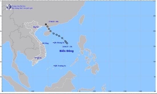
The weather forecast bulletin for the morning of June 27 from the provincial Hydrometeorological Station said that last night, June 26, after entering the mainland of southern Guangxi province (China), the tropical depression weakened into a low pressure area.
At 1:00 a.m. on June 27, the center of the low pressure area was at about 22.2 degrees North latitude; 109.3 degrees East longitude. The strongest wind in the center of the low pressure area decreased to below level 6 (below 39 km/h).
It is forecasted that in the next 12 hours, this low pressure area will continue to move northwest, deep into the southern mainland of Guangxi province, weaken and gradually dissipate, no longer able to affect Vietnam.
This is the last news on the tropical depression.
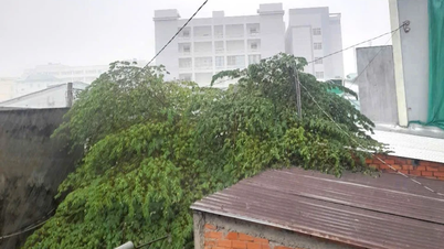
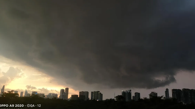
On the morning of July 27, through monitoring weather radar images at 6:30 a.m., it was shown that convective clouds were developing and causing rain in the area of Kinh Mon town and Chi Linh city of Hai Duong. In addition, convective clouds were developing and causing rain in Quang Ninh and Bac Giang provinces, moving towards Hai Duong province.
During the current period to the next few hours, this convective cloud area will continue to move and cause showers and thunderstorms in Hai Duong City, Cam Giang, Gia Loc, Tu Ky, Nam Sach, Kim Thanh, Binh Giang...
During thunderstorms, be careful of lightning, tornadoes and strong winds that can break trees, damage houses, traffic works and infrastructure, endangering human life.
PVSource: https://baohaiduong.vn/ap-thap-nhiet-doi-suy-yeu-hai-duong-co-mua-rao-o-nhieu-khu-vuc-415066.html


Comment (0)