

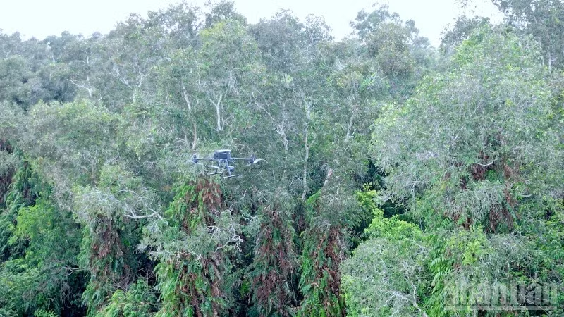
The aforementioned deliberate combination has created a solid shield that helps authorities detect and respond promptly to threats, thus protecting the green lungs of the Mekong Delta region.
According to the latest statistics from the Ca Mau Provincial Forest Fire Prevention and Control Command on the afternoon of May 14th, the entire region is experiencing a severe drought, with a total forest area at risk of fire exceeding 50,500 hectares.
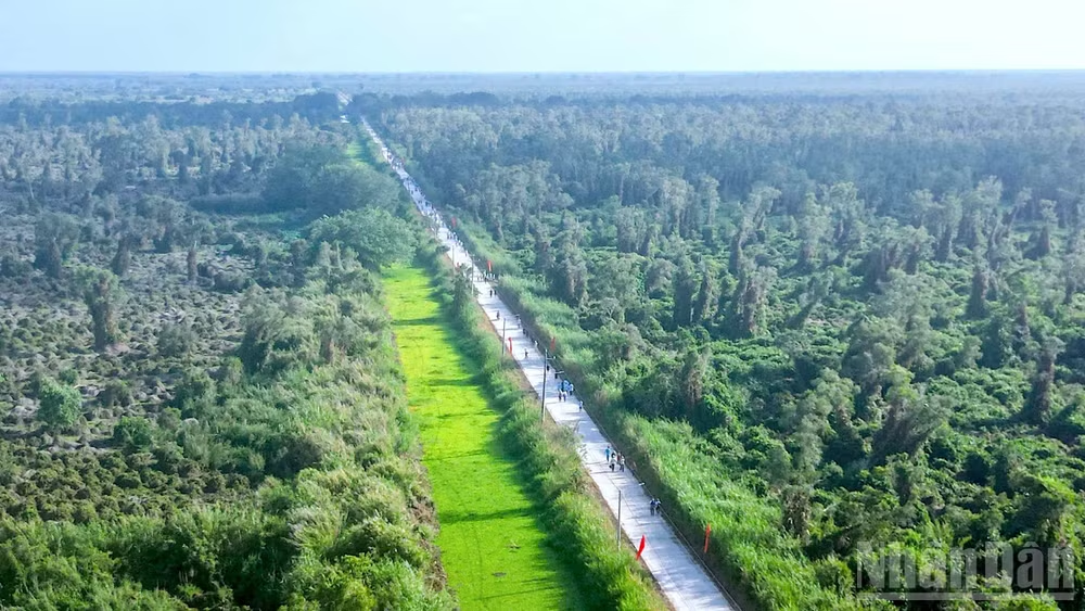
Even more alarming, the area of forest at extremely high fire risk (level V) has reached 27,100 hectares; the forest fire risk levels III and IV are also at 11,700 hectares and 11,600 hectares respectively.
The epicenter of the extremely dangerous fire risk zones covers the forest areas managed by U Minh Ha Forestry One-Member Limited Liability Company, U Minh Ha National Park, the Southwest Vietnam Forestry Experimental Research Center, and the Hon Khoai Island Cluster Forest Ranger Station.
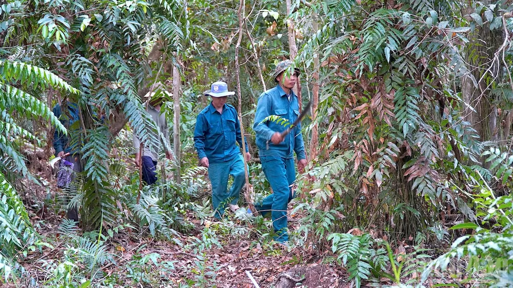
In the drought-stricken U Minh Ha region, large areas of pristine melaleuca forest have run out of water, leaving behind a dense, dry, brittle undergrowth that is extremely flammable. In prolonged dry weather conditions, even a small mistake in using fire could easily ignite a major fire disaster. Therefore, many areas have been placed under special monitoring to ensure readiness for emergency response.
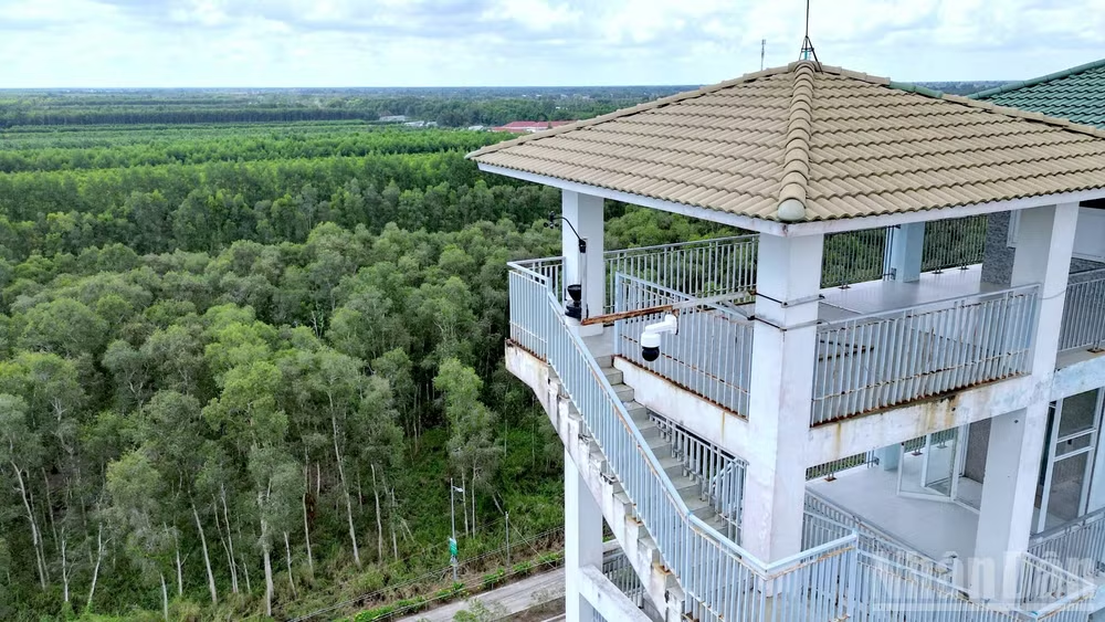
To cope with the severe challenges of this dry season, Ca Mau has adopted technological solutions. Most notably, a specialized camera system has been put into operation in U Minh Ha National Park, likened to "all-seeing eyes" that never sleep in the vast forest.
There, the surveillance cameras are installed on watchtowers approximately 26 meters high in administrative and heavily guarded areas. Each camera cluster is a perfect combination of thermal and optical lenses. With the ability to rotate 360 degrees continuously 24/7 and a viewing range of up to 5km, one camera can effectively monitor an area of 2,500 hectares.
Thanks to 4K resolution, magnified 30-40 times, the system clearly identifies even the smallest smoke trails or fire points from the very beginning, then immediately sends a warning signal to the control center and the phones of the on-duty personnel. From this data, the authorities quickly and accurately determine the danger and deploy personnel and equipment to the scene as quickly as possible to handle the situation.
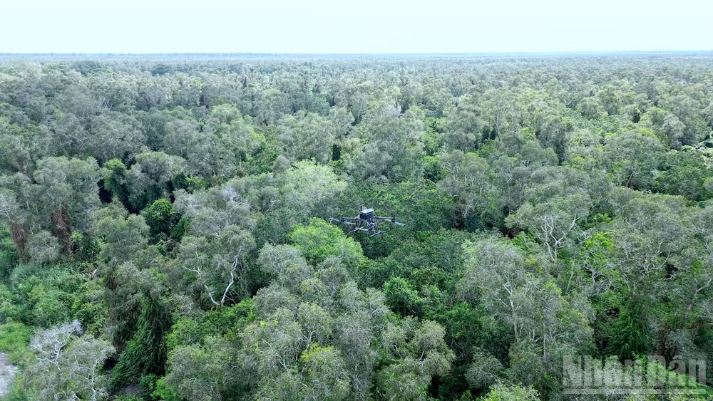
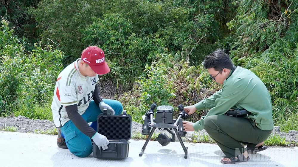
Besides fixed observation towers, U Minh Ha National Park is also equipped with thermal imaging drones to enhance aerial mobility. Mr. Le Thanh Dung, Deputy Director of U Minh Ha National Park, shared the advantages of the equipment: “At the beginning of the rainy season, because the observation towers are made of steel, when thunderstorms and lightning occur, the personnel cannot stand guard on the towers. At this time, drones are very effective in helping to detect fire points.”
In the event of a fire, drones not only fly through space to send precise coordinates, but also map out the shortest route for firefighters to reach the scene, optimizing response time.
Technology is powerful, but hidden dangers still lurk in the vast forests. People's carelessness when secretly entering the forest to collect honey, or the early season lightning strikes, always threaten to cause wildfires.
In particular, the unseasonal rains, which were supposed to bring coolness, inadvertently washed away the acidic layer on the vegetation, giving the fire a chance to spread faster than normal if a fire occurred.
Given this situation, U Minh Ha National Park is striving to propose approximately 7.2 billion VND in funding to invest in three new camera clusters, hoping to soon complete a high-tech surveillance network that will cover almost the entire forest area under its management in the future.
Source: https://nhandan.vn/ca-mau-ung-dung-cong-nghe-tham-gia-canh-lua-mua-kho-post962206.html
![[Image] Close-up view of the interchange connecting the two expressways and Long Thanh Airport.](https://vphoto.vietnam.vn/thumb/1200x675/vietnam/resource/IMAGE/2026/05/25/1779703378210_ndo_br_z7863716673926-224453a31600126cce10622af6290afd-4549-jpg.webp)


![[Image] Hanoi's urban life under the challenge of a "scorching hot" environment](https://vphoto.vietnam.vn/thumb/1200x675/vietnam/resource/IMAGE/2026/05/25/1779706979265_nang-nong-t5-2026-minh-duy-7-4636-jpg.webp)





















































































Comment (0)