
Review and clean up land database
According to the report of the Department of Agriculture and Environment, before the merger, the land database of Khanh Hoa province was built under the Project "Strengthening land management and land database" (VILG Project). The products of the VILG Project were put into operation and management in the province's land information system in June 2023. The provincial cadastral database has been updated and adjusted regularly according to regulations... With the land database in the south of the province, it has now been integrated into the province's land information system for unified use according to regulations. The Department of Agriculture and Environment is coordinating with the Department of Science and Technology to add the task of building the provincial land database to the List of projects and information technology tasks in 2025 and the period 2026 - 2030 to submit to the Provincial People's Committee for approval. However, currently, in the whole province, the volume of land and housing certificates that need to be checked and authenticated with the national population database and the need to create a land database is still very large.
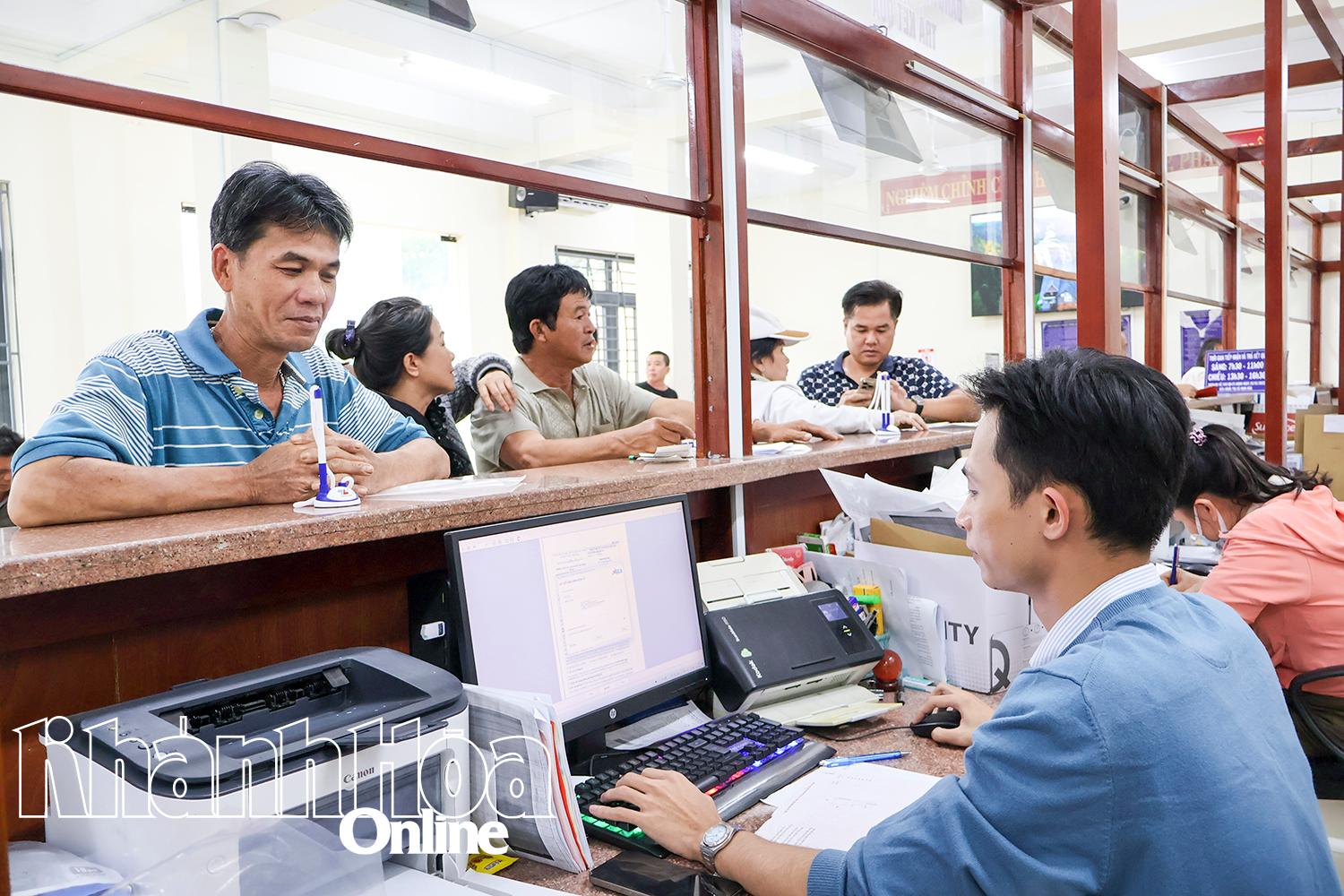 |
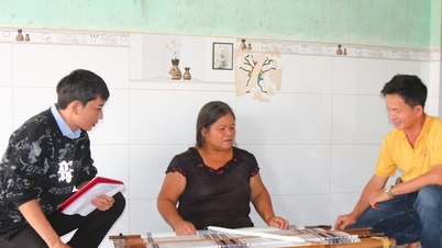
| People carry out land procedures in Ninh Hoa ward. |
According to Plan No. 3992, the Provincial People's Committee requires functional units, 65 communes, wards and special zones in the area to focus on reviewing and cleaning up the land database that has been built over the periods in 65 communes, wards and special zones in the province (after the merger); collect, digitize and create data for GCN (residential land, houses) that have been issued but not updated in the database. The plan is implemented by the province with key tasks including: Reviewing and classifying land data that has been built in the database; verifying and cross-checking information of land users and house owners who have been granted GCN in the land database with the national population database; based on the results of matching and verifying land plot data information with the national population database, continuing to update, review, adjust and supplement information of land users; Collect, scan, and take photos of all types of land use certificates, housing certificates, identity cards, and citizen identification cards of land users and owners of houses that have not been built in the land database; create a database for land plots and houses that have been granted certificates but have not yet had a land database built; synchronize the provincial land database with the national land database at the central level.
At the same time, restructure the administrative processes and procedures on land and property attached to land to reduce paper documents, use existing information and data in the land database, the national population database and other databases to resolve administrative procedures on land and property attached to land of people and businesses; connect and share the land database with local agencies and units to receive and resolve administrative procedures on land and property attached to land and determine financial obligations for people and businesses; organize the land database after arranging administrative units according to the 2-level local government model. In addition, add information on land plot identification codes to connect and integrate with the national digital address platform and other national databases; Ensure security, safety, and confidentiality of information and data of systems operating locally, develop backup plans, respond to incidents, and ensure uninterrupted service to people and businesses.
Synchronously deploy tasks
The leader of the Department of Agriculture and Environment said that after more than 1 month of implementing Plan No. 3992 of the Provincial People's Committee, up to now, the Department of Agriculture and Environment has coordinated with Vietnam Informatics - Cartography Joint Stock Company to complete the construction and update of land plot identification codes into the provincial land database; establish reference tables for commune-level administrative units, reference tables for cadastral maps to organize and arrange the land database from the 3-level government model to the 2-level local government model; export data forms from the Land Information System to review and classify the number of land plots according to 3 data groups.
 |
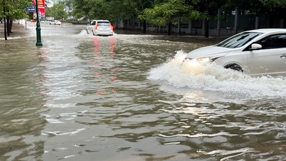
| A land area in Nam Nha Trang ward. |
Regarding the work of building residential land and housing data for places where the database has not been built, the Department of Agriculture and Environment has issued an official dispatch on guiding the Branches of the Land Registration Office and the People's Committees at the commune level to implement the Campaign to enrich and clean up the land database. The Branches of the Land Registration Office and the People's Committees of communes and wards are implementing the work of collecting certificates issued for residential land, housing and identity cards and citizen identification cards. Specifically, a list of certificates, identity cards and citizen identification cards that need to be collected at the People's Committees at the commune level has been made for 14,521 cases (Cam Lam Branch of the Land Registration Office). Along with that, the Department of Agriculture and Environment has implemented technical connection of the local land database with the national land database to link with the national population database; implemented the conversion of the land database according to the 2-level local government model to connect, integrate and update land plot identification codes in the land spatial database.
To meet the time schedule set by the province, the Department of Agriculture and Environment proposed that the Department of Land Management (Ministry of Agriculture and Environment) request the Vietnam Informatics - Cartography Joint Stock Company (the unit implementing the Land Information System) to provide a software tool to automatically update information on land users, scanned files of land use certificates into the land database after being checked, authenticated, and automatically updated by the Department of Administrative Police for Social Order (C06) - Ministry of Public Security . The list of land use certificates, identity cards, and citizen identification cards collected from the Branch of the Land Registration Office, the People's Committee at the commune level, and the automatic land data classification tool that has been built so far for Khanh Hoa province.
According to the request of the Provincial People's Committee, in the process of implementing Plan No. 3992, the agencies and functional units must ensure the correct progress, quality and efficiency, ensuring that the review of the province's land database must be completed "correctly - sufficiently - cleanly - liveably - unified - shared"; unified, synchronously suitable for the 2-level local government organization model. The province's land database must be connected to the national land database, connected to share the national population database; connected to the databases of some key sectors of the province...
THAI THINH
Source: https://baokhanhhoa.vn/xa-hoi/moi-truong-do-thi/202510/90-ngay-lam-sach-co-so-du-lieu-dat-dai-9375b7f/

![[Photo] Prime Minister Pham Minh Chinh chairs a meeting of the Government Standing Committee to remove obstacles for projects.](https://vphoto.vietnam.vn/thumb/1200x675/vietnam/resource/IMAGE/2025/10/06/1759768638313_dsc-9023-jpg.webp)


![[Photo] Prime Minister Pham Minh Chinh chaired a meeting of the Steering Committee on the arrangement of public service units under ministries, branches and localities.](https://vphoto.vietnam.vn/thumb/1200x675/vietnam/resource/IMAGE/2025/10/06/1759767137532_dsc-8743-jpg.webp)


Comment (0)