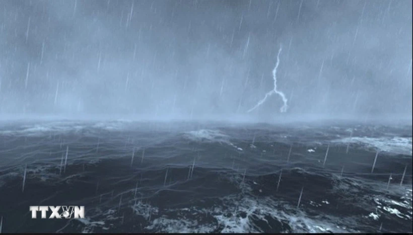
Illustrative photo. (Source: VNA)
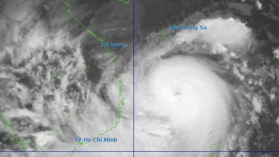
The center of the tropical depression at 4:00 a.m. was at about 19.1 degrees North latitude, 118.2 degrees East longitude, in the eastern sea area of the North East Sea. The intensity was level 6 (39-49 km/h), gusting to level 8, moving in the West Northwest direction, at a speed of about 10-15 km/h.
Forecast until 4:00 a.m. on August 9, the low pressure area will move to the West Northwest, speed 10-15 km/h; location at 19.6 degrees North latitude, 115.5 degrees East longitude, about 560 km Northeast of Hoang Sa archipelago; intensity level 6, gust level 8. Dangerous area at 18.0 degrees North latitude, 21.0 degrees East longitude and 113.0 degrees North latitude, 118.5 degrees East longitude.
At 4:00 a.m. on August 10, the tropical depression moved northwest at a speed of 5-10 km/h and gradually weakened into a low pressure area in the northwest sea of the North East Sea.
Warning: The northeastern sea area of the North East Sea has thunderstorms, strong winds of level 6, gusts of level 8. Waves are 2-3m high. Rough seas. Ships operating in the danger zone are at high risk of encountering thunderstorms, whirlwinds, strong winds and large waves.
According to the guidance of the Ministry of Agriculture and Environment , affected coastal provinces and cities must closely monitor warning bulletins, forecasts and developments of strong winds at sea; notify captains and owners of vehicles and vessels operating at sea to proactively prevent and have appropriate production plans, ensuring safety of people and property; maintain communication to promptly handle bad situations that may occur.
NM
Source: https://baothanhhoa.vn/ap-thap-manh-thanh-ap-thap-nhiet-doi-tren-bien-dong-257311.htm




![[Photo] Cutting hills to make way for people to travel on route 14E that suffered landslides](https://vphoto.vietnam.vn/thumb/1200x675/vietnam/resource/IMAGE/2025/11/08/1762599969318_ndo_br_thiet-ke-chua-co-ten-2025-11-08t154639923-png.webp)













![[Video] Hue Monuments reopen to welcome visitors](https://vphoto.vietnam.vn/thumb/402x226/vietnam/resource/IMAGE/2025/11/05/1762301089171_dung01-05-43-09still013-jpg.webp)









Comment (0)