
Localized heavy rain is dangerous
Last night and this morning (July 14), the mountainous areas of the North recorded showers and thunderstorms, with some places experiencing heavy rainfall. Specifically, from 7:00 p.m. on July 13 to 8:00 a.m. on July 14, Dong Vien station (Thai Nguyen) recorded 126.2mm, Kan Ho station ( Lai Chau ) 68mm, Nam Luc station (Lao Cai) 64.2mm, and Ka Lang station (Lai Chau) 62mm.
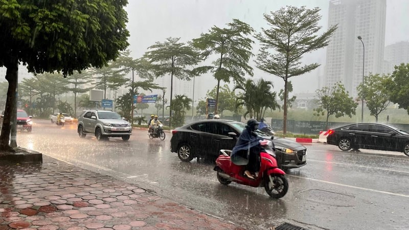
Heavy rain and thunderstorms are forecast to continue this afternoon and tonight, with the possibility of tornadoes, lightning, hail and strong gusts of wind. The meteorological agency warns of the risk of flash floods on small streams and rivers, landslides on steep slopes and flooding in low-lying areas. The level of disaster risk due to tornadoes, lightning and hail is assessed at level 1.
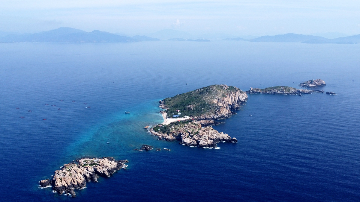
Dangerous sea weather
In the sea area, scattered showers and thunderstorms are occurring in the South China Sea (including Truong Sa special zone), the sea area from Lam Dong to Ca Mau and the Gulf of Thailand. It is forecasted that during the day and night of July 14, these areas, the northern part of the Gulf of Tonkin and the sea area from Ca Mau to An Giang will continue to have showers and thunderstorms.
During thunderstorms, there is a risk of tornadoes, strong gusts of wind and waves over 2m high, posing a risk to vessels operating in these areas. Crews are advised to take extra safety precautions and closely monitor weather forecasts.
Recommendations
People in affected areas should be vigilant and avoid traveling through flooded areas or steep slopes at risk of landslides. Boats operating at sea should be well prepared to deal with tornadoes and strong gusts of wind. The meteorological agency will continue to update information to support people and authorities in responding promptly.
Source: https://baonghean.vn/canh-bao-mua-to-lu-quet-va-sat-lo-dat-tai-nhieu-khu-vuc-vao-chieu-va-dem-14-7-10302262.html


Comment (0)