
Restructuring the development space of the Capital City
This is considered a strategic shift in the thinking behind the 100-year master plan for Hanoi, opening up new development spaces, reducing pressure on the inner city, and forming new growth drivers based on the advantages of each area, linked to science and technology, logistics, airport cities, innovation, and the green economy .
According to this latest planning orientation, Hanoi will develop according to a multi-polar, multi-center urban model instead of a model concentrated in the inner core. In this model, the city establishes nine growth poles, each with its own role, function, and development driver, creating a more balanced regional network and development space for the capital in the future.
Firstly , the central pole - the historical and expanding inner city area (right bank of the Red River): The cultural, historical, and political pole (the core political, administrative, financial, and cultural hub of the Capital; developing a sports city, establishing the Nhuệ River as a strategic multi-purpose green axis: integrating natural ecosystems, regulating hydrology and green transportation infrastructure, playing the role of a leading landscape corridor guiding space from the periphery to the central urban core).
Secondly, the northernmost area (formerly Dong Anh - Me Linh - Soc Son): The integration dynamic hub (a service city, international trade, finance, and logistics connected to Noi Bai International Airport; a free trade zone; and a high-tech industrial center).
Thirdly, the easternmost area (formerly Gia Lam - Long Bien district): A dynamic gateway and commercial service hub (developing regional-scale commercial complexes, inland container depots (ICDs), and modern logistics centers connected to National Highway 5 and the Hanoi - Hai Phong expressway, linking the capital with the eastern economic triangle (Hai Phong - Quang Ninh).
Fourth, the southernmost point (belonging to the former Phu Xuyen - Ung Hoa region): Industrial and Logistics Dynamics Center (logistics city - high-tech industry, healthcare, inter-regional services, multimodal transport hub connected to the second airport south of Hanoi, high-speed rail, river port).
Fifth, the southernmost, southwesternmost point is the Van Dinh - Dai Nghia urban area: an ecological landscape urban area on both sides of the river and a heritage and religious site associated with the second airport south of Hanoi.
Sixth, the southwesternmost point (belonging to the former Xuan Mai - Chuong My area): An urban area for education, training, and healthcare, combined with ecological resorts.
Seventh, the westernmost point (Hoa Lac): A science and technology, innovation and education city, and a free trade zone. The focus is on the Hoa Lac High-Tech Park and Hanoi National University. It is linked to the development axis connecting the western provinces (Phu Tho, Son La, etc.).
Eighth, the far northwest (Son Tay - Ba Vi urban area): A historical and cultural urban area, a resort tourism destination connected to the national forest, Tan Mountain - Da River, and with security and defense functions; connecting with the urban areas of Vinh Yen, Vinh Phuc, and Viet Tri - Phu Tho.
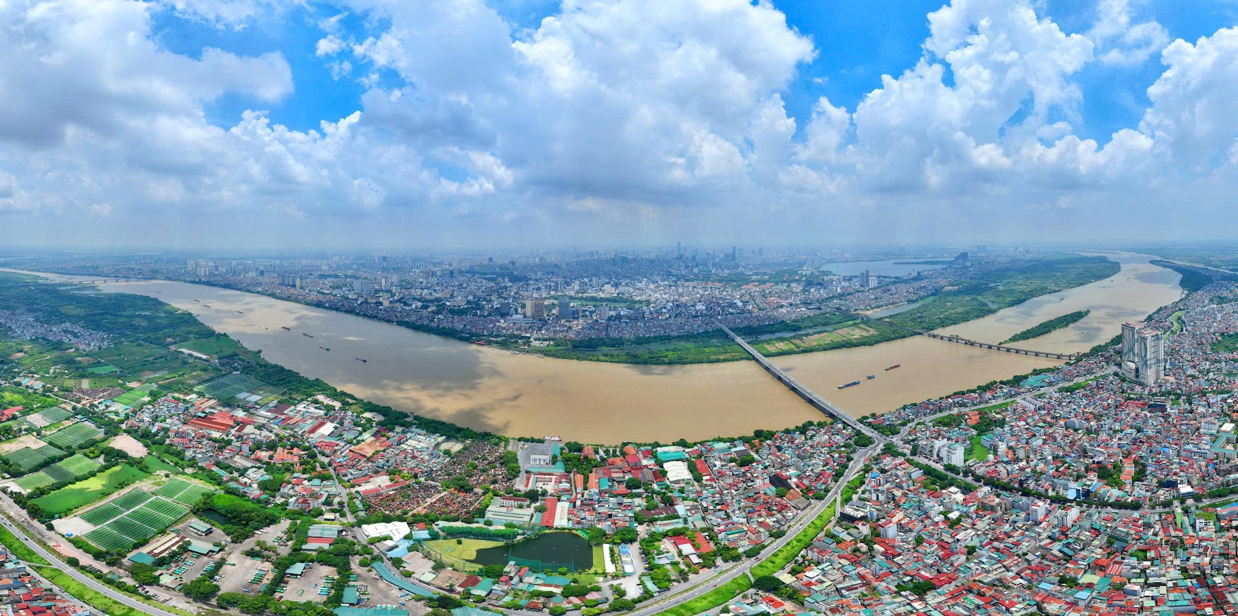
Ninth, the Red River Delta: This is a development hub and a unique, multi-functional landscape space; it is a center for culture, finance, commercial services, tourism, and a new driving force for the development of the Capital.
According to this latest planning orientation, the core center remains the nucleus of Hanoi's growth, encompassing the historical inner city and the expanded space on the right bank of the Red River. This will be the cultural, historical, and political hub of the capital, concentrating core administrative, financial, and cultural functions; while simultaneously developing a sports city and forming a strategic green axis along the Nhuệ River, acting as a landscape corridor connecting urban spaces from the periphery to the center.
Nine driving forces open up new development space.
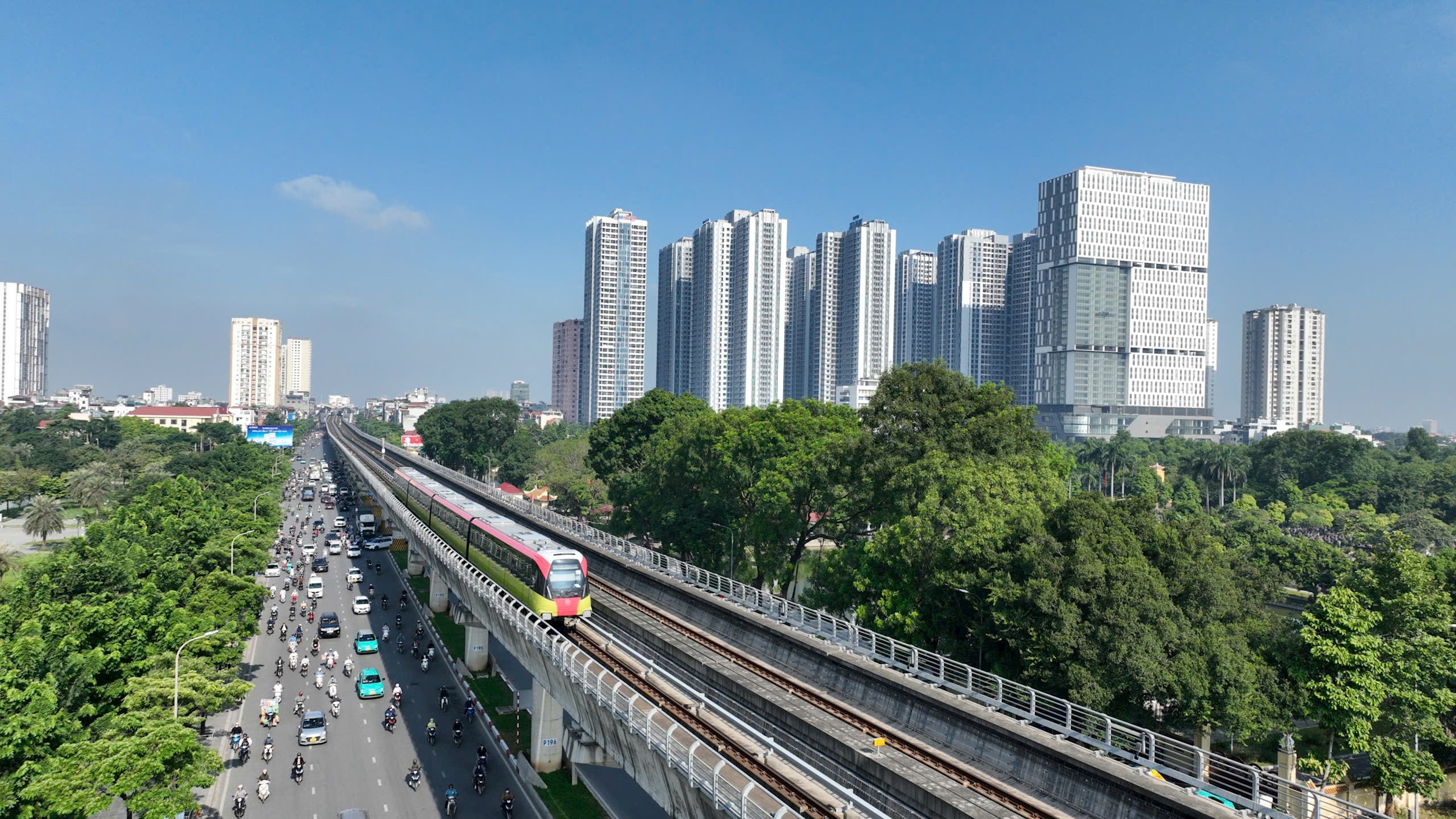
Along with the system of growth poles, Hanoi has also established 9 strategic driving axes to restructure urban space and create new economic development corridors. Among them, the Nhat Tan - Noi Bai and Bac Thang Long - Noi Bai axes are considered the "backbone" of the northern urban area, linked to the airport city model and the capital's gateway for international integration.
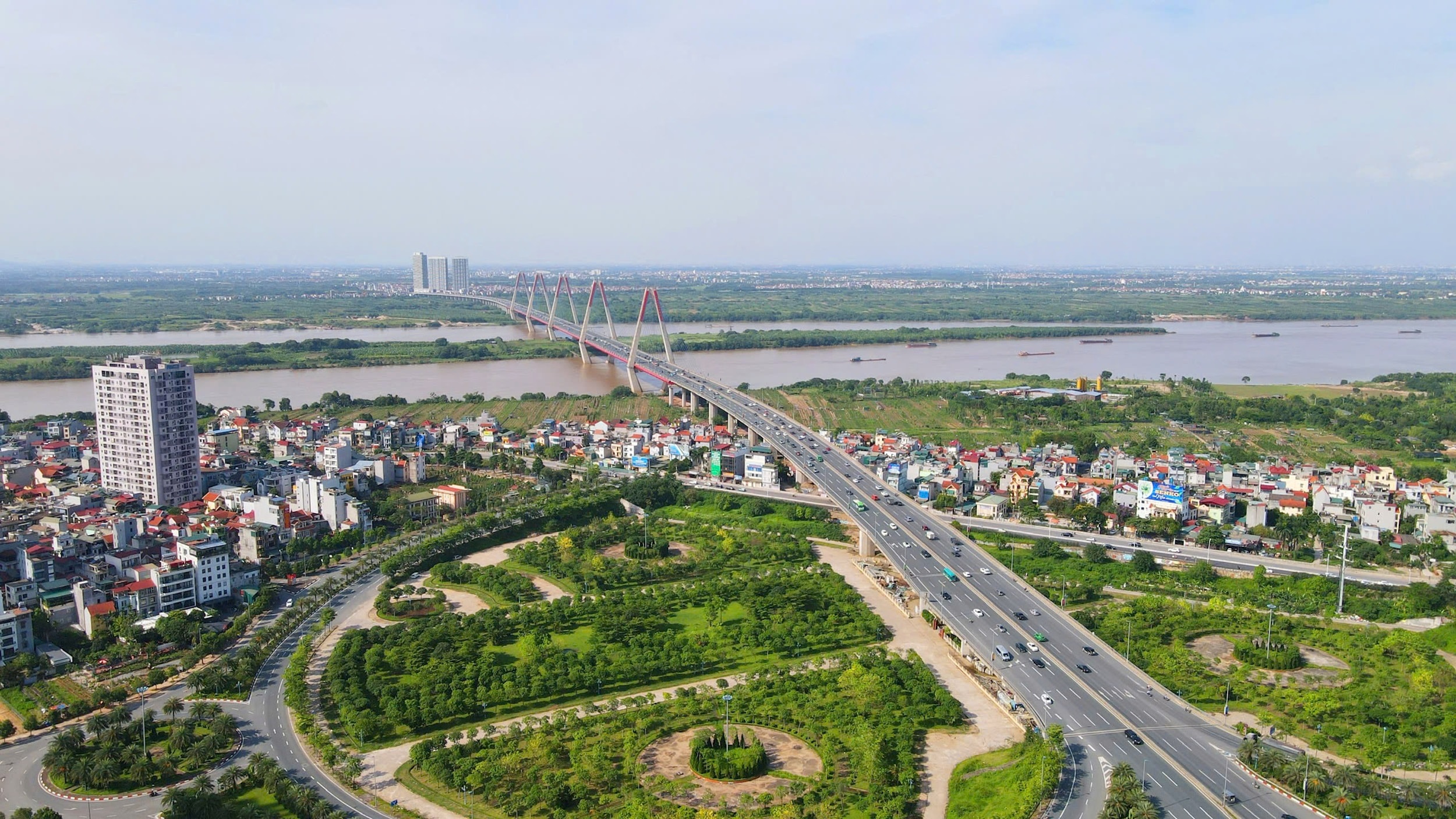
The West Lake - Co Loa - Gia Binh Airport axis is envisioned to become a corridor for the development of a creative urban area, finance, and high technology, connecting Hanoi with Bac Ninh and other major economic corridors in the Northeast.
National Highway 5 and the Hanoi-Hai Phong Expressway will continue to play a key role as a smart logistics, trade, and service corridor connecting Hanoi with the international seaport system in the North. Meanwhile, in the South, National Highway 1A and the Phap Van-Cau Gie Expressway are planned to become a supporting industrial, logistics, and multimodal transport corridor connecting Hanoi with the Southern economic region.
Notably, Hanoi has also shaped several distinctive cultural and ecological development axes, such as the National Highway 21B - National Highway 21C axis connecting Thang Long Imperial Citadel, Temple of Literature - National University with Huong Tich - Bai Dinh; the Thang Long Boulevard - West Lake - Ba Vi axis connecting the cultural spaces of Thang Long - Xu Doai; or the Red River Scenic Boulevard axis, considered a new symbolic space of Hanoi representing "Culture - Identity - Creativity".
According to urban planning experts, the "9 poles - 9 centers - 9 driving axes" structure not only expands Hanoi's development space but also helps redistribute the population, reduce pressure on infrastructure in the urban core, create new growth drivers, and enhance the capital's competitiveness in the coming period.
Notably, Hanoi's new development model is no longer based solely on urban expansion but is strongly shifting towards development based on science and technology, innovation, the digital economy, modern logistics, and regional connectivity.
While Hanoi previously developed primarily through "centralization," the city is now moving towards a network urban structure with multiple dynamic centers closely linked together through strategic transportation infrastructure, digital data, and a modern urban operating system.
According to Nguyen Duc Hung, Deputy Director of the Hanoi Institute of Construction Planning, one of the fundamental changes in this planning is the shift in the development model from a unipolar to a multipolar one, restructuring urban space towards a multi-layered, multi-tiered, and multi-centered approach. "This plan defines nine centers, nine development poles, and nine new growth spaces, linked by a system of development corridors," Mr. Nguyen Duc Hung stated.
As Hanoi enters a new phase of development with the goal of becoming a global city, a center of innovation, and a national growth engine, the formation of nine development poles is seen not only as a matter of spatial planning but also as a comprehensive reconstruction of the capital's development model for the coming decades.
Source: https://hanoimoi.vn/dong-luc-moi-dinh-hinh-khong-gian-thu-do-tuong-lai-1019480.html
![[Photo] General Secretary and President To Lam presides over a meeting on preparations for the review of one year of operation of the three-tiered government system.](https://vphoto.vietnam.vn/thumb/1200x675/vietnam/resource/IMAGE/2026/06/02/1780391821195_a1-bnd-4595-9717-jpg.webp)


Comment (0)