
From the 18th century, when the expansion of the territory southward deepened its administrative scope, Nguyen Huy Quynh's Quang Thuan Historical Collection was published, describing the administrative geography and sketching maps of roads, post stations, mountains, rivers, and the sea. In it, Quang region emerged as a crucial section of the main highway, a crossroads between North and South, with mountains bordering the sea and rivers running parallel to the main road.
The ancient highway through Quang Nam province, from Nam O to Cam Sa, from Da Son, Phuoc Tuong to Cam Le, was once built and constructed according to the terrain, almost coinciding with the direction of today's National Highway 1. It was the road of postal horses and porters, carrying news, imperial decrees, and the pulse of history.
During the Nguyen dynasty, along the postal route from the imperial capital of Hue to the South, Quang Nam was a region with a high density of postal stations, forming a system often referred to as "Quang Nam Seven Stations".
The station was where messengers changed horses, transferred personnel, and delivered letters. But more profoundly, the station was where central power touched local lands, where the imperial court "made its presence" in villages far from the capital through decrees and edicts...
Thanks to the stations, orders were not interrupted; thanks to the stations, the border regions did not fall off the national axis. But beyond its administrative function, the stations gradually became places where memories accumulated. There, people met, and history left its mark. Viewed in that light, Quang Nam - Da Nang can be seen as a large series of stations in history.
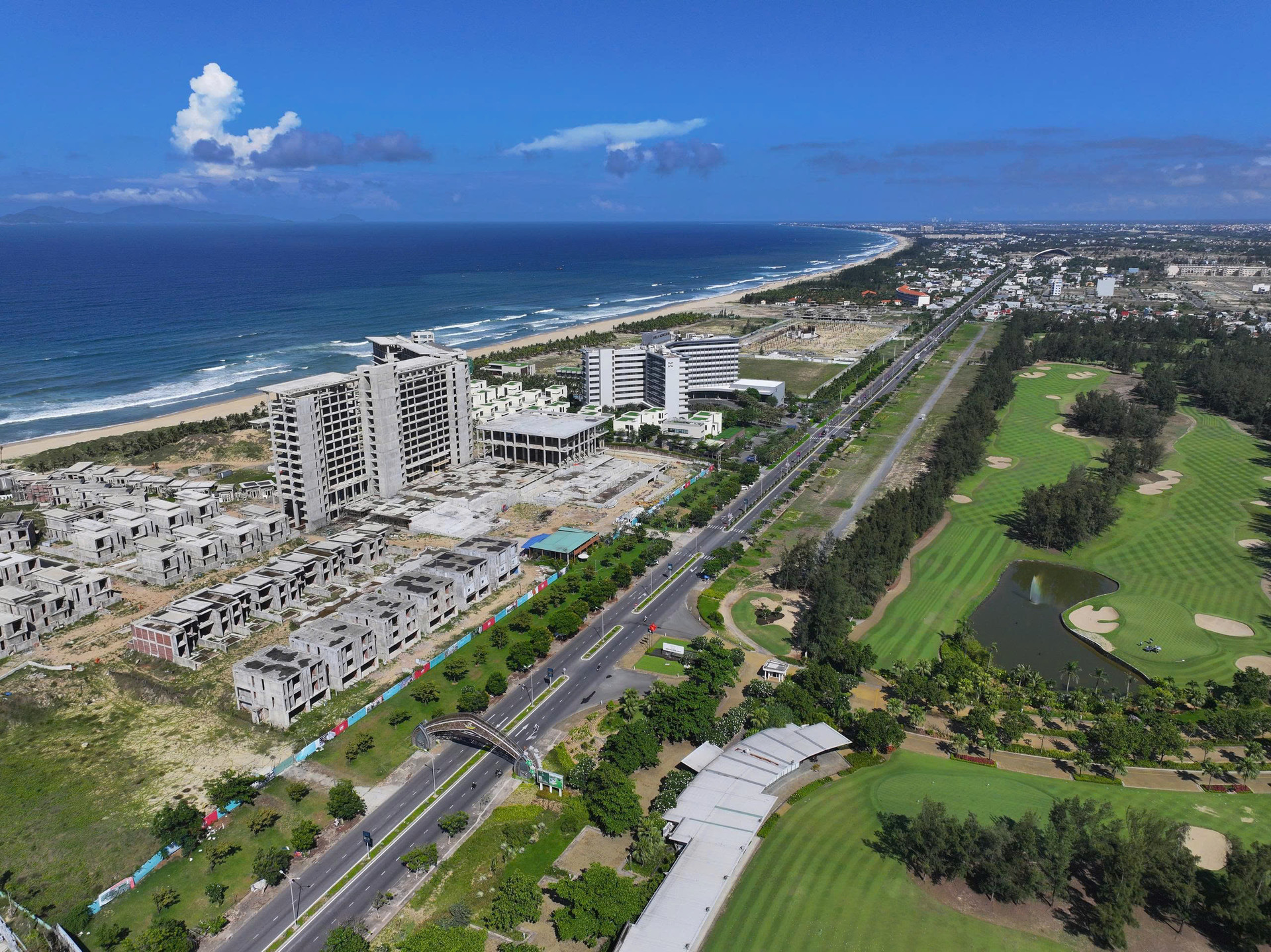
Hai Van Pass is a transit station between Hue and Quang Nam provinces. Descending from the pass is the coastal station - formerly Da Nang, Tourane during the French colonial period.
Further inland lies Hoi An, a significant trading hub from the 17th and 18th centuries. At this hub, state orders ran parallel to market regulations, as foreign merchants arrived in the bustling port on their trading ships. This parallelism created a Hoi An that valued trustworthiness, accustomed to structured rules but without rigidity. Hoi An served as a bridge between domestic and international affairs, between government power and the well-being of the people.
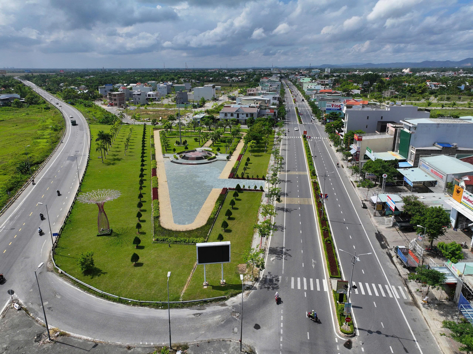
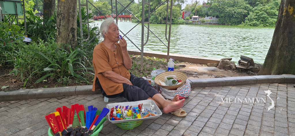
In the southernmost part of present-day Da Nang, traces of the word "station" still remain in place names. The name "Trạm Market" in Tam Hiep, Nui Thanh, suggests it was once an important stop on the old North-South transportation route. While there is no documentation confirming it was an administrative post, it likely served as a temporary space where the flow of traffic blended with daily life, a meeting point for people, news, and goods.
In the traditional transportation system, land-based stations rarely stood alone. They were usually connected to waterways, ferry crossings, or rivers and swamps. Horse-drawn relays carried official orders to a point, from where they could be further transported by boat or ferry. Therefore, alongside land routes was a system of river stations along the Cau Do, Qua Giang, Thu Bon, and Truong Giang rivers… Boats and ships carried letters, food, and military supplies up and down the river.
Rivers are checkpoints without gates or guards, yet they are resilient and effective. Along these rivers, the people of Quang Nam have developed a belief in worshipping water deities, not only out of fear of natural disasters, but also because they understand that rivers are the flow of life. These waterways remind us that disrupting the flow of water is also severing the thread of historical memory.
Evidence of the meeting of the two waterways – land and water – can be seen near Tram Market, where the Tram River flows. These small rivers and tributaries, though not as large as the Thu Bon River, played a crucial role in connecting and transporting people, goods, and information from the land border post to the larger rivers, flowing downstream towards Ky Ha and Truong Giang. Therefore, "Tram River" can be understood as the waterway that served the border post – a part of the logistics and transportation network of the past.
Heading toward Dốc Sỏi, bordering Quảng Ngãi , traces of the station, like Nam Vân, mark the end of the "Seven Stations of Quảng Nam" series. There, the station was not just a point of intersection, but a boundary, a place where messengers knew they were about to leave one area to make a transition to another. These final stations often carried a sense of farewell – a farewell to the geographical boundaries, accents, and customs – before history continued its journey.
Looking at the vast landscape of today, the area from Hai Van to Doc Soi, from the sea to the forest, across the rivers, with its network of riverside and coastal trade, can be seen as a major historical and cultural hub. These hubs, carrying the memories of the sea, rivers, villages, and towns, are stopping points for reflection on the heritage passed down from our ancestors to future generations, for building a new city rich in identity, with a chain of local values connected to the nation and the world.
Da Nang today, within the newly merged city space, remains a central hub coordinating the economy and culture of the entire region. It is an open hub, but also faces significant challenges in preserving the depth of its cultural and historical identity.
"Quang Nam's Seven Stations," originally an administrative concept of the Nguyen Dynasty, turns out to be a profound metaphor for how this land has existed: always on the path of history, always having a "station" to stop and transition, to shoulder the mission of being a "strategic choke point," to connect the development of an entire realm.
Source: https://baodanang.vn/nghiem-ve-nhung-tram-dung-3324609.html

![[Photo] National Assembly Chairman Tran Thanh Man arrives in Türkiye to attend IPU-152](https://vphoto.vietnam.vn/thumb/1200x675/vietnam/resource/IMAGE/2026/04/15/1776261003665_tnk10-jpg.webp)
![[Photo] My Son at night: A thousand-year-old heritage site amidst the Milky Way](https://vphoto.vietnam.vn/thumb/1200x675/vietnam/resource/IMAGE/2026/04/15/1776261039184_ndo_br_chon6-jpg.webp)
![[Photo] The General Secretary, President and his wife meet with Vietnamese-Chinese friendship leaders.](https://vphoto.vietnam.vn/thumb/1200x675/vietnam/resource/IMAGE/2026/04/15/1776264829725_vna-potal-tong-bi-thu-chu-tich-nuoc-to-lam-gap-mat-nhan-sy-huu-nghi-viet-nam-trung-quoc-8703641-3130-jpg.webp)
![[Photo] National Assembly Chairman Tran Thanh Man attends the opening session of IPU-152](https://vphoto.vietnam.vn/thumb/1200x675/vietnam/resource/IMAGE/2026/04/16/1776277863731_ctqh5-jpg.webp)
![[Photo] Mrs. Ngo Phuong Ly meets and exchanges views with Mrs. Peng Li Yuan](https://vphoto.vietnam.vn/thumb/1200x675/vietnam/resource/IMAGE/2026/04/16/1776277858080_phu-nhan-1-jpg.webp)


Comment (0)