

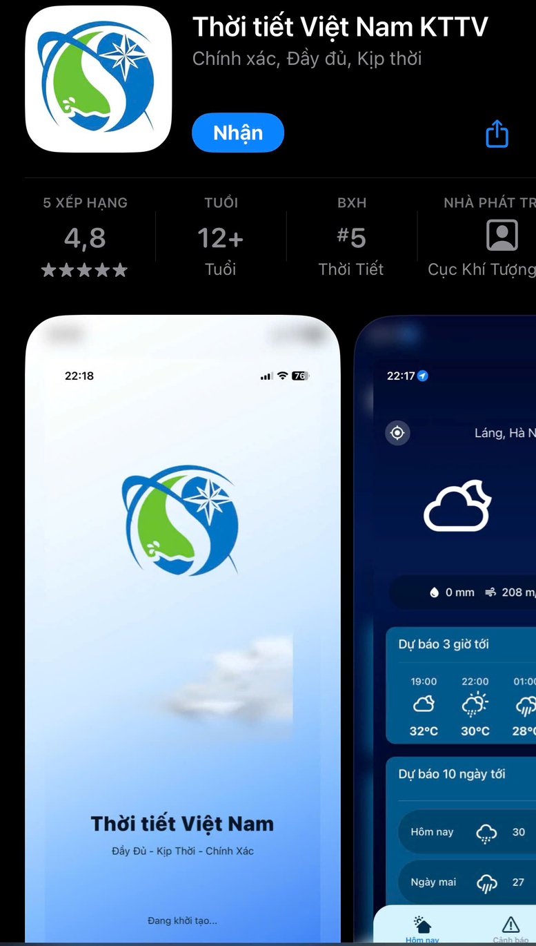
The application is designed to utilize accurate and up-to-date data sources, thereby enhancing the reliability of weather forecasts.
On April 8th, the Department of Meteorology and Hydrology (DMH) under the Ministry of Agriculture and Environment announced that, in the context of increasingly complex climate change and rising frequency and intensity of natural disasters, the need for people to access real-time meteorological information has become more urgent than ever. Therefore, the DMH has developed the Vietnam Weather mobile application – a technological product that brings meteorological scientific knowledge directly to every citizen.
The application was developed with the goal of using accurate and up-to-date data sources, thereby enhancing the reliability of weather forecasts and effectively serving management, production, and daily life. From here, people can access official weather information from the state meteorological agency directly on their phones, updated every 10 minutes.
Weather data platform from over 2,600 observation stations.
The main application boasts superior quality and a massive scale of input data. Instead of relying solely on low-resolution global forecasting models, the application has made a breakthrough by seamlessly integrating multiple in-depth local data sources.
The system records real-time field observation data from a network of over 2,600 automatic rain gauge stations nationwide. Importantly, this data source is further optimized through rainfall estimation technology from 8 modern weather radar stations, allowing for close monitoring of rainfall patterns minute by minute. In addition, parameters such as temperature, humidity, cloud cover, and wind are continuously updated, combined with advanced numerical models and forecast and warning bulletins from the National Center for Meteorological and Hydrological Forecasting; and forecast and warning bulletins on dangerous meteorological and hydrological phenomena from the National Center for Meteorological and Hydrological Forecasting and other meteorological and hydrological stations.
The app also provides detailed weather forecasts for up to 10 days for locations across Vietnam.
The application's groundbreaking feature lies in its highly sensitive system for warning about natural disasters and dangerous weather. All unusual weather events, from widespread thunderstorms, lightning strikes, landslides, flash floods, tropical depressions to strong winds at sea, are continuously updated from official data sources of the National Center for Meteorological and Hydrological Forecasting and meteorological stations, and are prominently displayed on the main interface.
To optimize user protection, the application has added a real-time lightning warning feature. The system uses data from the lightning detection network to detect areas with strong electrical activity early, thereby providing timely notifications to help users proactively respond to any extreme weather situations.
In particular, the application has successfully integrated a real-time flash flood and landslide warning feature based on the user's location. Risk points are indicated by a system of icons according to specific geographical locations, clearly classified into three levels: Medium, High, and Very High. With just a tap on the icon, users can instantly access detailed news along with specific action recommendations to ensure safety.
According to the Department of Meteorology and Hydrology, in the coming time, the Department will coordinate with other units to continue researching, updating, and supplementing rain warning maps, storm warning maps, and other products to diversify functions and meet the higher needs of the community.
Thu Cuc
Source: https://baochinhphu.vn/ra-mat-ung-dung-canh-bao-thoi-tiet-nguy-hiem-10226040816452218.htm

![[Image] Hanoi's urban life under the challenge of a "scorching hot" environment](https://vphoto.vietnam.vn/thumb/1200x675/vietnam/resource/IMAGE/2026/05/25/1779706979265_nang-nong-t5-2026-minh-duy-7-4636-jpg.webp)


![[Image] Close-up view of the interchange connecting the two expressways and Long Thanh Airport.](https://vphoto.vietnam.vn/thumb/1200x675/vietnam/resource/IMAGE/2026/05/25/1779703378210_ndo_br_z7863716673926-224453a31600126cce10622af6290afd-4549-jpg.webp)


















































































Comment (0)