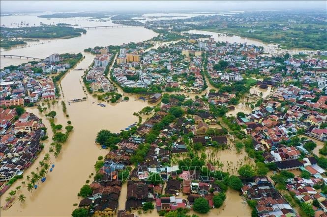
According to the National Center for Hydro-Meteorological Forecasting, on November 1st, a tropical depression was active in the area east of the Philippines, located at approximately 9.9N-138.4E at 1 PM. Current forecasts indicate that the tropical depression has the potential to strengthen into a typhoon between the night of November 1st and the morning of November 2nd.
Around November 5th, the storm will enter the South China Sea and become typhoon number 13. It is predicted to be a strong typhoon in the South China Sea, potentially reaching over level 12 in the Truong Sa (Spratly) Islands area.
Around November 7th, the storm is expected to move inland into Vietnam. The key area to be directly affected is from Da Nang City to Khanh Hoa . The storm may cause strong winds and heavy rain in the Central and South Central provinces and the Central Highlands from the night of November 6th to November 9th, 2025.
Please note that the storm has not yet formed and is still affected by many large-scale factors in the coming days, as well as the impact of the terrain when it makes landfall in the Philippines. Therefore, scenarios regarding the intensity, direction of movement, and areas directly affected by Typhoon No. 13 still need to be monitored and updated with new observation and forecast data.
Source: https://baohaiphong.vn/bien-dong-sap-don-con-bao-so-13-525324.html


Comment (0)