
Speaking to Thanh Nien on August 26 , Mr. Mai Van Khiem, Director of the National Center for Hydro-Meteorological Forecasting, said that storm No. 5 is very special, dangerous and has unusual developments when operating at sea as well as on land.
Storm No. 5 will make landfall in the provinces of Ha Tinh and Nghe An for 10 hours on the evening and night of August 25.
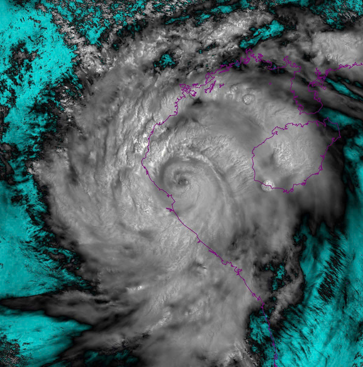
PHOTO: NCHMF
Storm No. 5 (Kajiki) formed in the East Sea, moving very fast. During most of the time at sea, the storm often moved at a speed of 20 - 25 km/hour, increasing in intensity very quickly.
Previously, on the evening and night of August 22, when it first entered the East Sea, storm No. 5 was a tropical depression with strong winds of level 6 - level 7. By the morning of August 23, the tropical depression strengthened into a storm.
Just over 24 hours later, on the afternoon of August 24, the storm had strengthened to level 14. Thus, storm No. 5 had strengthened to level 8 in just 2 days, this is also a storm with a very short life cycle.
"The storm formed on August 23 and made landfall on August 25, meaning the life cycle of this storm is only about 3 days," said Mr. Khiem.
Heavy damage after storm No. 5: 3 dead, 7 provinces suffer widespread power outage
Another special and unusual feature is that storm No. 5 has a very wide circulation, almost covering the entire East Sea, causing widespread rain from the North to the Central region. In particular, the heaviest rain is concentrated in the Thanh Hoa - Ha Tinh area.
In particular, when approaching the Central coast, the storm suddenly slowed down and at times almost stood still for more than 3 hours, causing strong winds on land.
"When making landfall, storm No. 5 continued to move very slowly and lingered on land for about 10 hours, which increased the storm's danger level," said Mr. Khiem.
Mr. Khiem also said that storm No. 5 was at its maximum strength before making landfall, at level 14, gusting to level 17, equivalent in strength to storm Yagi (storm No. 3 in 2024) and stronger than storm Doksuri (storm No. 10 in 2017).
Also according to the National Center for Hydro-Meteorological Forecasting, this morning, August 26, the tropical depression weakened from storm No. 5 and moved to Laos. The strongest wind near the center of the tropical depression is level 6, gusting to level 8; the depression moves west-northwest at a speed of about 20 km/hour.
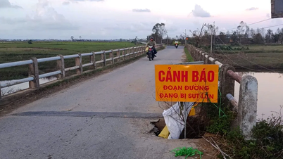
Due to the influence of the weakening tropical depression from storm No. 5, heavy rains in the Northern Delta and midlands, Son La, Lao Cai, Thanh Hoa and Nghe An; strong winds and big waves in the Gulf of Tonkin will continue in the coming days. In particular, the mountainous areas of Thanh Hoa, Nghe An and the Northern midlands are at very high risk of flash floods and landslides.
Thanhnien.vn
Source: https://thanhnien.vn/di-thuong-bao-so-5-3-gio-dung-yen-10-gio-quan-thao-dat-lien-185250826145355484.htm


Comment (0)