

According to Futurism, these Kelvin waves, known as the Kelvin current, have a temperature 7.5 degrees Celsius higher than the average in some deep-sea regions, trapping a large amount of heat in the middle of the ocean. These warm ocean waves threaten to trigger one of the strongest El Niño events ever recorded later this year, with ripple effects on global climate patterns in 2027, increasing the risk of droughts, floods, and record-breaking heatwaves.

Kelvin waves are moving warm ocean water from the Western Pacific across 14,484 kilometers to the west coast of South America. Michelle L'Heureux, a physicist at the National Oceanic and Atmospheric Administration (NOAA) Climate Prediction Center, estimates that current Kelvin waves could be comparable to those of 1997. The 1997-1998 Super El Niño caused global damage estimated at $96 billion at the time.
According to the Washington Post, Kelvin waves were discovered in 1879 by scientist Lord Kelvin. These waves are influenced by winds blowing across warm ocean currents from west to east across the Pacific Ocean. The first key factor in the formation of Kelvin waves is the large volume of water from the Western Pacific Warm Waters located east of Indonesia. Water temperatures in this area are typically high due to easterly trade winds causing warm water to accumulate, resulting in the ocean surface near Indonesia being 0.3-1 meter higher than off the coast of Ecuador.
Every few years, the easterly trade winds weaken. In extreme cases, they reverse direction and begin blowing from the west at speeds of about 24 km/h for several weeks, known as a westerly outburst. These winds provide the energy needed to form Kelvin waves by putting pressure on the ocean surface, causing warm water to move eastward as the waves propagate across the Pacific. The boundary separating warm surface water from cooler, deeper water shifts closer to the surface as heat shifts from the warm waters of the Western Pacific toward South America.
Kelvin waves don't crash onto beaches but move slowly beneath the surface of the Pacific Ocean, taking 2-3 months to traverse the basin. This can weaken upwelling (the process by which wind stirs cooler seawater from deeper waters to the surface). Without a supply of cool water, the surface seawater gradually warms, and El Niño begins to appear. However, L'Heureux notes that although this year's Kelvin waves are very strong, researchers are still uncertain about the intensity of this year's El Niño event.
According to Fox News, El Niño is the warm phase of El Niño-Southern Oscillation (ENSO), occurring every few years and characterized by above-average sea surface temperatures in the central and eastern Pacific Ocean. El Niño disrupts normal wind and rainfall patterns, causing widespread changes to global weather and climate. The term super El Niño refers to an extremely strong El Niño event where sea surface temperatures in the central and eastern Pacific Ocean rise by more than 2°C above historical averages.
( According to vnexpress.net )
Source: https://baodongthap.vn/dong-nuoc-am-cung-cap-suc-manh-cho-sieu-el-nino-a241218.html
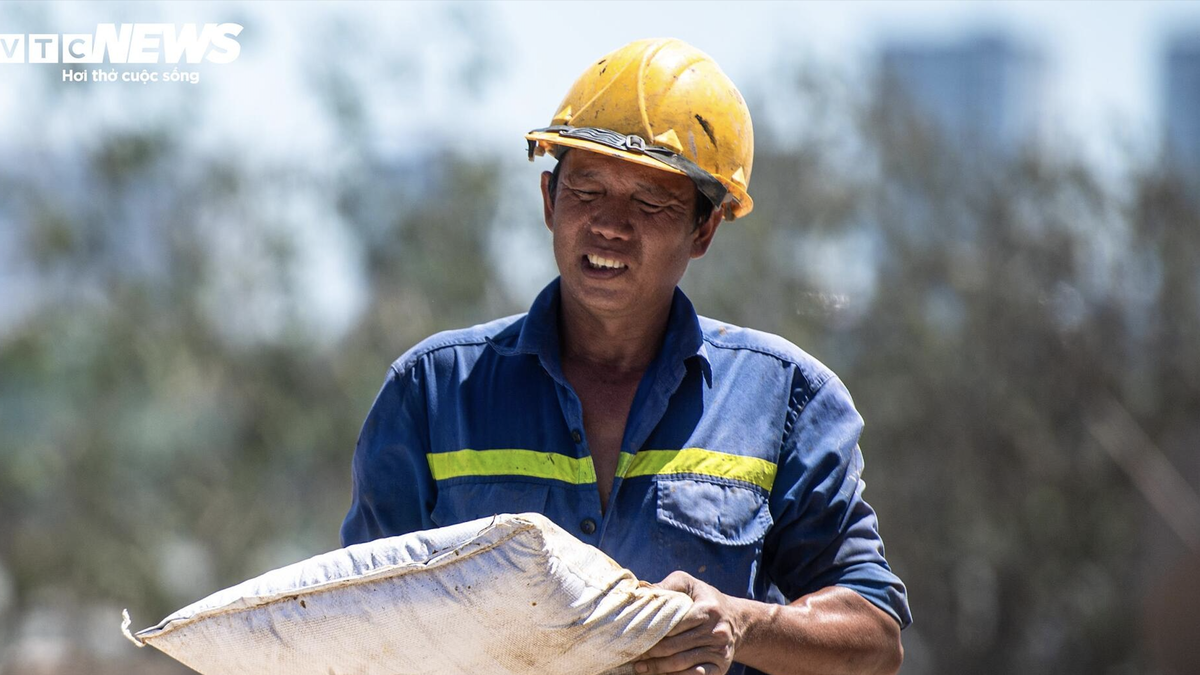

![[Image] Hanoi's urban life under the challenge of a "scorching hot" environment](https://vphoto.vietnam.vn/thumb/1200x675/vietnam/resource/IMAGE/2026/05/25/1779706979265_nang-nong-t5-2026-minh-duy-7-4636-jpg.webp)
![[Image] Close-up view of the interchange connecting the two expressways and Long Thanh Airport.](https://vphoto.vietnam.vn/thumb/1200x675/vietnam/resource/IMAGE/2026/05/25/1779703378210_ndo_br_z7863716673926-224453a31600126cce10622af6290afd-4549-jpg.webp)












































































Comment (0)