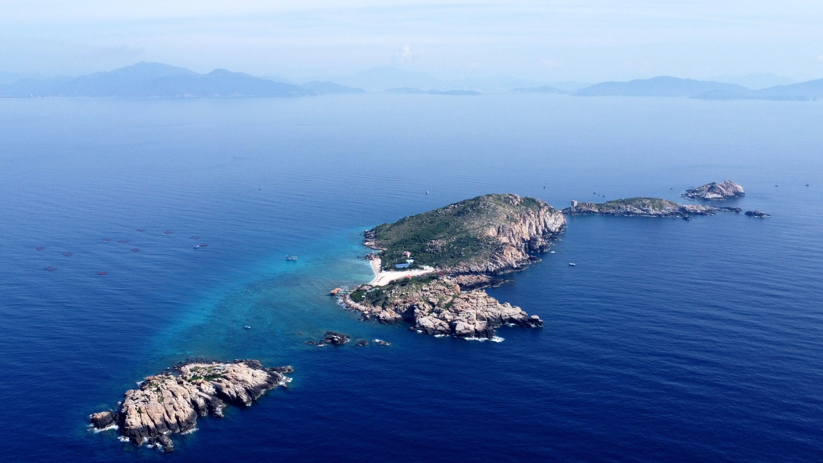
Before the end of the Ho Chi Minh Campaign in 1975, our Party and State made a historic decision: Liberating the Truong Sa archipelago, maintaining Vietnam's position in the East Sea. After the country was unified, on May 12, 1977, the Government issued a Declaration on Vietnam's maritime zones. This was one of the earliest declarations in the Southeast Asian region. Then, on November 12, 1982, the Government issued a Declaration on the baselines for calculating the breadth of Vietnam's territorial waters, opening a new page in the history of advancing to the sea, exercising our country's sovereignty , sovereign rights and jurisdiction at sea.
The Resolution of the 9th National Assembly, 5th Session on ratifying the 1982 United Nations Convention on the Law of the Sea clearly stated: “The Government's consistent stance affirms Vietnam's sovereignty over the Hoang Sa and Truong Sa archipelagos, and advocates resolving disputes over territorial sovereignty as well as other disputes related to the East Sea through peaceful negotiations in the spirit of equality, understanding and respect for international law, especially the 1982 United Nations Convention on the Law of the Sea.”
Over the past year, the Government, scientists, military, politicians , scholars, and news agencies and newspapers of many countries have unanimously condemned China's actions violating Vietnam's sovereignty over the sea and continental shelf. This is the most widespread wave of public opinion directed at China since the country implemented its rising policy, causing tension in the region - one of the main causes; at the same time, it is a potential risk, causing instability in security, even armed conflicts in the seas and islands in the East Sea. Therefore, more than ever, the work of information, propaganda, education, and political orientation for cadres, party members and people of all walks of life about the sense of responsibility to protect the sacred territorial sovereignty of the Fatherland is extremely important and urgent.
Based on the importance and urgency mentioned above, the Ministry of Information and Communications has coordinated with the People's Committees of provinces and cities to organize the Exhibition of maps and display of documents "Hoang Sa, Truong Sa of Vietnam - Historical and legal evidence", thereby contributing to raising awareness, solidarity, sense of responsibility of all classes of people, especially young people in protecting and affirming Vietnam's sovereignty over Hoang Sa and Truong Sa archipelagos through published historical documents.
The maps and documents displayed at the exhibition are historical evidence and legal basis showing that our country, from the feudal period to the present, has explored, established, enforced and protected national sovereignty over the Hoang Sa and Truong Sa archipelagos and many other seas and islands belonging to Vietnam's territory. This is a continuous, long-term, peaceful process, recorded from many historical sources of Vietnam and other countries, especially documents and maps compiled and published from the 16th century to the present in Vietnam and many countries around the world. With many documents, texts, artifacts, publications and nearly 100 maps on display, it is a collection of previously published sources of domestic and international researchers and scholars.
The exhibition includes main groups of documents: Versions of Han Nom documents, Vietnamese and French documents issued by the Vietnamese feudal court and the French government in Indochina, on behalf of the contemporary Vietnamese State, from the 17th century to the early 20th century, affirming the process of establishing, implementing and protecting Vietnam's sovereignty over the Hoang Sa and Truong Sa archipelagos. In particular, the Nguyen Dynasty's administrative documents (from the Gia Long dynasty to the Bao Dai dynasty) issued directly related to the issue of exploitation, management, establishment and implementation of sovereignty over the two archipelagos under the Nguyen Dynasty (1802-1945); versions of administrative documents issued by the Republic of Vietnam government in South Vietnam during the period 1954-1975 continue to affirm the process of administrative management, implementation and protection of Vietnam's sovereignty over the two archipelagos; The versions of administrative documents of the Socialist Republic of Vietnam issued from 1975 to present continue to affirm and protect Vietnam's sovereignty over the Hoang Sa and Truong Sa archipelagos and other seas and islands belonging to Vietnam's territory.
In addition, there are a number of documents and publications compiled and published by Western countries from the 18th to the 19th century related to Vietnam's sovereignty over the two archipelagos; a number of documentary images about the process of implementing and protecting Vietnam's sovereignty over the Hoang Sa and Truong Sa archipelagos from the 1930s to the "Hoang Sa Naval Battle" on January 19, 1974; a letter from Admiral Tran Van Chon - Commander of the Navy of the Republic of Vietnam, sent to Ms. Le Kim Chieu, a relative of Captain Huynh Duy Thach who died in the "Hoang Sa Naval Battle"; a collection of 65 maps proving Vietnam's sovereignty over the two archipelagos published by Vietnam and the West from the 17th century to the present; research works and publications by Vietnamese and foreign scholars on Vietnam's sovereignty over the two archipelagos published from 1975 to the present; The Atlas was compiled by Philippe-Vandermaelen (1795-1869), a Belgian geographer and founder of the Royal Belgian Geographical Institute. This is an invaluable document, not only in terms of academics but also of legal value, adding to the dossier proving Vietnam's sovereignty over the Hoang Sa and Truong Sa archipelagos.
In addition, there is a collection of 4 atlases and 30 maps published and distributed by Chinese governments throughout historical periods, showing that China did not control these two archipelagos. The most notable of these are the 4 atlases published by the Qing Dynasty and the Republic of China Government, including: China Atlas 1908, China Complete Map 1917, China Postal Map 1919, China Postal Map 1933. These atlases show that China's southernmost border is always limited to Hainan Island, without any mention of the Paracel and Spratly Islands. This proves that when the Qing Dynasty published these atlases in 1908 and later, the Republic of China government republished the atlases in 1917, 1919 and 1933, the Paracel and Spratly Islands were still outside the so-called "historical sovereignty of China" as they still claim today.
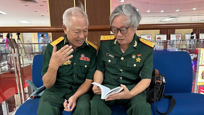
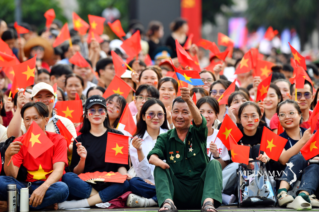
The exhibitions and displays of documents "Hoang Sa, Truong Sa of Vietnam - Historical and legal evidence" were all carried out very vividly through images, documents, artifacts,... expressing the aspirations of the Vietnamese people in the struggle to protect sovereignty and territorial integrity, so they received special attention from the Party, State, armed forces, political and social organizations, attracting the attention and follow-up of many classes of people in the country, overseas Vietnamese with practical actions, joining hands to protect the sovereignty of the homeland's seas and islands. Movements and programs of activities towards Hoang Sa, Truong Sa have been carried out nationwide such as Nghia tinh Hoang Sa, Truong Sa; Millions of hearts towards the homeland's seas and islands;...
The province has been transferred by the Ministry of Information and Communications all versions of exhibits displayed in the exhibition in Long An to organize widespread exhibitions in the province's localities. This is a valuable source of documents stored for scholars, researchers, readers and members of Steering Committee 35 to study, research, and contribute to propagating and fighting against the wrong viewpoints of hostile, reactionary, and opportunistic political forces distorting the East Sea issue and Vietnam's current territorial sovereignty./.
Huyen Linh












Comment (0)