
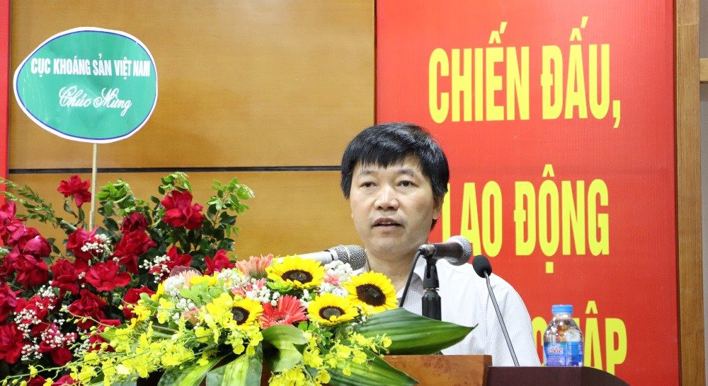
In his opening remarks at the workshop, Dr. Quach Duc Tin stated: In keeping with the festive atmosphere of events celebrating Vietnam Science and Technology Day 2023 nationwide, the Institute of Geological Sciences and Minerals is organizing the workshop “Science, Technology and Innovation - Enhancing National Potential and Position”.
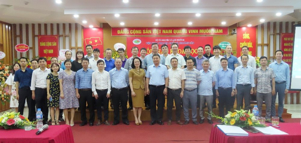
The workshop attracted the participation of experts, managers, and scientists from many agencies inside and outside the Ministry of Natural Resources and Environment . This was an opportunity for scientists, managers, educators, trainers, and businesses to meet, exchange ideas, and summarize research results and their potential applications in production. At the same time, it proposed new research directions that are in line with the socio-economic development trends of the country.
According to the report on the scientific and technological activities of the Institute of Geological Sciences and Minerals from 2015-2022, Dr. Nguyen Dai Trung, Head of the Department of Science, Training and International Cooperation of the Institute, stated that during the period from 2015 to 2022, the Institute led the implementation of 47 scientific and technological tasks at various levels, including 3 national-level tasks, 27 ministerial-level tasks, and 17 institutional-level tasks.
The implementation of these tasks has yielded many outstanding results that are being applied in research, management, and practice, contributing to the overall development of science and technology, and to the industrialization and modernization of the country in the context of a socialist-oriented market economy and international integration.
The Institute has transferred the results to the Management Board of the Dong Van Karst Plateau Global Geopark regarding the scientific and legal basis for establishing, preserving, and rationally utilizing geological heritage and geoparks in Vietnam for reference, serving the construction and development of conservation and rational utilization, and planning of the Global Geopark.
At the same time, the Institute provides scientific and technological services to localities such as Ha Giang, Cao Bang, Ninh Binh, Quang Ninh, Dak Nong, Dak Lak, Gia Lai, Quang Ngai, Thanh Hoa, Phu Tho, Thai Nguyen, Quang Ninh, Bac Kan, etc., serving the construction and development, conservation and rational use, planning of Geoparks - Geological Heritage, engineering geological surveys; determining the causes and proposing solutions for land subsidence, etc.
The Institute also transferred a great deal of knowledge and techniques to raise community awareness about the rational use of water resources in the important limestone mountainous region. More importantly, it implemented training and technology transfer on the systematic use of research results from the project; helping technicians and managers understand the operation, maintenance, and sustainable development processes; implemented the construction of 3 water distribution systems for Dong Van town and surrounding areas in Thai Phin Tung commune with a total volume including: 1 water reservoir of 2000m3, 1 centralized water distribution tank of 200m3, 6 village-level distribution tanks and dozens of other centralized water storage and supply tanks; and built a water distribution pipeline system for a large area with a population of nearly 10,000 people.
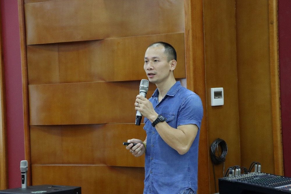
Dr. Do Minh Hien from the Department of Economic Geology and Geoinformatics, Institute of Geological Sciences and Minerals, presented a paper at the conference.
Regarding the Institute's science and technology development orientation until 2030, Dr. Nguyen Dai Trung stated that the Institute will research and apply modern methods and advanced technologies to effectively serve basic geological and mineral resource surveys; research the scientific basis and orientation of survey work, and apply technology for monitoring and observing geodynamic processes in some critical areas heavily impacted by climate change and sea level rise (subsidence in the Mekong Delta, uplift and lowering of geological structures in the Southern region, riverbank and coastal erosion, etc.), and measures to mitigate and reduce these impacts.
The institute also develops applications of automation, digitalization, modeling, monitoring, observation, forecasting, and early warning technologies for geological hazards (landslides, mudslides, flash floods, etc.), environmental incidents, and more.
At the workshop, Dr. Nguyen Quoc Khanh, Director of the Center for Remote Sensing and Geological Hazards, Institute of Geological Sciences and Minerals, reviewed the research results and identified landslide-prone areas in Thua Thien Hue province. Accordingly, Thua Thien Hue province is assessed as having a medium risk of landslides compared to other provinces in the Central region. The results of identifying landslide-prone areas include districts with high risk: A Luoi, Nam Dong, Phong Dien, and Phu Loc.
The list of communes/wards proposed for detailed research and investigation at a scale of 1:10,000 includes: A Lưới district (including the communes of A Đớt, A Roằng, Phú Vinh, Hồng Hạ, and A Lưới), Nam Đông district (including Hương Sơn commune), and Phong Điền district (including Phong Xuân commune). According to Dr. Nguyễn Quốc Khánh, the results of identifying areas sensitive to landslides and the proposed detailed investigation at a scale of 1:10,000 will be used as a basis for guiding the investigation, assessment, forecasting, and early warning of landslides to more effectively serve socio-economic development planning, resettlement planning, and contribute to preventing and minimizing damage caused by landslides in the locality.
Furthermore, these results will contribute to the city's territorial planning orientation and the development of future socio-economic development plans; directly serving the planning and infrastructure construction of the Thua Thien Hue region in the context of adapting to climate change and various types of natural disasters such as landslides and rockfalls.
Summarizing the results of the study on establishing landslide and mudslide hazard zoning maps at large scales using statistical methods, machine learning combined with the FlowR model, Dr. Do Minh Hien from the Economic Geology and Geoinformatics Department, Institute of Geological Sciences and Minerals, stated: The research results indicate that statistical methods and machine learning are fully applicable to establishing landslide hazard maps at a large scale of 1:10,000 for areas with limited input data. The model combines these methods with the FlowR model (an experimental model for assessing the propagation flow of gravity-related hazards) to create landslide and mudslide hazard maps suitable for application at a scale of 1:10,000.
The research findings will contribute to mitigating landslide and mudslide hazards and support territorial planning in the study area. The methods applied in this study can be applied to other areas to create landslide and mudslide hazard maps at similar scales.
At the conference, delegates also discussed research findings on mineral geology, mineralization origins, deep-seated minerals, geological hazards, landslides, water resources, etc., including the introduction of many new technologies and techniques to serve projects investigating and assessing minerals, geological hazards, water resources, and zoning for landslide and rockfall risk warnings, flash floods, etc. All these studies have contributed to enhancing the nation's potential and position in science, technology, and innovation.
Source


Comment (0)