

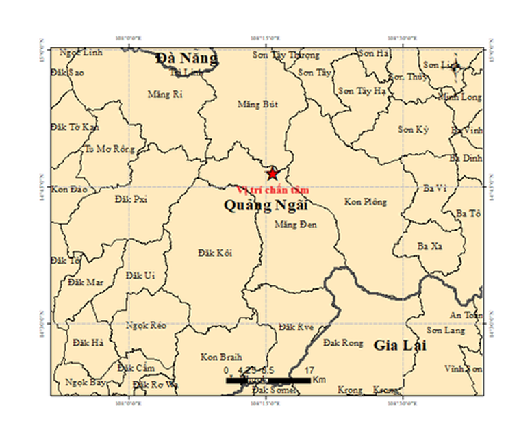
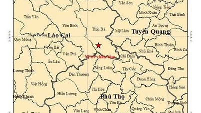
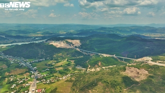
Map of the epicenter of an earthquake with magnitude M = 3.7 in the Mang Den commune area, Quang Ngai province.
According to the Earthquake Information and Tsunami Warning Center, Institute of Earth Sciences (Vietnam Academy of Science and Technology), these earthquakes occurred in the areas of Kon Plông, Măng Đen, Măng Bút, and Măng Ri communes.
Of these, the largest earthquake, with a magnitude of M = 3.7, occurred at 10:43 AM on May 11th, at coordinates 14.774° North latitude – 108.262° East longitude, with a focal depth of approximately 8.2 km. The earthquake occurred in the Mang Den commune, Quang Ngai province.
All earthquakes have a disaster risk level of 0. Currently, the Earthquake Information and Tsunami Warning Center is continuing to closely monitor seismic developments in this area to promptly issue necessary announcements.
According to Dr. Nguyen Xuan Anh, Director of the Institute of Earth Sciences, these are induced earthquakes, usually of weak or medium intensity, and rarely cause serious damage like natural tectonic earthquakes.
Induced earthquakes occur cyclically, closely related to the water storage activity of reservoirs. There are periods of weak earthquake activity, and periods of intense earthquake activity.
The predicted earthquake activity in this area will continue for many years, possibly 10 years before stabilizing, but it is unlikely to exceed 5.5 magnitude.
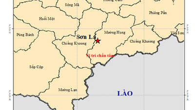
Previously, on May 10th, the Institute of Earth Sciences also recorded two earthquakes, most notably a 4.0 magnitude earthquake that occurred at 7:52 PM in Muong Hung commune, Son La province. The earthquake in Son La had a focal depth of approximately 10.2 km and caused significant shaking in the surrounding area.
Thu Giang
Source: https://baochinhphu.vn/lien-tiep-xay-ra-6-tran-dong-dat-o-quang-ngai-10226051114490877.htm
![[Image] Close-up view of the interchange connecting the two expressways and Long Thanh Airport.](https://vphoto.vietnam.vn/thumb/1200x675/vietnam/resource/IMAGE/2026/05/25/1779703378210_ndo_br_z7863716673926-224453a31600126cce10622af6290afd-4549-jpg.webp)
![[Image] Hanoi's urban life under the challenge of a "scorching hot" environment](https://vphoto.vietnam.vn/thumb/1200x675/vietnam/resource/IMAGE/2026/05/25/1779706979265_nang-nong-t5-2026-minh-duy-7-4636-jpg.webp)













































































Comment (0)