
Identifying the bottleneck
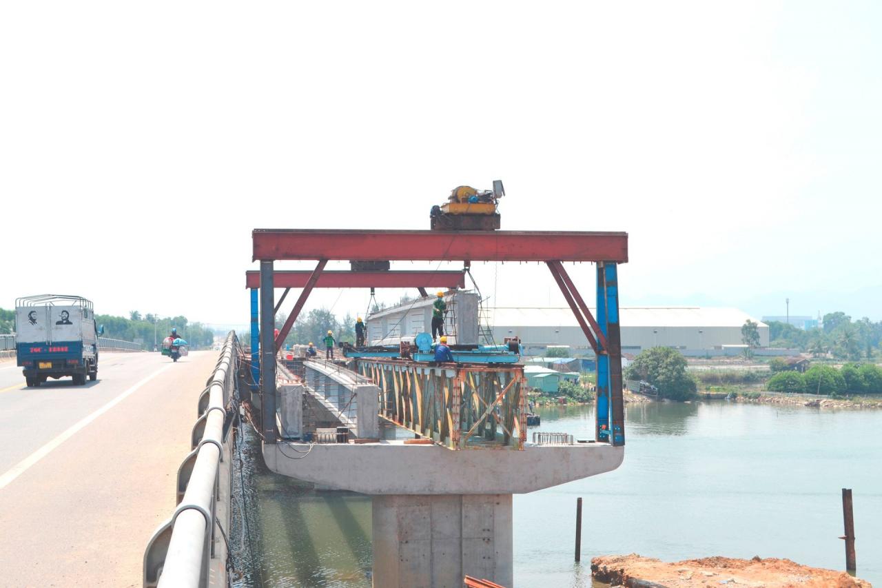
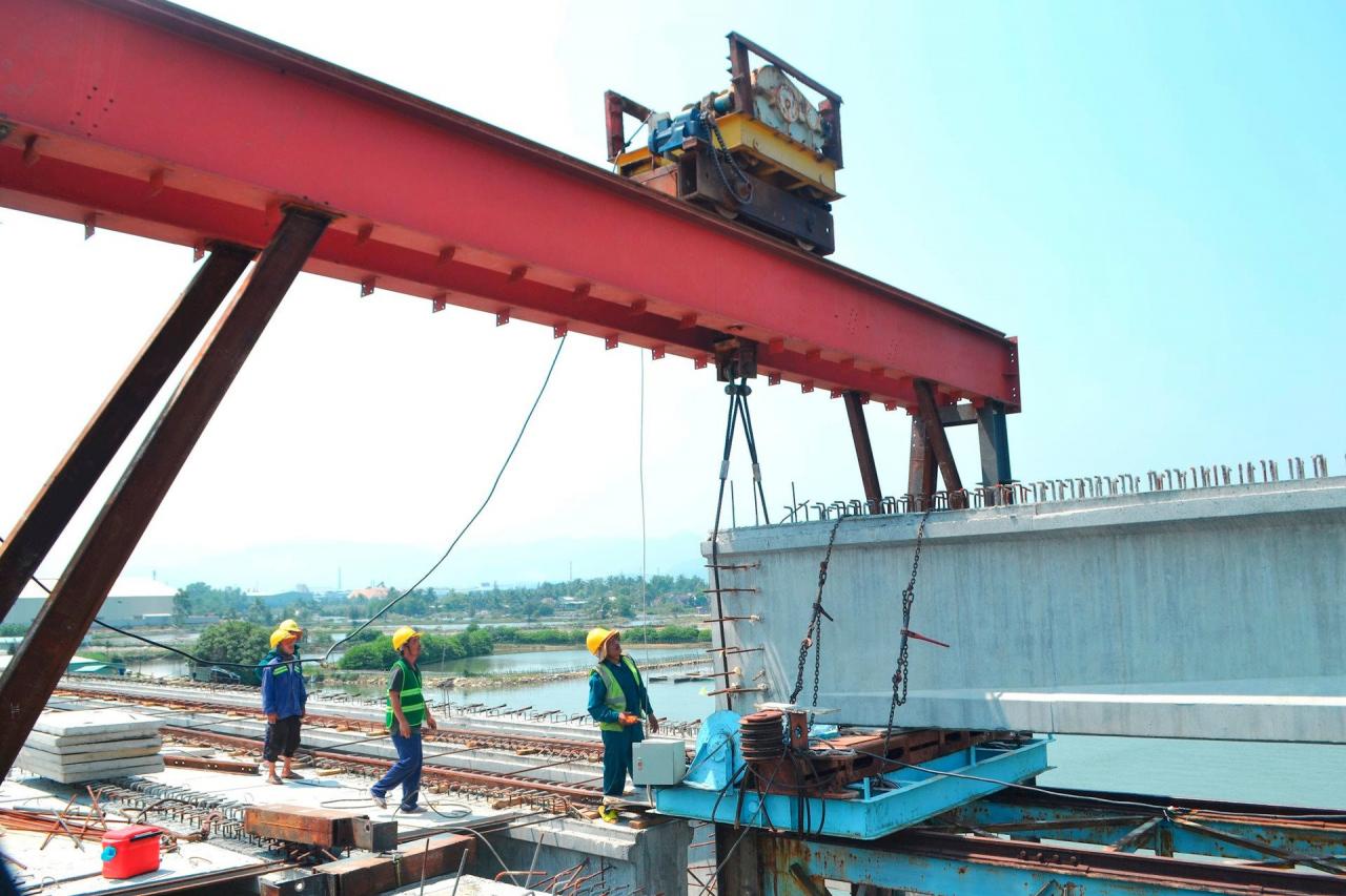
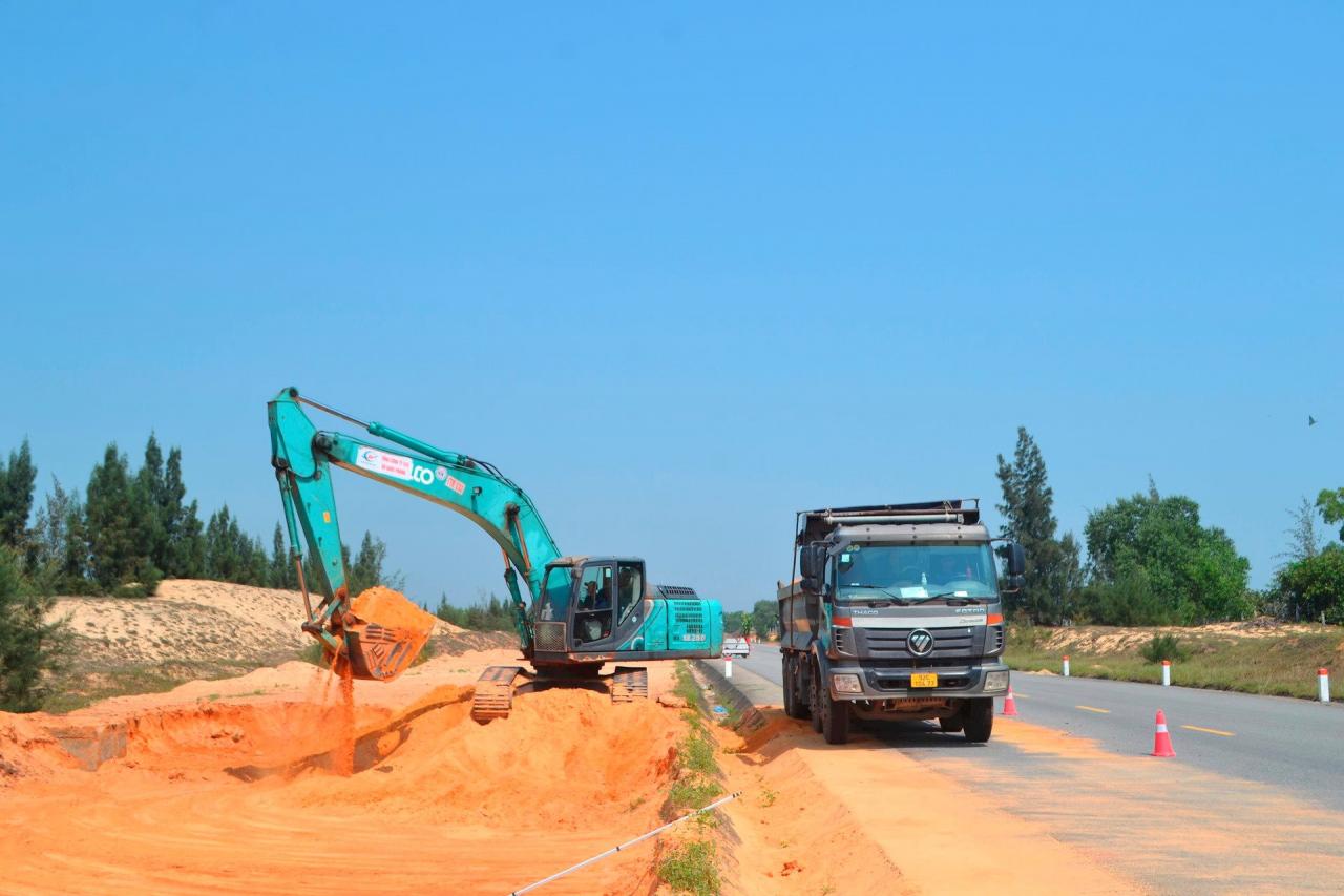
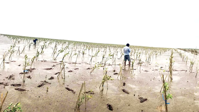
Within the project scope, the consortium of contractors for package 1 is excavating the roadbed and embankment on the right side of the route, within the area where land has been handed over, from km00+000 (Tam Phu commune, Tam Ky) to km8+100 (Tam Tien commune, Nui Thanh). Simultaneously, the construction unit is building a service road and constructing a casting yard for the Tam Tien bridge girders.
According to a representative from the Quang Nam Provincial Project Management Board for the construction of transportation infrastructure (the investor), the section of land handed over mentioned above falls within the 44m cross-section where compensation and land clearance were previously carried out for the rescue and relief road project.
The project to complete Road 129 is 26.5km long; the construction is divided into 2 packages. Accordingly, package 1 has a length of 11.24km (project route km0+00 - km11+240) passing through Tam Phu commune (Tam Ky), Tam Tien, Tam Hoa (Nui Thanh); package 2 is 15.26km long (km11+240 - km26+500) passing through Tam Hoa, Tam Hiep, Tam Giang, Tam Quang, Tam Nghia communes and Nui Thanh town (Nui Thanh).
Therefore, for package 1, the investor has not yet been handed over the 3.14km stretch of land within the Nui Thanh district. This is because this section of the route is affected by 241 land plots and 105 graves. Currently, the approval of the cadastral map has been completed, and the district is carrying out the next steps.
On the construction site of package number 2, a 5.8km section (from km16+700 to km22+500) passing through Tam Hiep commune and Nui Thanh town only had its lighting system completed, because phase 1 had already been built according to the planned cross-section.
Currently, the joint venture between Vinaconex 25 JSC and Vietnam Construction and Import-Export Corporation (Vinaconex) has completed the lighting installation.
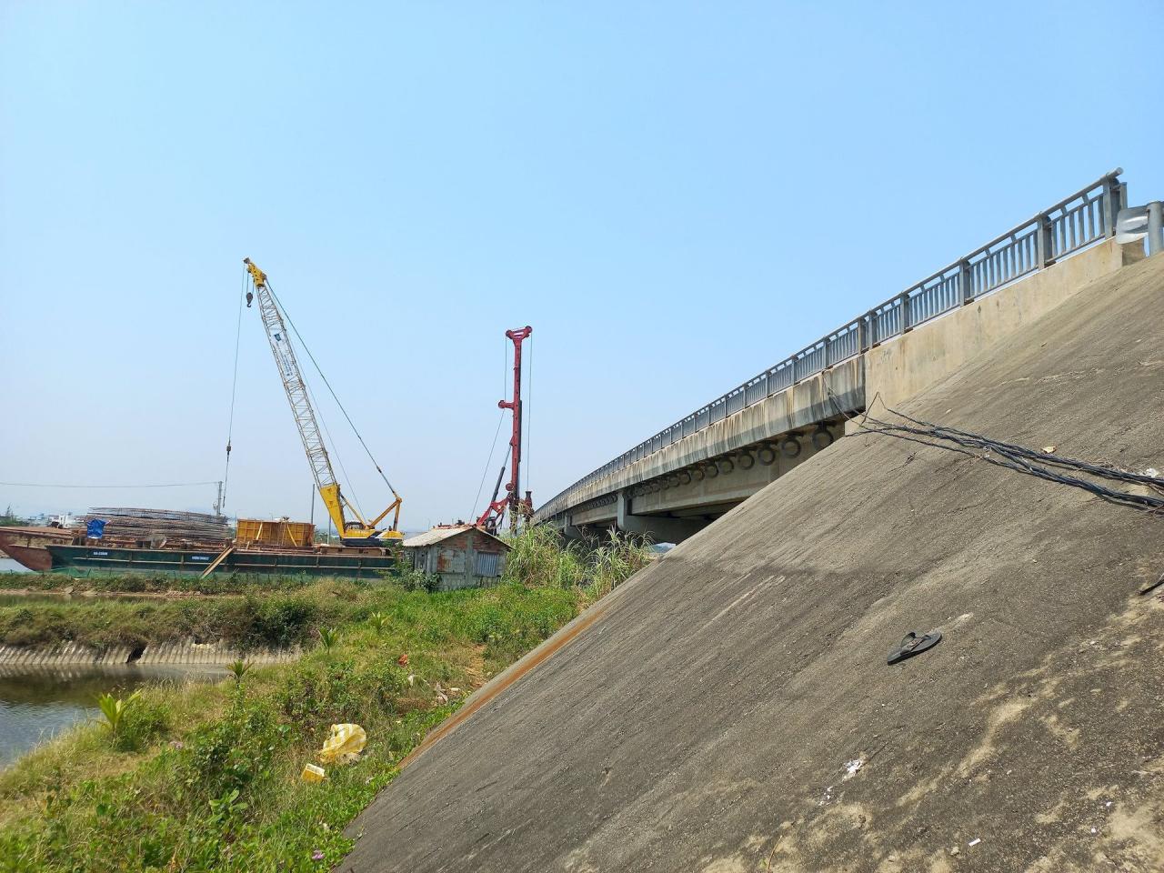
With the road and bridge widening project underway, the contractor is facing difficulties due to numerous bottlenecks in the site. The contractor only has access to the entire Tam Hiep Bridge, An Tan 2 Bridge (excluding abutment M2), 6 out of 39 transverse drainage culverts, and the section from km16+000 to km16+700.
According to the site manager for package 2, engineer Nguyen Nhat Thong, construction on abutment M2 of the An Tan 2 bridge cannot begin due to land clearance issues involving four shrimp farming households in Tam Giang commune.
Passing through Tam Hoa commune, a 1km stretch encroaches on protected forest land, requiring consideration by the competent authorities for approval of a change in land use purpose.
In many other locations, the contractor has to deal with weak soil foundations, which requires a long waiting period for settlement, but there is no available land to carry out the work. The project's fill soil (approximately over 820,000 m3) is also awaiting the necessary permits for mining at the quarry.
Urgent action is needed to resolve this issue.
As part of the project, both bidding packages involve constructing an additional unit of a total of six bridges: Diem Tra, Tam Tien, Tam Hiep, An Tan 2, Tam Nghia, and Tam Quang. However, to date, many bridges lack the necessary land for construction or have not yet been handed over (e.g., abutment M2, An Tan 2 bridge).
Many sections of the road widening project require treatment of weak soil but cannot proceed due to a lack of available land. Since the area is protected forest land, the contractor is utilizing excavated soil within the project area to address the weak soil foundation.
However, as mentioned, the forest area affected by the project needs to be converted to other uses… The above situation urgently requires the local authorities and relevant units to coordinate and resolve the issue.
The investor stated that the section passing through Tam Hoa commune, encompassing 346 affected land plots, has had its cadastral map approved. The unit responsible for compensation is currently carrying out land acquisition, inventory, and the preparation of compensation, support, and resettlement plans.
A total of 11 cadastral maps covering the areas of Tam Hiep, Tam Giang, Tam Quang, Tam Nghia communes and Nui Thanh town have been completed. These maps are awaiting assessment and approval by the Department of Natural Resources and Environment.
Regarding the section from km12+00 to km13+00 (Tam Hoa commune) that passes through the protected forest area, the investor's representative stated that the procedures for assessing the current state of the forest have been carried out.
The Department of Agriculture and Rural Development will advise the Provincial People's Committee and submit the proposal to the Provincial People's Council at the upcoming session for consideration and approval of the policy to change the land use purpose to serve this key transportation infrastructure project.
Source


![[Photo] Reception to welcome General Secretary and President To Lam and his wife on their State visit to the Philippines](https://vphoto.vietnam.vn/thumb/1200x675/vietnam/resource/IMAGE/2026/06/01/1780295488620_vna-potal-chieu-dai-chao-mung-tong-bi-thu-chu-tich-nuoc-to-lam-va-phu-nhan-tham-cap-nha-nuoc-toi-philippines-8798060-7855-jpg.webp)


Comment (0)