On September 18th, Mr. Nguyen Van Huong, Head of the Weather Forecasting Department at the National Center for Meteorological and Hydrological Forecasting, spoke with the press about the escalating storm situation in the East Sea.
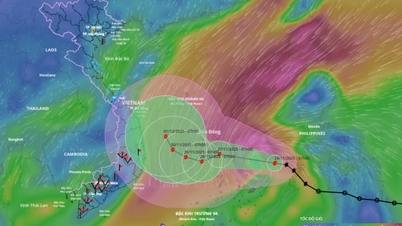
Mr. Huong said that last night, September 17th, the tropical depression north of the Philippines entered the northern South China Sea and today, September 18th, has strengthened into typhoon number 8 (Mitag).
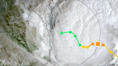
According to forecasts, Typhoon No. 8 will make landfall in Guangdong Province, China tomorrow afternoon and evening, and then weaken into a tropical depression. Therefore, Typhoon No. 8 will not directly affect mainland Vietnam.
However, Mr. Huong warned that the weakened tropical depression from Typhoon No. 8 would move closer to the northern mainland and cause a period of heavy rain in the area on September 23 and 24.
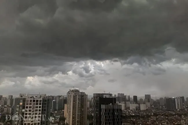
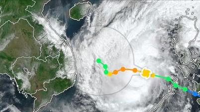
Besides Typhoon No. 8, a tropical depression is currently present in the Northwest Pacific region. According to forecasts, this tropical depression could strengthen into a typhoon tonight, September 18th. According to Mr. Nguyen Van Huong, this typhoon is likely to enter the East Sea around September 22nd.
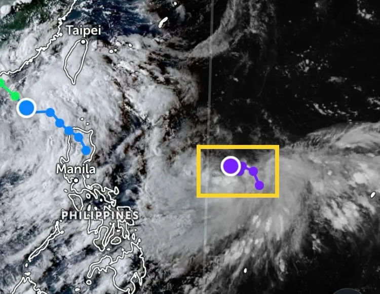
This is a powerful storm that could bring strong winds and widespread rain, directly impacting the mainland of our country, especially in the North and Central regions.
According to Mr. Huong, further forecasts indicate that from now until the end of 2025, 5-7 typhoons or tropical depressions may appear in the East Sea, of which 2-4 are highly likely to directly affect the Vietnamese mainland.
Source: https://www.sggp.org.vn/sap-co-mot-con-bao-manh-do-bo-dat-lien-nuoc-ta-post813614.html


![[Photo] General Secretary and President To Lam meets with National Assembly delegates from ethnic minorities.](https://vphoto.vietnam.vn/thumb/1200x675/vietnam/resource/IMAGE/2026/04/20/1776696701056_a1-bnd-8331-3342-jpg.webp)


![[Image] National Assembly discusses the implementation of the socio-economic development plan.](https://vphoto.vietnam.vn/thumb/1200x675/vietnam/resource/IMAGE/2026/04/20/1776696707422_ndo_br_img-20260420-185419-jpg.webp)






Comment (0)