
1. Which inland river is the longest in the country?
- Red River
- Dong Nai River
- Hau River
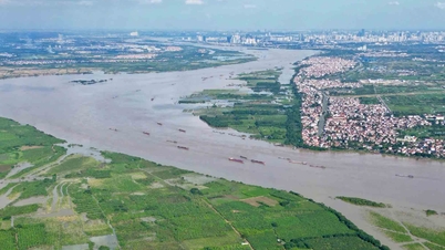
The Dong Nai River is the longest inland river in Vietnam and the second largest in the Southern region in terms of drainage basin, after the Mekong River. The Dong Nai River flows through the provinces of Lam Dong, Dak Nong, Binh Phuoc, Dong Nai, Binh Duong , and Ho Chi Minh City. If measured from the source of the Da Dang River, the Dong Nai River is 586 km long, while if measured from the confluence with the Da Nhim River below Pongour Waterfall, it is 487 km long. The Dong Nai River flows into the East Sea in Can Gio District. Its main tributaries include the Da Nhim River, Be River, La Nga River, Saigon River, Da Hoai River, and Vam Co River. Its smaller tributaries include the Long Tau River (Nga Bay River), Dong Tranh River, Thi Vai River, Soai Rap River (Soi River), etc.
2. Where does the Dong Nai River originate?
- Lam Dong
- Dong Nai
- Boeing Nong
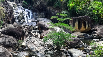
The Dong Nai River originates from the Lam Vien Plateau (Lam Dong province). The upper reaches of the Dong Nai River are called Dac Dung. The river meanders, flowing northeast-southwest, leaving the mountainous region and reaching the plains at Ta Lai (Tan Phu district, Dong Nai province). The river forms a natural boundary between Dak R'Lap (Dak Nong province) and Bao Lam - Cat Tien (Lam Dong province), between Cat Tien and Bu Dang (Binh Phuoc province) - Tan Phu district, and between Tan Phu and Da Teh district.
3. In which province is the upper reaches of the Saigon River located?
- Dong Nai
- Binh Phuoc
- Tay Ninh
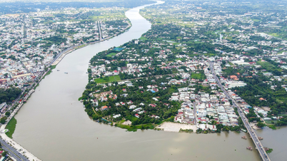
The Saigon River is a tributary of the Dong Nai River. The 251 km long river originates in Binh Phuoc province, flows through Tay Ninh, Binh Duong, and Ho Chi Minh City, and then merges with the Dong Nai River. The headwaters of the Saigon River are located in Loc Ninh district in the northern part of Binh Phuoc province.
4. Which province is 'where the Red River flows into Vietnamese territory'?
- Lao Cai
- Lang Son
- Son La
The Red River (or Hồng Hà) is a river with a total length of 1,149 km, originating in Yunnan, China, flowing through northern Vietnam, and emptying into the Gulf of Tonkin. Within Vietnam, the Red River is 556 km long and is a vital waterway for Vietnam's rice-farming culture.
The first point of contact of the Red River with Vietnamese territory is at A Mu Sung commune, Bat Xat district, Lao Cai province, where the river marks the dividing line between the two countries. Upon reaching Lao Cai city, the Red River flows entirely into Vietnamese territory. To the east of Lao Cai city, the river forms the boundary between the city and Bao Thang district, passing through Bao Thang and Bao Yen, along the border between Bao Yen and Van Ban.
5. “All rivers flow east, except for… which river flows north” – which river is it?
- Ma River
- Da River
- Thao River
The Da River, also known as the Bo River or Da Giang, is the largest tributary of the Red River. The Da River is 927 km long (some sources say 983 km or 910 km). Its main channel originates in the Wuliang Mountains, Yunnan Province, China, flowing northwest-southeast before joining the Red River in Phu Tho Province. The section in Vietnam is 527 km long (some sources say 543 km). Its starting point is the Vietnam-China border in Muong Te District (Lai Chau Province). The river flows through the northwestern provinces of Vietnam: Lai Chau, Dien Bien, Son La, Hoa Binh, and Phu Tho (separating Thanh Thuy District, Phu Tho Province from Ba Vi District, Hanoi). Its end point is the Hong-Da confluence in Tam Nong District, Phu Tho Province.
Source: https://vietnamnet.vn/tinh-nao-la-noi-con-song-hong-chay-vao-dat-viet-2327000.html


Comment (0)