
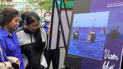
On the morning of November 5th, the Department of Information and Communications, in coordination with the Department of Education and Training and the People's Committee of Ham Thuan Nam district, organized a digital exhibition titled "Hoang Sa and Truong Sa of Vietnam - Historical and Legal Evidence" at Ham Thuan Nam High School.
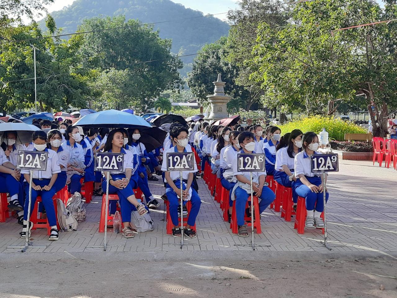
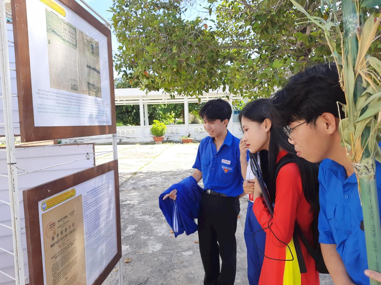
At the exhibition, more than 1,500 students and teachers received information, images, and documents related to the process of establishing and exercising Vietnam's sovereignty over its seas and islands from the 17th to the 20th centuries. These included the Nguyen Dynasty's imperial archives, maps of Vietnam during the feudal period (16th-19th centuries) acknowledging Vietnam's sovereignty over the Hoang Sa and Truong Sa archipelagos, and maps of China published in the West (16th-20th centuries) indicating that the Hoang Sa and Truong Sa archipelagos did not belong to China…
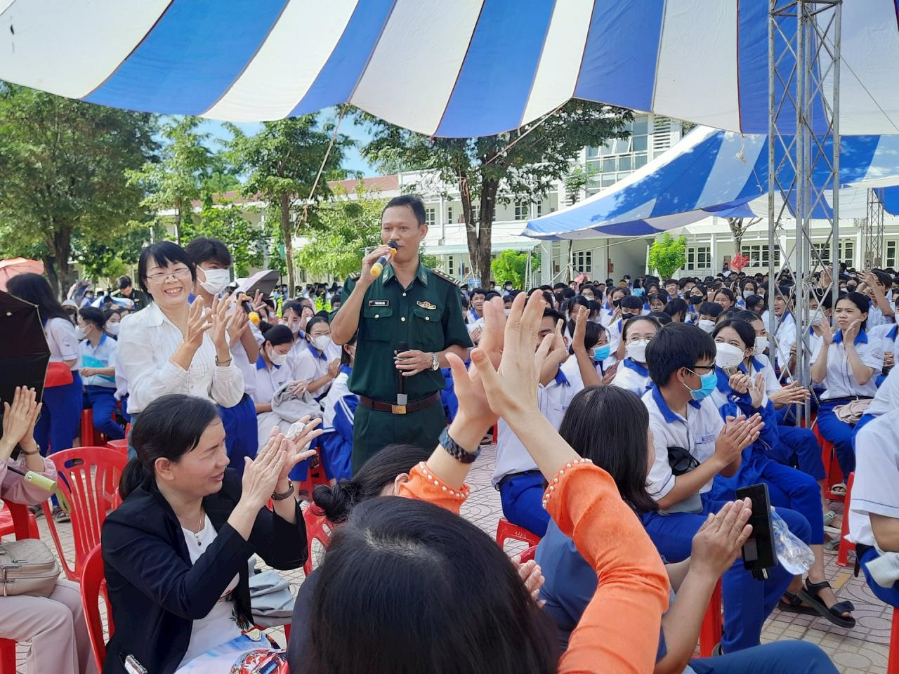
In addition, speakers from the Provincial Border Guard Command introduced the potential and advantages of Vietnam's seas and islands in developing the marine economy; the situation of the seas and islands, and the legal framework for protecting maritime sovereignty. They also engaged in discussions, asked questions, and answered questions from students and teachers on the topic of Vietnam's maritime sovereignty.
This is a practical activity aimed at introducing and disseminating information to students and teachers about historical and legal documents and evidence affirming Vietnam's sovereignty over the Hoang Sa and Truong Sa islands. Vietnam's seas and islands are a sacred part of the Fatherland's territory, protected, exploited, and asserted by generations of ancestors for thousands of years, exercising sovereign rights and jurisdiction over the seas, islands, and archipelagos in accordance with international law.
Source


Comment (0)