
- Working together in unity to build a prosperous Ca Mau.
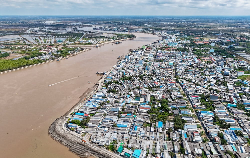
Characterized by its riverine landscape, formed later by the Mekong River's alluvial deposits , Ca Mau and Bac Lieu, whether sharing a common riverbed or not, always share rivers that crisscross and divide the region, imbued with a rich culture closely associated with riverside docks and ferries... simple and familiar, transcending administrative boundaries.
These rivers, whether formed naturally or created by human hands during the process of reclaiming and transforming nature, always carry a deep sense of affection, loyalty, and connection between their banks, serving as the lifeblood of their homeland.
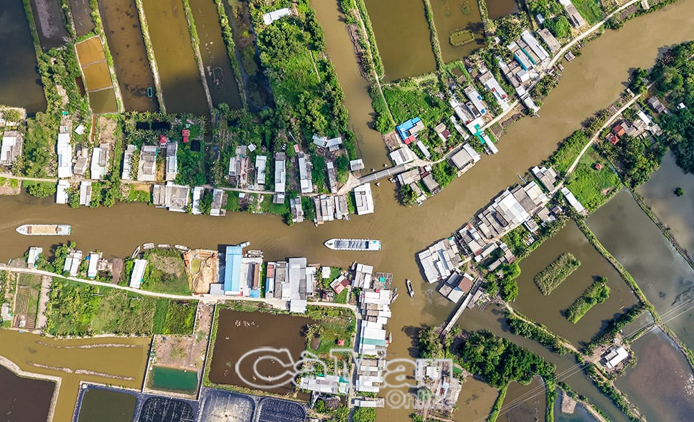
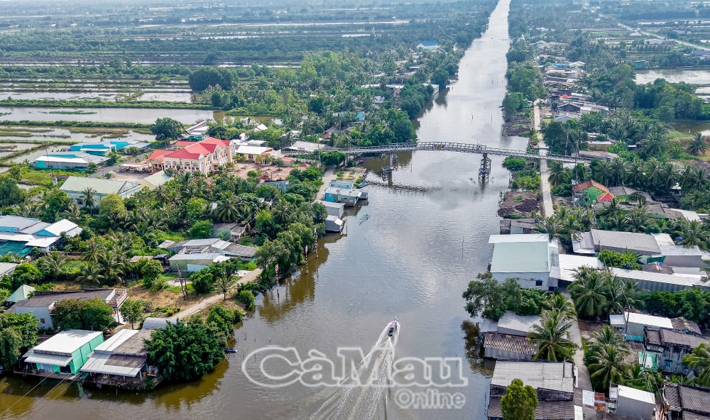
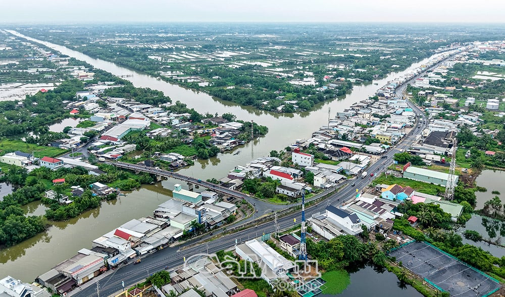
Carrying the aspirations of the pioneering era, and flowing through various stages of historical development, the common rivers in the inland areas bring a sweet, refreshing taste, irrigating vast rice paddies and lush gardens, enriching the countryside; while the rivers along the coast flow powerfully, guiding the shimmering shrimp ponds and salty grains of the land, bringing a new life to the flourishing rural villages.
Ca Mau and Bac Lieu, separated for 28 years, have always remained brothers in the heart of the family. Now, once again, they are reunited under the name "Ca Mau." They come together to build a better future for this heroic land at the southernmost tip of the Fatherland. And the alluvial soil will once again converge, together telling the story of a bright future for their homeland...

Tran Nguyen performed
Source: https://baocamau.vn/chung-dong-phu-sa--a39993.html


![[Photo] Reception to welcome General Secretary and President To Lam and his wife on their State visit to the Philippines](https://vphoto.vietnam.vn/thumb/1200x675/vietnam/resource/IMAGE/2026/06/01/1780295488620_vna-potal-chieu-dai-chao-mung-tong-bi-thu-chu-tich-nuoc-to-lam-va-phu-nhan-tham-cap-nha-nuoc-toi-philippines-8798060-7855-jpg.webp)


Comment (0)