
Tay Ninh is a border province of the Southeast region. To the north, it borders 3 provinces of Cambodia with a 240km long border, to the east are Binh Duong and Binh Phuoc provinces, to the south it borders Ho Chi Minh City and Long An . The province has two international border gates: Moc Bai and Xa Mat.
In the north of the province, from Tay Ninh City up, there are many forests and mountains, including Ba Den Mountain, which is 986m high. The south of the province is quite flat, almost a plain. There are two large rivers flowing through, the Dong Nai River and the Saigon River. The Saigon River is blocked to create Dau Tieng Lake, the largest irrigation project in the country, irrigating 17,500 hectares of agricultural land.
Tay Ninh is the border of the South Central Highlands and the Mekong Delta, belonging to the highlands of the South. Most of the soil is red and gray soil, very good for cultivation, especially forestry and industrial crops.
Climate: warm and temperate all year round, average annual temperature 26ºC – 27ºC, average annual rainfall from 1400 – 2000mm. There are two distinct seasons: dry season from December to April of the following year, rainy season from May to October.
Potential for economic and tourism development
Located between Ho Chi Minh City and the capital Phnom Penh (Cambodia), Tay Ninh is a strategic economic and defense location, and was once a revolutionary base in the South during the two resistance wars against France and the US. In the past, this was the land of Phu Nam, then belonged to Gia Dinh prefecture (during the Nguyen Dynasty). In 1936, Tay Ninh prefecture was established, including the two districts of Tan Ninh and Quang Hoa, and later changed to Tay Ninh province.
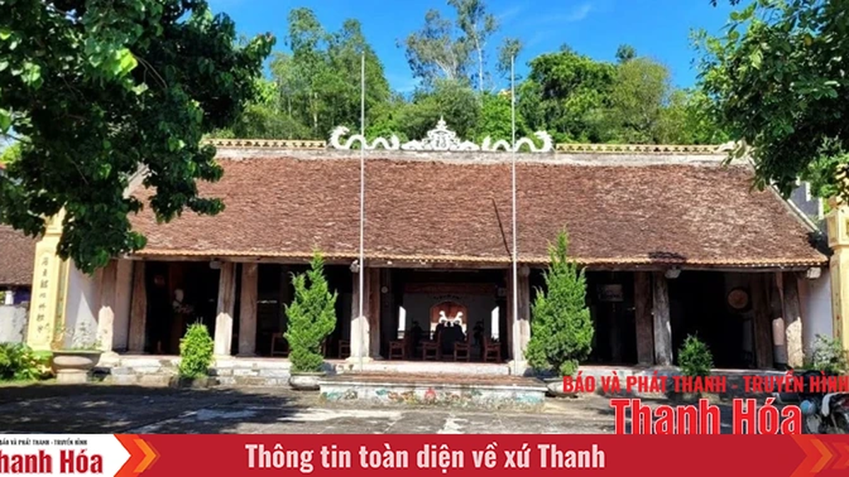
The province's relics and scenic spots include Tay Ninh Holy See, Ba Den Mountain, Dau Tieng Lake, Binh Thanh ancient tower...
Ethnicity and religion
There are three main ethnic groups living here: the Vietnamese (Kinh), the Khmer, and the Cham. Religions in Tay Ninh include Buddhism, Catholicism, and Cao Dai.
Tay Ninh is the center of Cao Dai religion with a large-scale Cao Dai Holy See built in Hoa Thanh district, 4km from Tay Ninh city. From here, Cao Dai religion spread to the southern and central provinces of Vietnam with a population of more than 2 million followers.
Traffic
Tay Ninh City is 99km from Ho Chi Minh City. The newly expanded Trans-Asia Highway (National Highway 22A) has six lanes in both directions from Ho Chi Minh City through Trang Bang, Go Dau to Moc Bai border gate, 73km long. Currently, Moc Bai border gate economic zone is becoming a major commercial center of Vietnam and Cambodia. The province has National Highway 22B from Go Dau through Tay Ninh City to Xa Mat border gate.
Provincial Information Portal


Comment (0)