
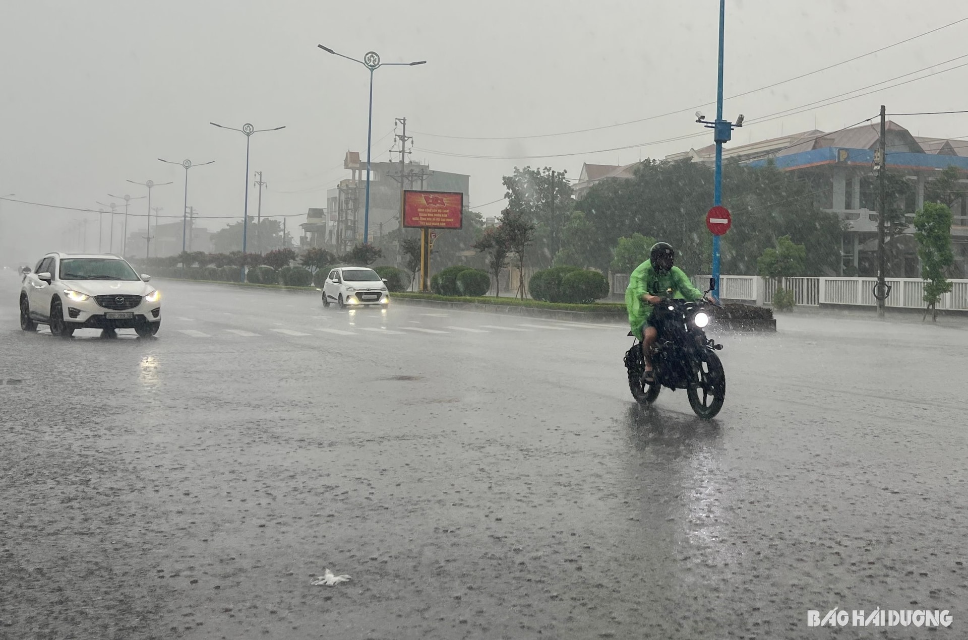
According to the Meteorological and Hydrological Station, on the night of June 22nd and the day of June 23rd, a compressed low-pressure trough with its axis over Northern Vietnam, combined with wind convergence at an altitude of 5,000 meters, will cause cloudy skies in Hai Duong province, with showers and thunderstorms in the evening and night, southeast winds at level 2, and daytime temperatures ranging from 26 to 32 degrees Celsius.
From June 24th to 27th, the low-pressure system in the west tends to develop again. Hai Duong province will experience sunny days, with some areas experiencing hot weather, and a maximum temperature of 35 degrees Celsius. In the late afternoon and evening, there will be scattered showers and thunderstorms in some areas, with southeasterly winds at level 2.
From June 28-29, wind convergence is likely to re-establish itself over the Northern region, then weaken. In the province, the weather will be cloudy with sunny days, and showers and thunderstorms in the late afternoon and evening.
From June 30th to July 2nd, the hot low pressure system in the west will develop again, bringing the weather in Hai Duong to cloudy skies with no rain, sunny days, and daytime temperatures ranging from 26 to 34 degrees Celsius.
The Provincial Meteorological and Hydrological Station notes that during thunderstorms, there is a possibility of tornadoes, lightning, hail, and strong gusts of wind. Hot days increase the risk of fires and explosions due to increased electricity demand and low humidity, which increases the risk of forest fires and can cause dehydration, exhaustion, and heatstroke from prolonged exposure to high temperatures.
Source: https://baohaiduong.vn/hai-duong-con-mua-trong-nhieu-ngay-toi-414650.html
![[Image] Nearly 125,000 Hanoi students completed the Literature exam for the 10th grade entrance exam.](https://vphoto.vietnam.vn/thumb/1200x675/vietnam/resource/IMAGE/2026/05/30/1780117233041_ndo_br_thiet-ke-chua-co-ten-2-png.webp)


Comment (0)