
(TN&MT) - The historical milestones of the development of the Vietnam Surveying and Mapping industry are always associated with major events in the process of protecting, building and developing the country.
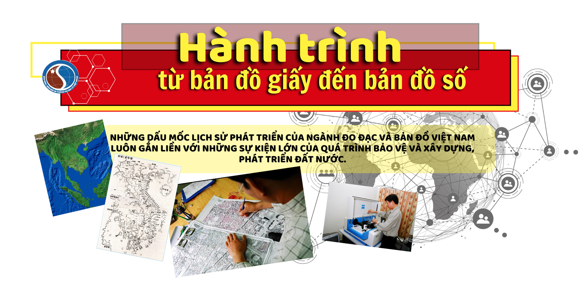

Over the past 65 years, the Surveying and Mapping sector has become an important management sector to determine boundaries and borders to serve socio-economic development, protect sacred sovereignty and national territorial integrity.
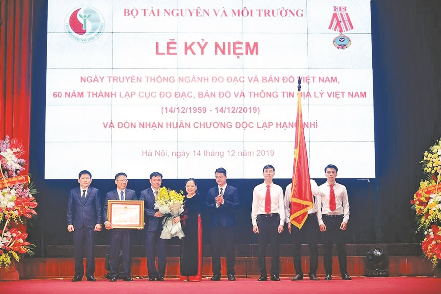
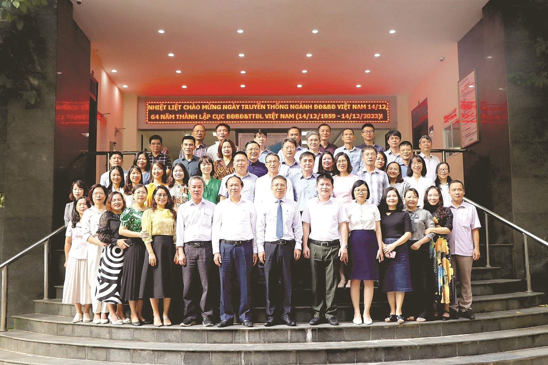
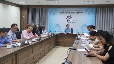
On the occasion of the Traditional Day of the Vietnam Surveying and Mapping Industry and the 65th anniversary of the establishment of the Vietnam Department of Surveying, Mapping and Geographic Information (December 14, 1959 - December 14, 2024), reporters of the TN&MT Newspaper had a conversation with Dr. Hoang Ngoc Lam - Director of the Vietnam Department of Surveying, Mapping and Geographic Information about the industry's outstanding achievements over the past 6 decades and development orientations in the coming period.

PV: Looking back on the more than 65-year journey of building and developing the Vietnam Surveying and Mapping industry, what do you think are the highlights on that journey?
Director Hoang Ngoc Lam: 65 years ago, on December 14, 1959, the Prime Minister signed a Decree to establish the Department of Surveying and Mapping under the Prime Minister's Office and December 14 of each year is taken as the traditional day of the Vietnam Surveying and Mapping industry.
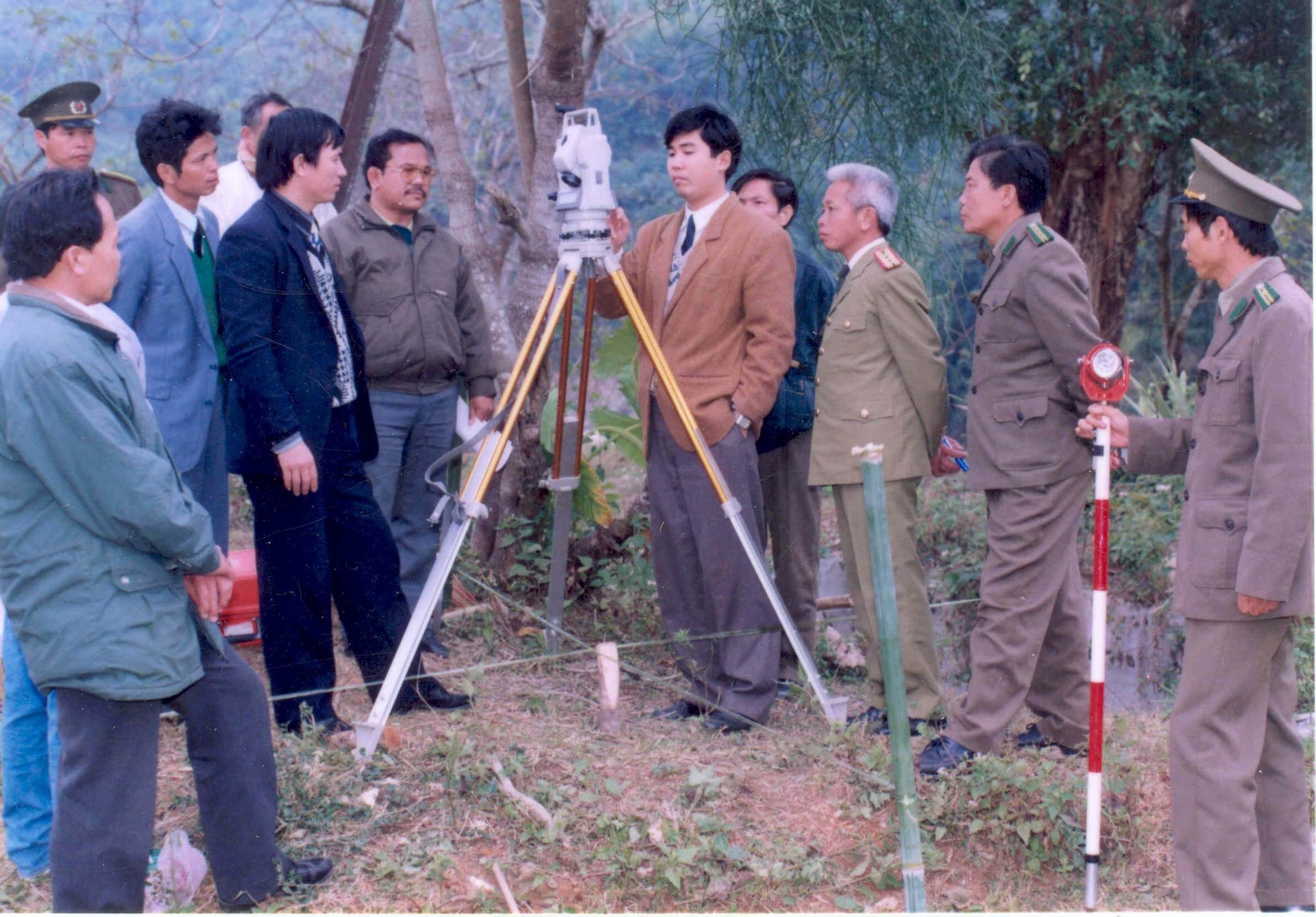
Over the past 65 years of construction and development, Vietnamese surveyors and cartographers have made constant efforts to produce and provide timely maps for the battlefield; provide survey data and maps to serve basic investigation, territorial management, socio -economic development, natural disaster prevention, response to climate change, ensure national defense and security, and improve the intellectual level of society.
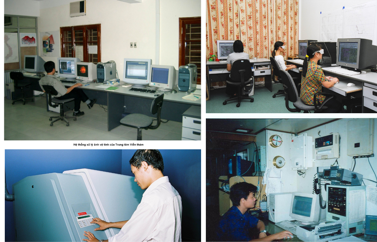
With the current volume of data in the Vietnam Surveying and Mapping industry, it must be affirmed that Vietnam is one of the countries with the leading source of complete geographic data in the region, promptly serving the work of planning, digital transformation, building e-Government, towards digital Government, digital economy, digital society and smart cities.
In recent years, survey and mapping results have also been a source of information, contributing to the development of the "green economy". Survey and mapping results are basic data that help the Ministry of Natural Resources and Environment carry out important tasks of the Ministry of Natural Resources and Environment and ministries, sectors and localities nationwide.
In particular, border surveying and mapping activities have effectively served the demarcation of national boundaries on land and at sea with neighboring countries, contributing to maintaining the country's sacred sovereignty and political stability in the region.
Along with the development of the country, the Vietnam Surveying and Mapping industry has increasingly developed in terms of organization, human resources and scientific and technical potential with a team of tens of thousands of cadres, civil servants, public employees, workers, thousands of organizations and enterprises with modern equipment and technology.
PV: How have the above results been evaluated and recognized by the Party, State and Government, sir?
Director Hoang Ngoc Lam: Over the past 65 years, the Surveying and Mapping sector has made important marks. The outstanding achievements in the past period are thanks to the close and specific direction of the leaders of the Party, the State, the Executive Committee, the leaders of the Ministry of Natural Resources and Environment, the close and effective coordination of surveying and mapping units inside and outside the Ministry of Natural Resources and Environment and especially the efforts to overcome all difficulties, hardships and challenges of the collective leadership and cadres, civil servants, public employees and workers of the Sector through the periods.
In recognition of the great contributions of the collective of cadres, civil servants, public employees and workers in the Surveying and Mapping sector over the past 65 years, the Party, State and Government have awarded many noble awards to collectives and individuals of the sector.
The Vietnam Surveying and Mapping Industry was honored to receive the Ho Chi Minh Medal in 2009, the First Class Independence Medal in 2004, the Second Class Independence Medal in 1994, and the First Class Labor Medal in 2014 from the President of the Socialist Republic of Vietnam.
The collective of cadres, civil servants, public employees and workers of the Department of Surveying, Mapping and Geographic Information of Vietnam was honored to receive the Third Class Independence Medal in 1989, the Second Class Independence Medal in 2019 from the President of the Socialist Republic of Vietnam, the Friendship Medal in 2016 from the President of the Lao People's Democratic Republic and the Friendship Medal to 04 individuals in 2016 from the Prime Minister of the Lao People's Democratic Republic...
In addition, the two companies Topographic Photogrammetry and Construction Cadastral Surveying and Prof. Dr. Dang Hung Vo were awarded the title of Labor Hero in the Renovation Period. Many projects, such as the project cluster "Building the national reference system and coordinate system VN-2000 and applying the global positioning system (GPS) to surveying and mapping of Vietnam", the Vietnam National Atlas project were awarded the Ho Chi Minh Prize for science and technology by the Party and the State.
PV: In the coming period, in the trend of digital transformation, with the rapid development of science and technology, what key tasks does the Vietnamese Surveying and Mapping industry need to perform, sir?
Director Hoang Ngoc Lam: To promptly meet the requirements of the country's development in the context of the development of the 4.0 Industrial Revolution, the Vietnam Surveying and Mapping industry in the coming time will focus resources to solve specific problems.
First of all, the industry will focus on building and perfecting the system of policies and laws on surveying and mapping in the direction of institutional creation for sustainable development, ensuring feasibility, synchronization, unity, and conformity with the level of science and technology in surveying and mapping, and the socio-economic conditions of Vietnam. Create a favorable legal corridor to mobilize domestic and foreign resources for investment in building surveying infrastructure, developing science, transferring technology, and training human resources to develop the Vietnam Surveying and Mapping industry.

Along with that, continue to build and perfect the system of standards and technical regulations on data, measurement products and maps to ensure synchronization, accuracy, and convenience for common use and access to international standards. Build standards, technical regulations, and technical regulations on the system architecture of geospatial data infrastructure, including standards on network architecture and network information infrastructure.
Establish a unified national spatial reference system and coordinate system on land and at sea on the basis of completing: national coordinate network; national satellite positioning station network; national elevation network; national gravity network and geoid model on Vietnam's territory.
Manage and operate the national geographic database system securely, ensuring the provision of geographic data and national topographic maps at accurate and timely scales to serve the construction of digital government, digital economy, ensuring national defense and security, preventing natural disasters, and responding to climate change.
Regarding border and boundary work, the Department of Surveying, Mapping and Geographic Information of Vietnam will coordinate with relevant ministries, branches and localities to ensure technical work serving the negotiation of 16% of the Vietnam - Cambodia land border that has not been demarcated; prepare human resources and technical conditions to serve the implementation of maritime boundary demarcation work with countries in the region, contributing to stabilizing the political situation and enhancing development cooperation in the region.
PV: Thank you!

Entering the digital age with the Industrial Revolution 4.0, with a long-term and modern vision, the Surveying and Mapping industry has proactively innovated comprehensively, participated in the geographic information revolution and international integration; contributed to promoting "Digital Government - Digital Society - Digital Economy" and above all, increasingly affirmed the position and role of the Industry.

Geospatial data has become an important factor in national economic development, especially in the period of industrial development 4.0, developing digital programs as today. In addition, geospatial information also plays an important role in developing smart cities, preventing natural disasters, and protecting the environment. Therefore, the effective management, exploitation, and use of the national geographic database in Vietnam is an urgent task.
In our country, the Government and state management agencies have soon recognized the importance and great benefits of geospatial data. Therefore, over the past years, ministries and branches in general and the Ministry of Natural Resources and Environment in particular have focused on investing in building a geospatial data system to serve the needs of state management, socio-economic development, and ensuring national defense and security.
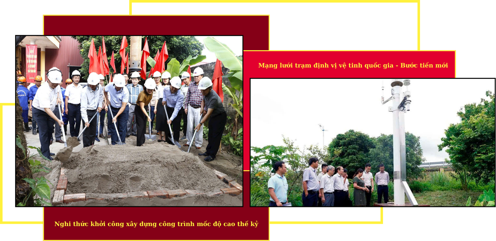
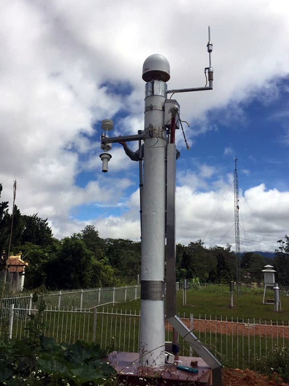
As one of the pioneering units in the country in digitization and application of information technology, promoting digital transformation, in recent times, the Surveying and Mapping sector has promoted the application of modern technologies in surveying and mapping activities. Notably, for the first time, the sector has built and put into operation the national satellite positioning station network VNGEONET - a breakthrough in the application of advanced and modern technological achievements in surveying and mapping activities; ensuring the provision of high-precision navigation services nationwide, currently, the Department of Surveying, Mapping and Geographic Information of Vietnam is adding about 90 - 100 NRTK CORS stations. At the same time, perfecting mechanisms and policies to attract investment, manage, operate, exploit and effectively use this system.

In the current period, with the breakthrough speed of the Industrial Revolution 4.0, to serve e-Government, improve the quality of planning, make reasonable investment decisions, strengthen administrative reform, improve the effectiveness of state management of ministries, branches and localities, on January 9, 2020, the Prime Minister issued Decision No. 40/QD-TTg approving the Project "Building and perfecting the national geographic database", in which the Ministry of Natural Resources and Environment is assigned to implement the Project "Investing in building a national geographic database to serve the construction of national geospatial data infrastructure and e-Government".
Implementing the project, up to now, the Department of Surveying, Mapping and Geographic Information of Vietnam has completed the construction of the national geographic database and the national topographic map system at all scales and handed it over to 63 provinces and centrally-run cities to serve the work of regional planning, provincial planning, specialized planning, smart urban construction, socio-economic development, digital infrastructure construction, digital transformation contributing to socio-economic development, ensuring national defense and security, preventing natural disasters, responding to climate change and social needs.
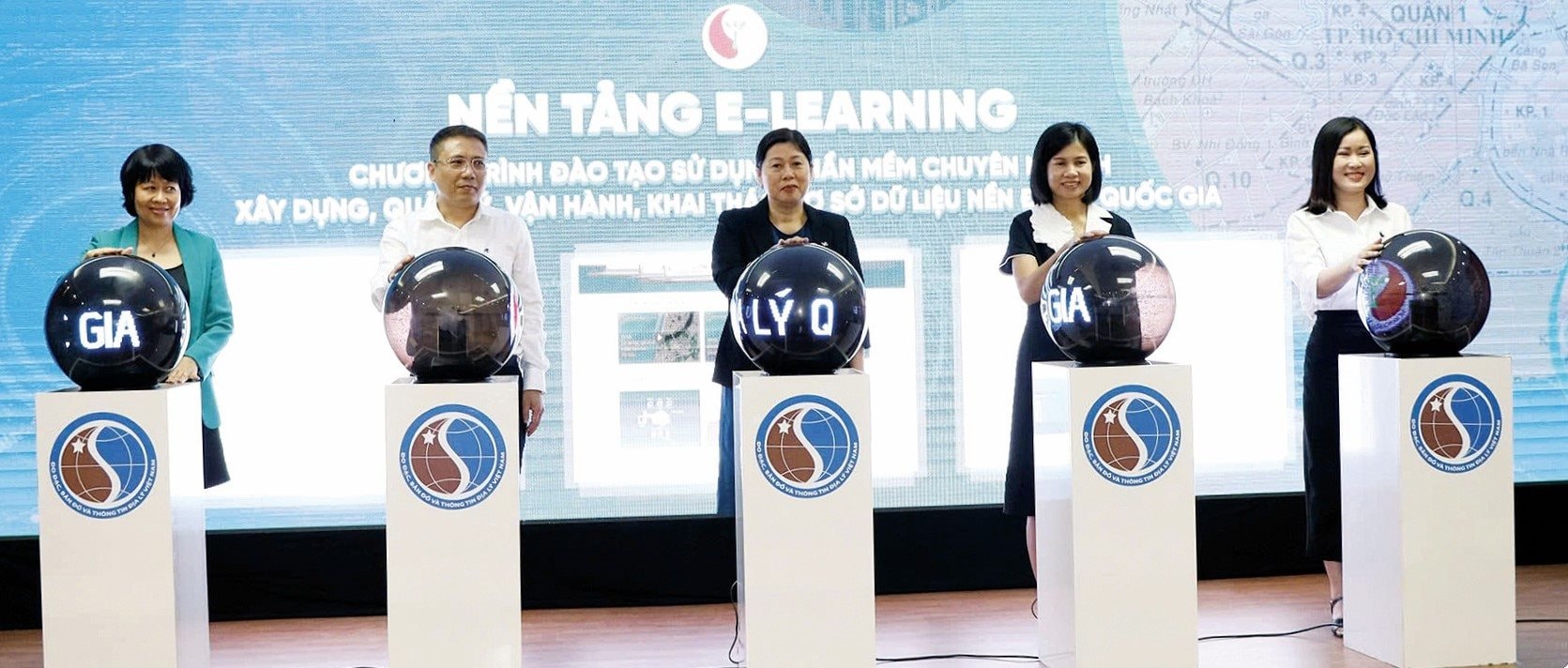
Along with the completion of the database construction, on November 10, 2023 in Hanoi, the Ministry of Natural Resources and Environment organized the opening of a training course on using specialized software to build, manage and operate the national geographic database at 63 locations in the form of online training via the E-Learning platform and more than 3,000 trainees who are managers and technical staff of ministries, branches, localities and research institutes across the country. The course helped trainees easily grasp knowledge from basic to advanced in building and updating geographic databases in general and national geographic databases in particular in a proactive, unified and effective manner, responding to the country's digital transformation.
In addition, to promote "Digital Government - Digital Society - Digital Economy", the Department of Surveying, Mapping and Geographic Information of Vietnam has completed the construction of the Vietnam Geospatial Information Portal and deployed a trial version. The Vietnam Geospatial Information Portal is not only an effective support tool for state management, socio-economic development, national defense and security, but also contributes to natural disaster prevention, search and rescue, environmental incident response and climate change response.
By providing data sharing, lookup, analysis and download services, the Vietnam Geospatial Information Portal facilitates the effective use of domestic geospatial data resources and connects with international data infrastructures, contributing to the promotion and development of the 4th Industrial Revolution.

The year 2023 marks a special milestone for the Department of Surveying, Mapping and Geographic Information of Vietnam when the Strategy for the Development of the Surveying and Mapping Sector of Vietnam and the Construction of a National Geospatial Data Infrastructure to 2030, with a Vision to 2045, was issued by the Government. The Strategy is an important legal basis, expected to help Vietnam complete its information data foundation to serve the construction of e-Government, serving the digital infrastructure towards a modern society.


The strategy sets goals in two phases: From now to 2030 and vision to 2045. Accordingly, by 2030, Vietnam will build and complete a unified national surveying infrastructure on land and at sea with the goal of integrating and sharing geospatial data between agencies, departments, between the Central and local levels to serve the construction of e-Government, towards digital Government, digital economy, digital society; ensuring 100% of geospatial data is connected and shared nationwide to serve the provision of information and public services to organizations and individuals.

With a vision to 2045, the Strategy aims to develop Vietnam's Surveying and Mapping industry into a modern basic survey industry, on par with developed countries, striving to master 80% of advanced and modern technologies.
At the same time, develop a national geospatial data infrastructure to ensure the creation, maintenance, and enhancement of the value of information, data, surveying and mapping products, meeting the requirements for geospatial data of the whole society, serving the tasks of national defense, security, digital government, digital economy, digital society; participate and connect to the global geospatial data infrastructure network.


To achieve the above goals, the Strategy sets out 10 tasks and solutions including: Perfecting institutions, policies and laws on surveying and mapping; Building and perfecting the system of standards and technical regulations on data, surveying and mapping products to ensure consistency, accuracy and convenience for common use;
Completing and publishing data of national surveying networks; Building and updating national geographic database; Surveying and establishing specialized maps; Building national geospatial data infrastructure; Innovating management, improving the efficiency of exploitation and use of information, data, surveying and mapping products; Scientific research, application and development of technology, international cooperation in surveying and mapping; Training and fostering human resources to meet the development of the Surveying and Mapping sector; Innovating the mechanism for implementing surveying and mapping tasks; innovating and developing economic and technical norms.

In particular, the Strategy will review, develop and complete the system of technical standards and regulations on measurement and mapping to approach international standards; develop technical standards and regulations on geospatial data, metadata; and standards of methods, processes and services.
At the same time, build and update the national geographic database and national topographic maps covering the mainland, islands and archipelagos; build and update the national geographic database and seabed topographic maps in Vietnam's sea areas; build and update the database of place names to serve the work of map making.
Building the Vietnam Geospatial Information Portal according to the model of a geospatial data center to ensure unified connection and management of geospatial databases through access addresses on the Internet; capable of connecting and synchronizing with the National Data Portal; developing data services through the Vietnam Geospatial Information Portal; creating institutions, innovating mechanisms for implementing surveying and mapping tasks, creating a favorable environment for businesses to innovate, create, and provide products and solutions on surveying and mapping towards the digital economy and digital society.

Source: https://baotainguyenmoitruong.vn/hanh-trinh-tu-ban-do-giay-den-ban-do-so-384523.html


Comment (0)