

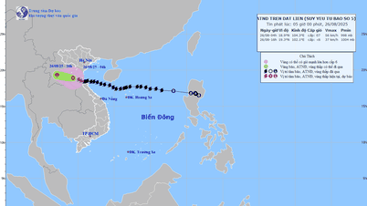
According to international meteorological agencies such as JTWC - Joint Typhoon Warning Center (under the US Navy) and Global Weather Forecast System (GFS - USA), this morning, August 27, the low pressure in the Philippines entered the East Sea.
This afternoon, the National Center for Hydro-Meteorological Forecasting issued a warning that the low pressure had strengthened into a tropical depression after entering the East Sea.

At 10:00 a.m., the center of the tropical depression was located at about 17.7 degrees North latitude and 119 degrees East longitude, with strong winds of level 6 and gusts of level 8, moving West Southwest at a speed of 10-15 km/hour.
It is forecasted that in the next 24 to 48 hours, the tropical depression will likely strengthen, move faster and approach the Hoang Sa archipelago (special zone).

At 10:00 on August 28, the center of the tropical depression was about 410km east of Hoang Sa with strong winds of level 6-7, gusting to level 9, the danger zone was from 15-18.5 degrees north latitude, east of longitude 114, with a level 3 natural disaster risk. At 10:00 on August 29, the tropical depression would be located right over the Hoang Sa sea area, with strong winds of level 7, gusting to level 9.
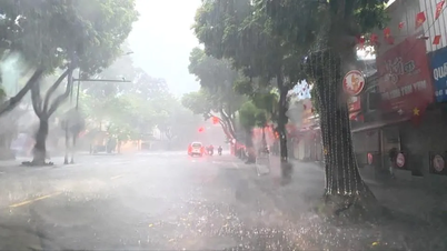
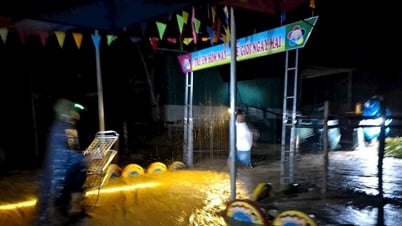
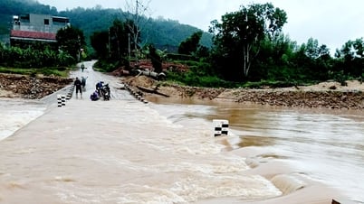
In the next 48 to 72 hours, the tropical depression will continue to move westward, traveling 10-15km per hour. At sea, the northeastern part of the East Sea will have strong winds of level 6-7 gusting to level 9, waves 2-4m high, and rough seas. Ships operating in the danger zone are at high risk of being affected by strong winds, large waves, thunderstorms, and whirlwinds.
Source: https://www.sggp.org.vn/ap-thap-nhiet-doi-tren-bien-dong-dang-huong-ve-phia-tay-post810376.html
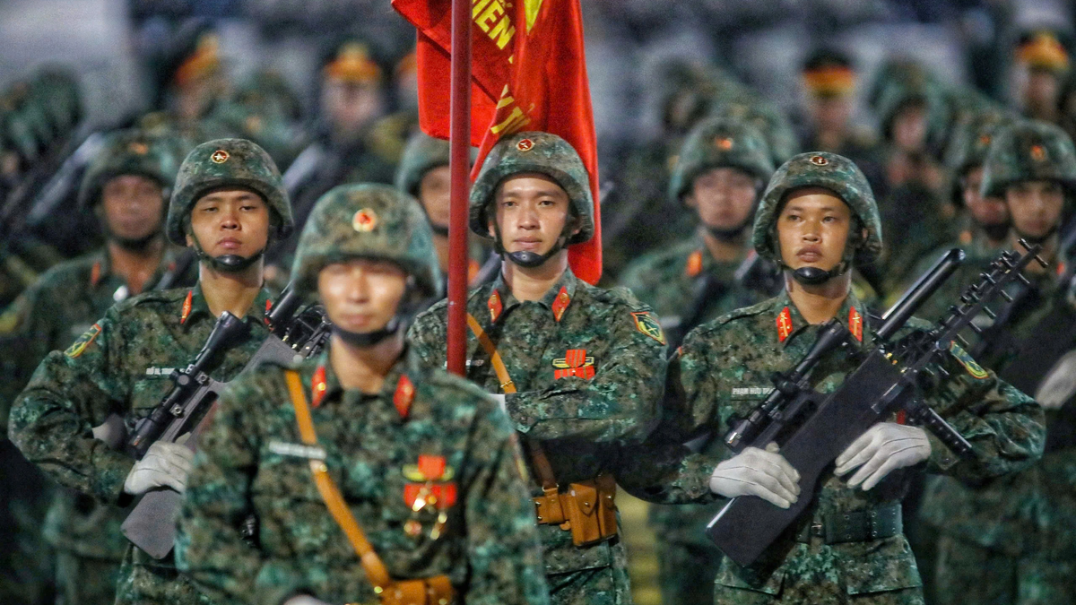
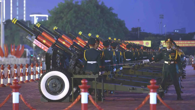
![[Photo] Images of the State-level preliminary rehearsal of the military parade at Ba Dinh Square](https://vphoto.vietnam.vn/thumb/1200x675/vietnam/resource/IMAGE/2025/8/27/807e4479c81f408ca16b916ba381b667)

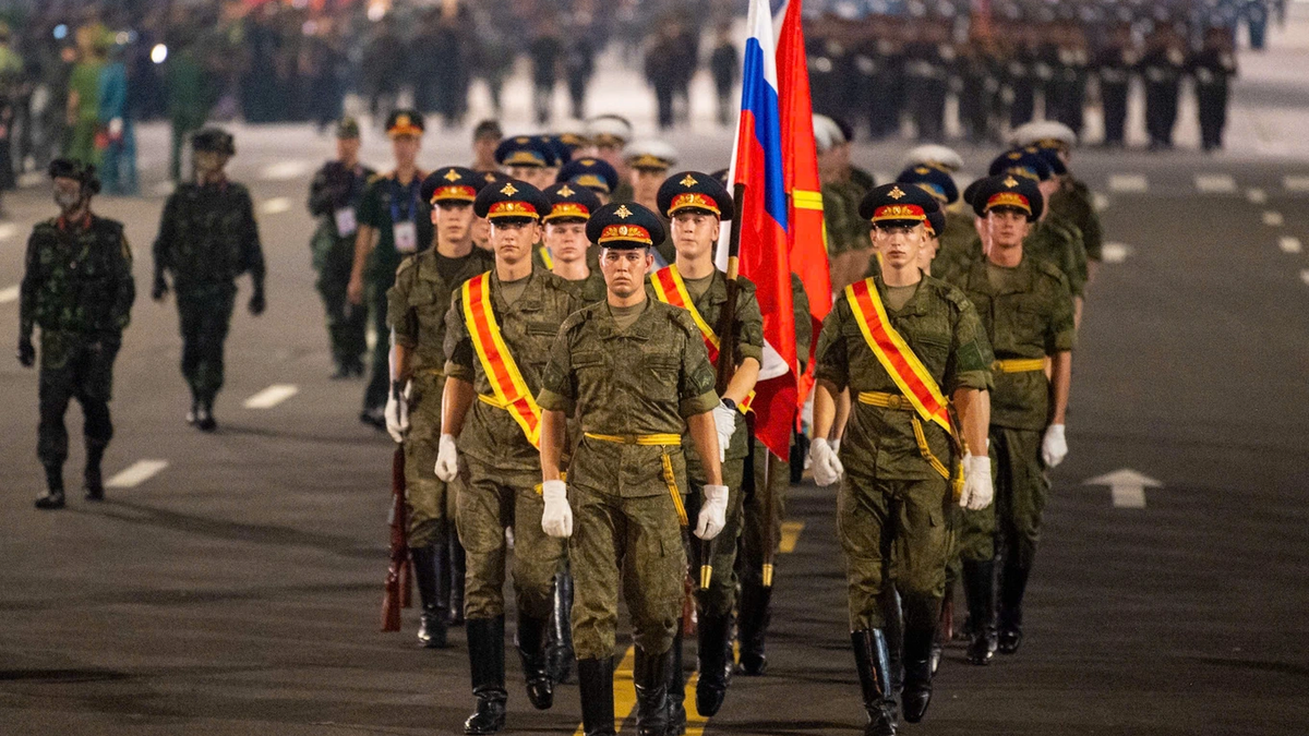
![[Photo] Parade blocks pass through Hang Khay-Trang Tien during the preliminary rehearsal](https://vphoto.vietnam.vn/thumb/1200x675/vietnam/resource/IMAGE/2025/8/27/456962fff72d40269327ac1d01426969)


Comment (0)