
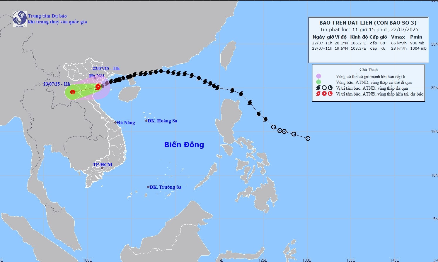
According to the National Center for Hydro-Meteorological Forecasting, at 11:00 a.m. today, storm No. 3 made landfall in the provinces of Hung Yen - Ninh Binh with strong winds of level 8, gusting to level 10. The storm is currently moving in the West-Southwest direction at a speed of 10-15km/hour and will continue to weaken into a tropical depression tonight, then into a low pressure area over the Upper Laos region.
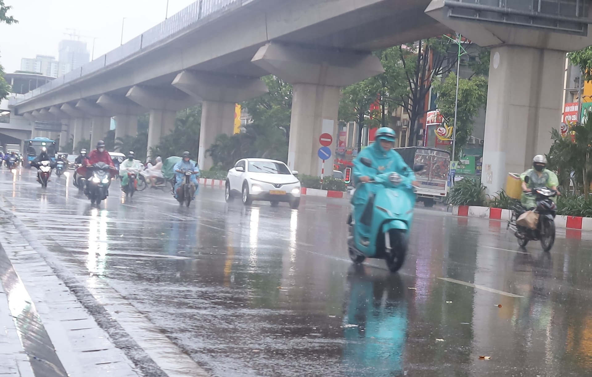
Due to the impact of the storm, coastal areas from Quang Ninh to Nghe Anh have strong winds of level 6-7, near the storm center level 8, gusting to level 10. Deep inland, the provinces and cities of Hanoi , Hai Phong, Hung Yen, Bac Ninh, Ninh Binh and Thanh Hoa have gusts of level 6-8. At this intensity, the wind can break tree branches, blow off roofs, causing damage to houses.
In addition to strong winds, from now until July 23, the Northern Delta, Thanh Hoa and Nghe An will experience heavy to very heavy rain, with rainfall ranging from 100-200mm, and in some places over 300mm. Heavy rain in a short period of time can cause urban flooding, landslides in mountainous areas, and flash floods in small streams.
To reduce loss of life and property, people in the capital should continue to check and reinforce houses, roofs, signs, and trim trees around the house; do not take shelter from the rain under trees, near power stations, or places where objects can easily fall. Move vehicles away from low-lying areas and areas at risk of flooding. Check manhole covers and manholes around the house, and cover basement doors if available. Prepare batteries, lights, and dry food if in areas that are easily isolated. Follow official warnings and avoid false rumors. When there is a request to evacuate, it is necessary to comply immediately, absolutely do not wait for the water to rise...

Source: https://hanoimoi.vn/bao-so-3-suy-yeu-dan-mua-lon-gia-tang-709997.html


Comment (0)