

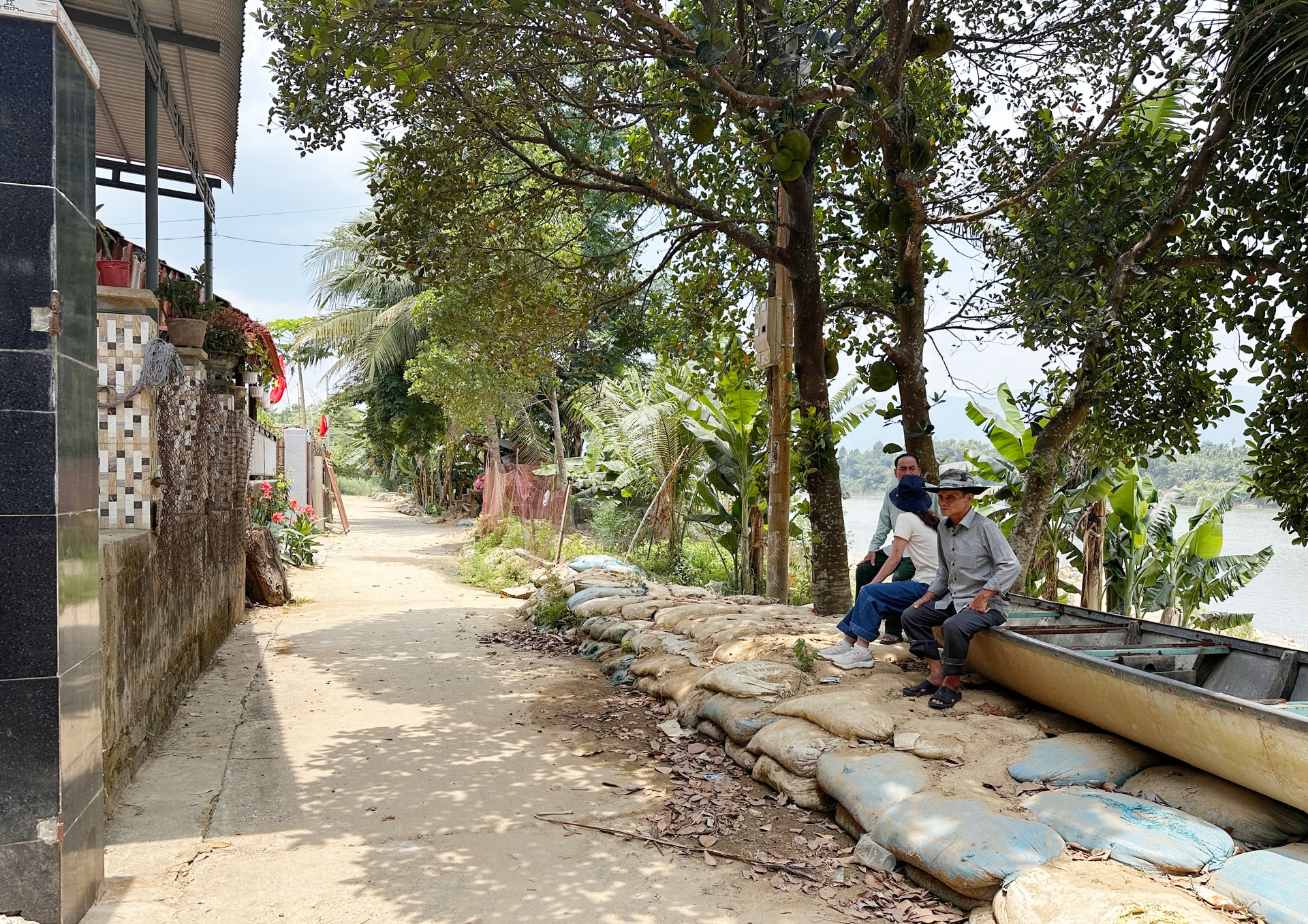
Constantly worried about landslides.
Ms. Nguyen Thi Hai (74 years old, Lam Yen village, Vu Gia commune) still hasn't forgotten the days of successive floods at the end of October 2025, when in less than 10 days, five consecutive floods swept through the residential area. The streaks of mud still clearly visible on the walls of her house today mark the water levels of each flood, and demonstrate the unusual intensity of the natural disaster.
Mrs. Hai's house was situated right on the riverbank, where the rising water flowed swiftly, swirling violently against the river's base. During peak periods, she and her husband had to proactively move their belongings, elevate their food supplies, and prepare a small boat in case the water rose rapidly during the night. Although they avoided life-threatening situations, the prolonged flooding, exceeding expectations, depleted their reserves, forcing them to rely on rescue forces to arrive later.

Mrs. Hai's story clearly reflects the changes in the Thu Bon River's flow in recent years, with water levels rising faster, receding more slowly, and the direction of flow tending to shift after each flood season. Sections of the riverbed exhibit numerous localized eddies, eroding the weak banks and altering the terrain in a short time, pushing the safety boundary of the residential area further and further inland.
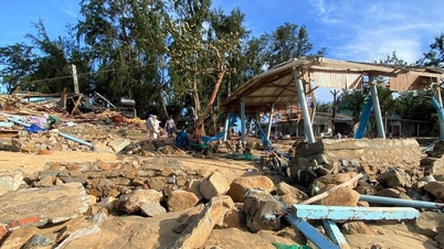
In Van hamlet, group 11, Tinh Yen village (Thu Bon commune), the landslide situation after the flood has shifted from a warning level to a direct risk. When the water receded, many sections of the riverbank were deeply eroded, forming cavities, with soil and rocks sliding down the river, dragging along trees and parts of agricultural land.
Mr. Tang Trung, Head of the Front Committee of Tinh Yen village, said: "After the floodwaters receded, the villagers realized the full extent of the danger. In some sections, the erosion had spread deep into the land in a short time, creating large cavities. Currently, the landslide area is only about 3 meters away from the residential area, threatening more than 150 households with over 400 people living along the river."
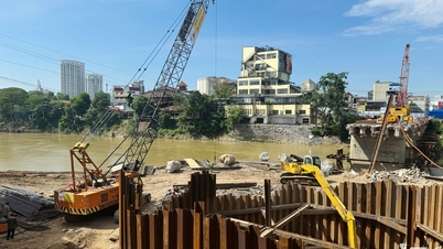
Faced with the urgent situation, residents and authorities used sandbags and bamboo stakes to temporarily reinforce vulnerable areas in order to limit further erosion. However, these solutions were only temporary; after a while, they deteriorated and were no longer able to withstand prolonged heavy rains and floods.
"If this year's rainy season brings major floods, the risk of further landslides is very high. People hope for the early implementation of a solid embankment project for long-term stability, because if it continues to be delayed, not only will they lose land, but the risk of losing their homes is also very clear," Mr. Trung said.
The fields are covered with sand.
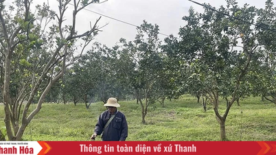
In addition to landslides, the 2025 floods also left severe consequences for agricultural production in the downstream areas of the Thu Bon and Vu Gia rivers, especially in the Go Noi area and riverside fields, with large areas of land being silted up, their structure altered, and their arable land reduced.
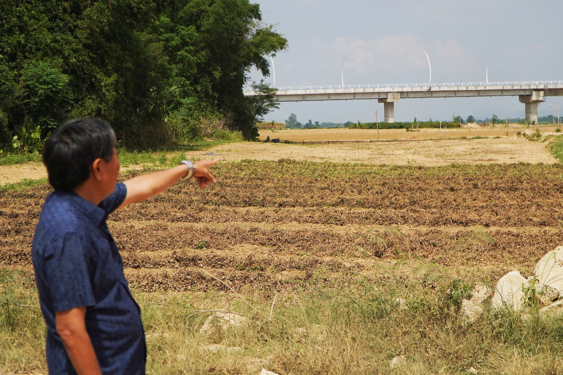
Mr. Ngo Van Phi, Director of Dai Minh Agricultural Cooperative (Vu Gia commune), said that this area is a low-lying region frequently affected by floods, but in recent years, the severity of natural disasters has exceeded the traditional production experience of the people.
"The 2025 flood will be very large, exceeding previous records. The cooperative alone has about 50 hectares of land covered in silt. Previously, it was loamy soil, but after the flood, it turned into sandy loam, with a significant reduction in alluvial content and a compacted soil layer. When heavy rains occur, it easily becomes waterlogged, and then when the sun comes out, the crops suffer root rot, making it almost impossible to recover in time for subsequent crops."
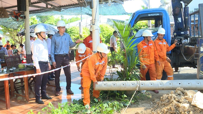
According to Mr. Phi, changes in soil quality have created many obstacles to restoring production, despite support from the local authorities. Many areas planted with crops for the year-end season have been damaged, resulting in reduced yields and significantly impacting people's income. In addition, the infrastructure serving production has also been affected, with floods damaging power poles and lines, disrupting electricity supply to the fields and increasing restoration costs, while production efficiency has not yet improved.
In the Go Noi and Ky Bi areas (Dien Ban Tay commune), siltation is widespread, with large areas of agricultural land covered by a thick layer of sand, in some places up to a meter deep. Previously, these fields were fertile alluvial soil, used for growing corn, peanuts, vegetables, and fruit trees, providing a stable income for the people. After the floods, many households were forced to abandon their land or consider changing their livelihoods.
Local residents say that recent floods have been unpredictable, with drastic changes in water flow, potentially causing the loss of large areas of farmland in just a few days of heavy rain. This situation not only has immediate consequences but also poses a long-term challenge regarding the sustainability of agricultural production in riverside areas.
The damage from last year's floods, from riverbank erosion to siltation of farmland, is creating a double burden on downstream areas, as they face the risk of land loss while simultaneously trying to restore their livelihoods under increasingly unfavorable conditions. With this year's rainy season approaching, many vulnerable areas remain unaddressed, highlighting the need for more fundamental solutions to mitigate risks and stabilize the lives of people living along the riverbanks.
Source: https://baodanang.vn/bien-dong-kep-o-ha-du-3337581.html





![[Photo] General Secretary and President To Lam presides over the meeting to approve the draft report on the results of the second inspection by the Politburo of the Standing Committee of the Hanoi City Party Committee.](https://vphoto.vietnam.vn/thumb/1200x675/vietnam/resource/IMAGE/2026/05/26/1779789811432_a2-bnd-4430-9620-jpg.webp)



















































































Comment (0)