

.jpg)
During the current period to the next few hours, the convective cloud area above will continue to cause scattered showers and thunderstorms in the above communes/wards, then spread to other neighboring communes/wards such as: Binh Giang, Gia Loc, Hai Duong , Cam Giang, Thanh Ha, Nam Sach, Chi Linh, Nguyen Trai, Chu Van An, Hai Hung, Nguyen Luong Bang, Bac Thanh Mien, Gia Phuc, Truong Tan, Dai Son, Chi Minh, Tan Ky, Tu Ky, Thanh Mien, Tan An, Vinh Lai, Khuc Thua Du, Nam Thanh Mien, Hong Chau, Ninh Giang, Lac Phuong, Nguyen Giap, Vinh Hoa, Thuong Hong...
Accumulated rainfall is generally from 20 - 30mm, in some places over 50mm.
.png)
During thunderstorms, beware of tornadoes, lightning and strong winds that can break trees and damage houses.
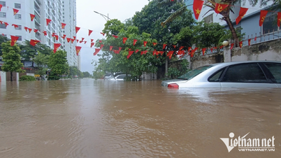
Due to continuous heavy rain, soil moisture models show that some areas of Hai Phong city are nearly saturated (over 80%) or have reached saturation.
.png)
In the coming hours, there is a risk of landslides on the mountain slopes in Phu Lien ward, Cat Hai special zone and Do Son ward, Nam Do Son ward.
At the same time, the National Center for Hydro-Meteorological Forecasting also warned of flash floods on small rivers and streams, and landslides on steep slopes.
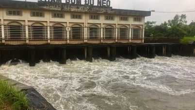
In particular, from August 26 to 28, a flood will appear on the Thai Binh river system. The flood peak of Luc Nam and Thuong rivers is likely to reach alert level 2-3, Cau river is below alert level 1.
PVSource: https://baohaiphong.vn/canh-bao-mua-dong-o-khu-vuc-tay-va-tay-nam-hai-phong-519183.html
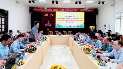
![[Photo] Prime Minister Pham Minh Chinh chairs meeting of National Steering Committee on International Integration](https://vphoto.vietnam.vn/thumb/1200x675/vietnam/resource/IMAGE/2025/8/26/9d34a506f9fb42ac90a48179fc89abb3)


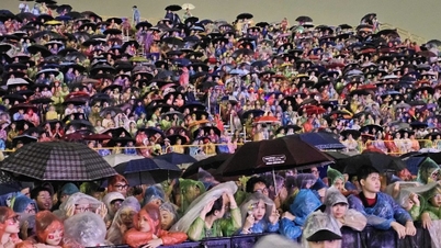
![[Photo] Many people eagerly await the preliminary review despite heavy rain](https://vphoto.vietnam.vn/thumb/1200x675/vietnam/resource/IMAGE/2025/8/27/4dc782c65c1244b196890448bafa9b69)

![[Photo] Brilliant red of the exhibition 95 years of the Party Flag lighting the way before the opening](https://vphoto.vietnam.vn/thumb/1200x675/vietnam/resource/IMAGE/2025/8/27/e19d957d17f649648ca14ce6cc4d8dd4)


![[Photo] General Secretary To Lam attends Meeting with generations of National Assembly deputies](https://vphoto.vietnam.vn/thumb/402x226/vietnam/resource/IMAGE/2025/8/27/a79fc06e4aa744c9a4b7fa7dfef8a266)


Comment (0)