
Strengthening the application of science and technology in forecasting and warning of hydrometeorology
In the context of current climate change, extreme weather, hydrological and oceanographic phenomena tend to increase in intensity and frequency. Typical examples are natural disasters such as flash floods and landslides in hilly and mountainous areas, including the northern mountainous areas; heavy rains causing flooding in large, densely populated urban areas...
Director of the Northern Mountainous Region Hydrometeorological Station Vu Thanh Long said: To forecast and warn of these types of natural disasters, it is necessary to have an automatic monitoring network system, real-time information transmission; modern forecasting models; along with the experience and responsibility of forecasters. At the same time, applying digital transformation to the field of hydrometeorological forecasting and warning to improve the reliability and timeliness of bulletins to serve the work of natural disaster prevention, search and rescue, helping to enhance safety and sustainable development in the region is the solution for the hydrometeorological sector.
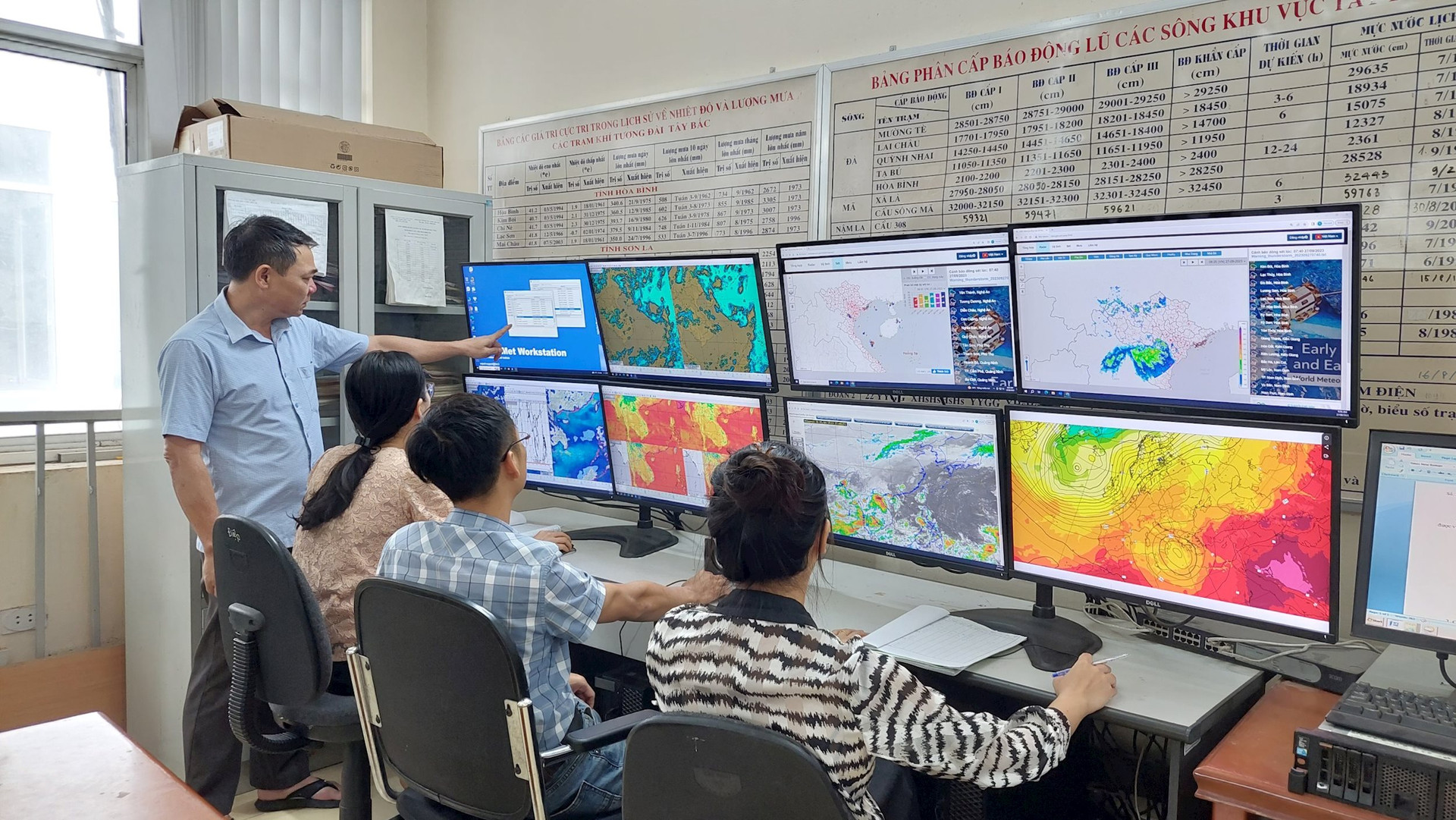
Currently, thanks to the monitoring data of the hydrometeorological station network transmitted directly to the center, then connected and shared on the CDH shared system of the General Department of Hydrometeorology, the regional hydrometeorological stations and provincial hydrometeorological stations can proactively exploit the data. In particular, the parameters have been updated, stored, and arranged scientifically to create a detailed report according to each time period that forecasters need when working.
Based on these results, combined with forecast and warning data from models; satellite cloud images and weather radar products, and their own experience, forecasters will be able to provide timely and highly reliable weather forecasts.
In recent times, the application of science and technology in monitoring, supervision, forecasting and warning of hydrometeorology has received attention for investment and modernization. The hydrometeorological monitoring network has been upgraded and modernized; gradually shifting from manual monitoring to automatic measurement, densely interwoven monitoring stations in mountainous and remote areas to ensure timely provision of data for forecasting, warning and monitoring of hydrometeorological phenomena.
Numerical forecast products are updated every 6-12 hours, satellite and radar cloud images are updated every 10 minutes, actively supporting the close monitoring of weather systems. Equipment for hydrometeorological forecasting and warning is also invested in relatively modern and diverse, gradually perfecting paperless forecasting.
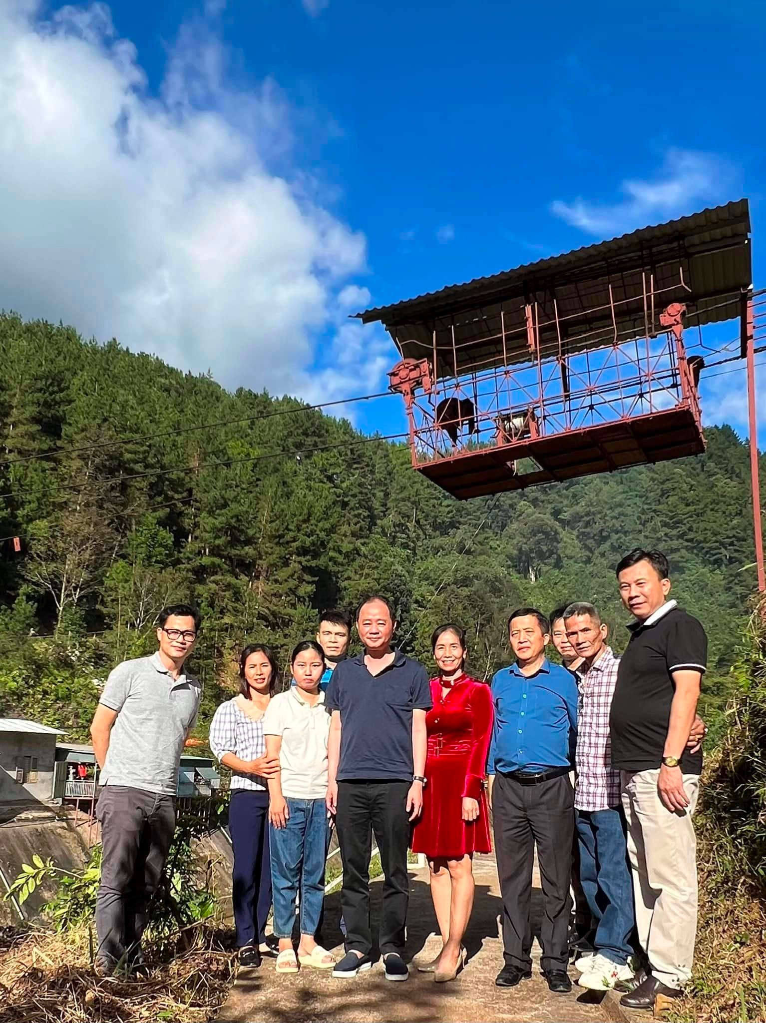
The Northern Mountainous Region Hydrometeorological Station is a public service unit under the General Department of Hydrometeorology, established on August 1, 2023 under Decision No. 1584/QD-BTNMT dated June 15, 2023 of the Minister of Natural Resources and Environment. The station performs the functions of monitoring, investigating, surveying meteorology, hydrology, and environment; hydrometeorological forecasting and warning; hydrometeorological data information within the area of 11 provinces: Lai Chau, Dien Bien, Son La, Ha Giang, Tuyen Quang, Cao Bang, Bac Kan, Lang Son, Lao Cai, Yen Bai and Phu Tho; performing hydrometeorological service activities according to the provisions of law; headquartered in Viet Tri city, Phu Tho province.
Disaster forecasting and warning work is developing strongly.
According to Director Vu Thanh Long, the Northern Mountainous Region Hydrometeorological Station always closely follows the direction of the General Department of Hydrometeorology to effectively carry out tasks of monitoring, forecasting, warning, and providing hydrometeorological information. The station has deployed early warning work for dangerous hydrometeorological disasters such as: Weather forecast, early warning of natural disasters up to 10 days in advance; forecasting and warning of heavy rain 2-3 days in advance; warning of thunderstorms 30 minutes to 2-3 hours in advance; warning of hot weather and cold air 5-7 days in advance. Monthly and seasonal forecasts are also detailed to districts and specifically forecast temperature and rain for each period. Flash flood and landslide risk warning bulletins are detailed to district level, some have reached commune level.
In addition, the Station has issued special bulletins for holidays and Tet, and organized important activities at the request of local departments and branches.
The station also proactively and actively coordinates the implementation of programs, plans and projects of the hydrometeorological sector on automatic real-time hydrometeorological data collection, building a centralized database, combining the integration of data from socio -economic sectors and geographic information to effectively apply and gradually build plans and models to shift from forecasting and warning of natural disasters to forecasting the impact of weather and natural disasters on people's lives and socio- economy .
The station has diversified information with specialized news bulletins serving different users, affected subjects, and topics; more diverse forms of information transmission on media platforms, social networks... helping information reach affected areas and subjects faster, more proactively, more easily understood and used.
Mr. Vu Thanh Long assessed that the work of forecasting and warning of natural disasters has made strong progress, ensuring reliability and accuracy compared to 5 years ago. The Ministry of Natural Resources and Environment and the General Department of Hydrometeorology have promptly issued new documents and regulations on forecasting and warning work to improve the effectiveness of hydrometeorological forecasting and warning, meeting the tasks of socio-economic development, ensuring national defense and security. The content and form of bulletins have changed a lot, with detailed forecast information reaching the district level and for longer periods.
The Northern Mountainous Region Hydrometeorological Station has 112 affiliated units, including: 3 functional departments (Office, Hydrometeorological Forecasting Department, Hydrometeorological Station Network and Information Department); 10 provincial Hydrometeorological Stations, 51 meteorological stations; 45 hydrological stations; 2 weather radar stations, 1 environmental station and exploiting data from more than 500 automatic rain gauge stations in the region.
Source


Comment (0)