
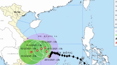
From the night of September 23 to the morning of September 24, the tropical depression east of the Philippines intensified into a storm, internationally known as Bualoi. On the morning of September 24, the center of the storm was at about 9.8 degrees North latitude - 132.4 degrees East longitude, with the strongest wind at level 9 (75-88 km/h), gusting to level 11, moving in the West Northwest direction at a speed of 15 km/h.
 according to the model on September 24 of the National Center for Hydro-Meteorological Forecasting")
It is forecasted that around the night of September 26, the storm will enter the East Sea (one day earlier than previously forecast) and become the 10th storm in 2025.
In the next 24-72 hours, the storm will continue to strengthen. By 7am tomorrow morning, September 25, the center of the storm will be at about 11.3 degrees North latitude - 129.7 degrees East longitude, level 9-10, gusts of level 12. By the morning of September 26, the storm will continue to strengthen to level 10, gusts of level 12. By the morning of September 27, the storm will be level 11, gusts of level 14. Storm Bualoi is forecast to be able to strengthen to level 12 or higher.
During the next 72-120 hours, the storm will move rapidly in the West-Northwest direction at a speed of 20-25km/hour and continue to strengthen.

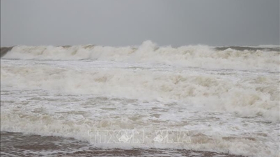
The National Center for Hydro-Meteorological Forecasting noted that from the evening and night of September 26, the Northeast Sea and the middle of the East Sea will have winds gradually increasing to level 6-7, then increasing to level 8-9; the area near the storm center will have strong winds of level 10-11, gusting to level 14, waves 5-7m high, and rough seas. The North and middle of the East Sea are identified as particularly dangerous for ships operating at sea.
Source: https://www.sggp.org.vn/dem-26-9-bao-so-10-vao-bien-dong-post814476.html


Comment (0)