


On the afternoon of May 28th, the National Center for Meteorological and Hydrological Forecasting warned of the risk of thunderstorms, tornadoes, lightning, and hail in the inner city area of Hanoi.
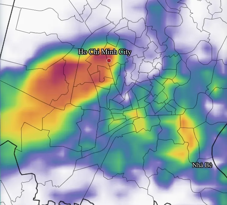
According to the meteorological agency, based on satellite imagery, lightning location data, and weather radar images, convective cloud clusters are forming in the areas of Phuc Thinh, Dong Anh, Phu Dong, Vinh Thanh, and Viet Hung in the eastern part of Hanoi.
The cloud system tended to move slowly northward and expand into Viet Hung, Bo De, Hong Ha, Phu Thuong, Tay Ho wards and surrounding areas during the afternoon and evening of May 28th.
According to data from the Metar/TAF aviation climate monitoring system, at Noi Bai Airport (Hanoi) at 4 PM on May 28th, there was a thunderstorm and the temperature was around 35 degrees Celsius. Observation data from 1 PM to 4 PM on the same day showed temperatures fluctuating between 35-37 degrees Celsius.
The National Center for Meteorological and Hydrological Forecasting predicts that from May 29th to June 1st, Hanoi's weather will tend to be milder, with temperatures decreasing compared to the previous hot days. This is favorable weather for students in Hanoi and some provinces participating in the high school entrance exam.
The National Center for Meteorological and Hydrological Forecasting warns that from the beginning of next week (June 1st), Hanoi and the Northern region are likely to experience hot weather again, with temperatures gradually rising.
Source: https://www.sggp.org.vn/ha-noi-sap-co-mua-dong-ket-thuc-dot-nang-nong-post854849.html



![[Photo] Standing Committee member of the Party Central Committee Tran Cam Tu working with the Central Inspection Committee](https://vphoto.vietnam.vn/thumb/1200x675/vietnam/resource/IMAGE/2026/05/28/1779969579668_ndo_br_bnd-2495-jpg.webp)
































































































Comment (0)